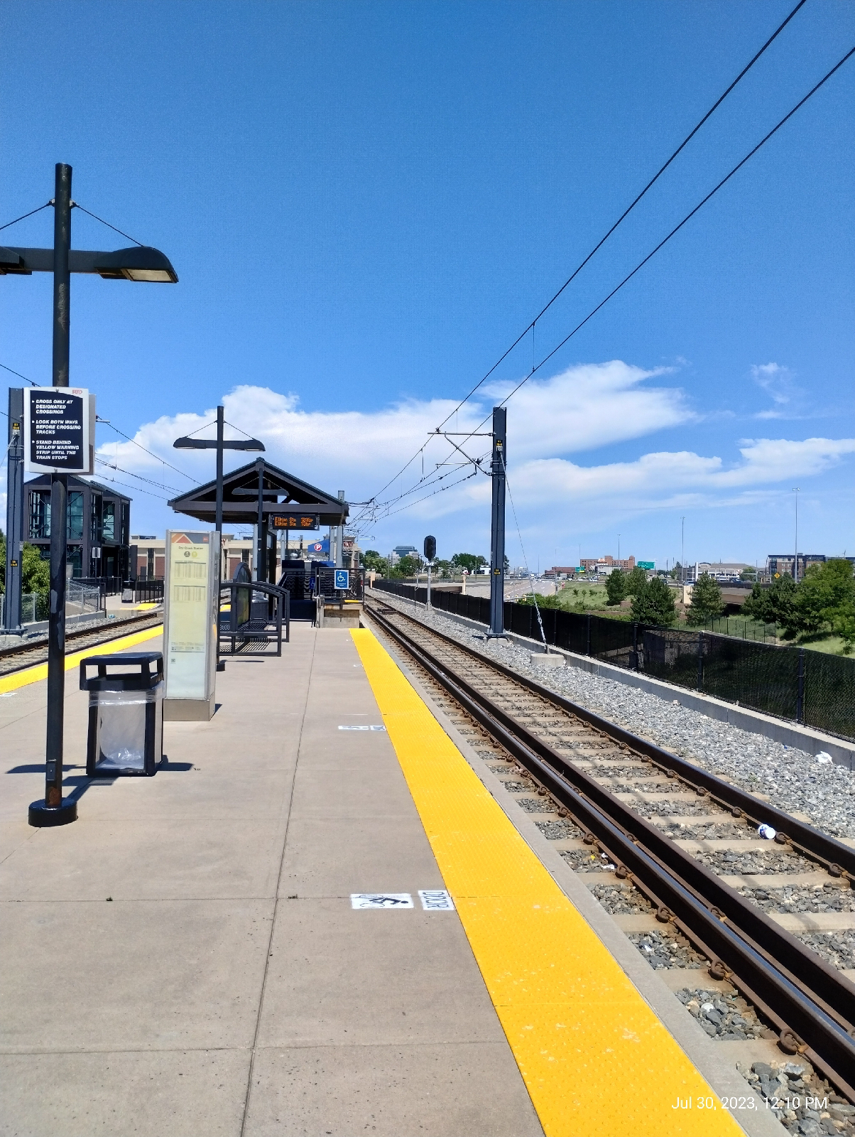
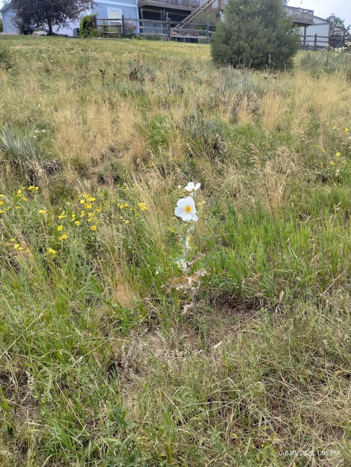
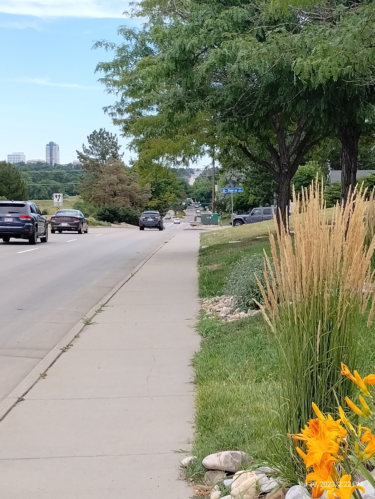
At Dry Creek Station, the day promised (and delivered) sun and heat.
There was a chance of thunder storms. Barometric pressure was dropping and humidity was in the upper 40 percent. But I wasn't holding my breath (I needed all I could conserve.)
The requisite shot of the Rockies, this time from Dry Creek Road. Dry Creek Road makes a straight shot toward South Platte Park and the Carson Nature Center so I was solidly on the divide between the South Platte River and Cherry Creek. This was home territory. The church with the sharp steeple is Good Samaritan Episcopal, a church I've attended several times since moving to Centennial. Willow Creek Covenant community is to the left and Willow Creek crosses the road a little further down. That was my destination.
These little guys are a feature in the Denver Metro area. I have a friend who distributes pellets of food laced with bubonic plague vaccine. The fleas prairie dogs host carry the plague. I'm sure that some would come up with the solution of just exterminating the creatures but they're an important step in the food chain.
They're pretty fascinating in their own right. As you near the prairie dog town, you hear them barking. It's been a focus of research because they have a complex language that includes identifiers for individual prairie dogs.
At Willow Springs Green Space, Willow Creek has picked up a lot of water since drizzling out of the Bluffs, and is about to pick up more. This area isn't far from it's confluence with Little Dry Creek. There, the two will merge and become Little Dry Creek.
I'm not sure why that is, or if there is even a solid naming convention. By this point, Willow Creek has run a lot further than Little Dry Creek. There's not a lot of difference in size normally, but Willow Creek will flood occasionally and I can't find that Little Dry Creek ever has. About a month ago, the reservoir on Willow Creek was allowed to fill up due to our particularly wet monsoon season. There were boats out on the resulting lake. The United States Geological Survey has a hydrologic station on Little Dry Creek but (best I can tell) not on Willow Creek.
There is another blogger in the area that keeps an eye on Willow Creek and other local areas and maintains an interesting resource called "Naturalist Perspective". I check it occasionally for information in the area.
Sharon Pickens lives locally and explores the Denver Metro area, logging her explorations in Naturalist Perspective. She focuses on the nearby Willow Springs Open Space and is particularly interested in the wildlife and plants in the area, but she has somewhat to say about the geology of Willow Springs also. The website is well worth a look
The "Springs" part of the park name gives an idea of where some of the water comes from. Willow Creek is never far from the aquifer that underlies Denver, but this open space brings it to the surface as several small branches that flow into the creek. At least three streams join Willow Creek in the open space.
The new South Suburban Parks and Recreation markers keep visitors up on where they are and what's available and they're not unsightly .
There's a good variety of plant life around the creek. This burdock is doing it's best to be photogenic.
The park system has some off leash areas but most of the areas require dogs to be on leash. There are reasons and South Suburban tries to make those reasons explicit.
Willow Springs is located in and around Englewood Reservoir, a depression behind an earthen dam in Centennial. It infrequently becomes a lake. It's purpose is primarily flood control. But South Suburban is conscious of opportunities for education.
These plaques are scattered around the park explaining the purposes of the reservoir and conservation in the area. The dam, built in 1936, is 15 meters (50 feet) tall and 520 meters (1700 feet) long. It can impound 28 square kilometers (11 square miles) and 1,832,000 cubic meters of water. Usually, there's just a swampy area behind it.
That's a bike park below the dam. There are nice views of the mountains from the top.
Arapahoe Road...I've walked up that grade way too many times. One of the grocery stores I use frequently is west of here. The photo doesn't come close to doing that hill justice. The tall building in the background is Village Center Tower One and it stands directly over Arapahoe light rail station. I'm going to cheat this time and not end up there. Home is at the top of that hill.
You're looking at the crest of the South Platte River valley. At the top is Interstate 25 and the light rail. The other side slopes down into Cherry Creek valley. Cherry Creek doesn't arise in the mountains. It's a plains stream that starts on Palmer's Divide near Castle Rock. One of the two major streams in the Denver Metro area, it joins the South Platte in downtown Denver.
Willow Creek joins Little Dry Creek a little northwest of this point. There's another of those flood control dams, Holly Reservoir, across the street.
There's a stream gauge up there somewhere, but it's on private property in the middle of an HOA so this is as close as I'll go. It would just look like a metal box, anyway. I do get readings from it on my phone, though.
The United States Geological Survey maintain hydrologic stations all over the country. Most of them transmit their data so the only human presence required is occasional maintenance.
The most primitive stage measure is just a ruler against a bridge support. There's one on Bear Creek at Knox Court.
The one in Sturbridge Community is a stillwell. The surface of streams tend to be turbulent, so it's hard to get precise measurements with a ruler. A Stillwell is a conduit from the stream to a vertical pipe. The surface of the water in the pipe is even with the surface of the water on the stream, except that it's still (thus, "still" well.). There are several setups that can convert water level to electronic data, for instance, a float connected to a pulley that drives a potentiometer. The electronic signal is then transmitted to the USGS site in Denver, or the water authorities in Centennial and Littleton, or to...my phone.
Little Dry Creek is at, eh,
5.53 feet. I have two apps to track streams in my area: Flow Alert (by Shaina) and Rivercast (by Juggernaut Technologies Inc ). Both provide stage and flow data. The measurement shown above is a stage measurement. I can guarantee that Little Dry Creek isn't five feet deep there. Stage measurements are depths compared to some arbitrary vertical elevation. It might be sea level, or the surface of the stream at zero capacity (the problem with that is that the elevation of the stream bed changes with time and erosion), or a nearby survey marker. I don't know what they use here but it doesn't really matter since what you want is just a constant you can use for comparison over time. Here's what Little Dry Creek does over time.
We had a little spike on the twentieth, hardly flood stage at six feet There was a little thunderstorm that day. I also get flow rate data.
Almost six cubic feet a second!
Streams have always fascinated me. I have an urge to follow them from beginning to end to see what they do. There may be meanders or waterfalls. My friends and I would dam up ponds to wade in. We'd camp on sand bars.
What do the streams in your area do? Do they ever flood? Is there a hydrologic station near you? How long does it take for the water level to rise after a rain? How long does it take to return to it's average stage?


No comments:
Post a Comment