Thursday, June 29, 2023

Lone Tree City Center Station to Lincoln Station. Urbanity

The southeastern lines of the RTD light rail are all about cities and plains. There's nightlife, great restaurants, attractions, and hiking on the plains and foothills. I live very near the Valley Highway, the stretch of I-25 that passes through the Denver area on the narrow ridge between the South Platte River and Cherry Creek valleys. The southeastern light rail lines parallel the highway.

For the next few hikes after Lincoln Station, I'm going to diverge from the huge shopping areas near the highway and explore Willow Creek (which we saw seeping from the Denver Formation aquifer at the base of The Bluffs.) At Arapahoe Station I'll pull back to the areas around the highway to explore some more urban settings like the Denver Tech Center, Denver University, Washington Park, and Broadway.

On the way to Arapahoe Station, I met this guy. They're a garter  snake. It's about the fifth snake I've seen since I moved to Colorado. I'm a little disappointed. Watching the movies, I expected to see snakes under every boulder.

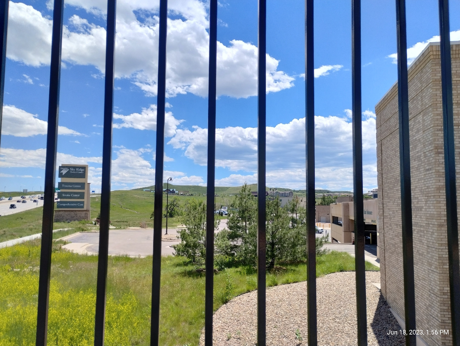
Back at Sky Ridge Station, I surveyed my surroundings.
It's actually a pretty nice vantage point to view the Bluffs and the Rockies. If you want to take in the Bluffs from light rail, it's a good choice. Leaving the station, just take Sky Ridge Avenue straight to Belvedere Park and follow Willow Creek up to the top.

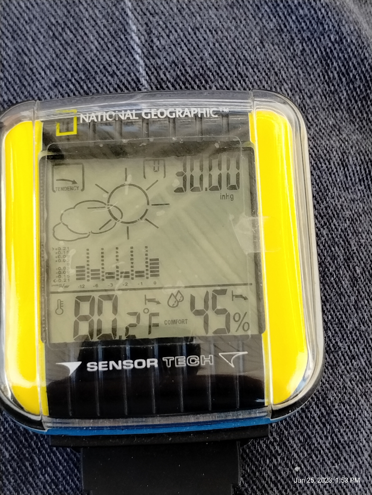
But that wasn't my destination this time. I took a minute to check with my "weather station" (my bones told me that if there was rain on the way, it would hold off for the duration of the hike. My bones are pretty reliable. But I wanted to play with my stuff.)

Lemme see. 30 inches of Mercury and rising. That's about one bar (a little high for this elevation...right at normal sea level pressure, though.), 101,000 pascals (looks heavy but weather is generally measured in hectopascals- a hectopascal is 100 pascals pressure), 762 torr. The weather looks pretty stable. No reason to expect thunderstorms. 80.2 degrees hot. 45 percent humidity...probably not enough moisture in the air to fuel any storms 

That's a screenshot from my Trail Sense app. It's a pretty nice utility for active people. It has a display for local weather that uses the phone's on board sensors and local and historical weather data. The barometric pressure is less than a tenth percent off from my Dekota pocket weather meter, so I'll forgive that. Again, high pressure rising looks like stable weather.

My barometer readout hasn't been calibrated and 819 hectopascals is pretty low. What's the altimeter say?

Eh, we're outside of the Denver Basin so, over a mile in elevation. I'll accept that. The official Wikipedia elevation of Lone Tree is 5948 feet and the train Station is up on the ridge with the Interstate and the light rail. All instruments seem to be in good working order.

Actually, none of that is a surprise to me. As a pedestrian, my weather sense is pretty fine tuned, but if I were in the mountains with no connectivity, these instruments would prove their value. It's nice to see that they work well, occasionally.

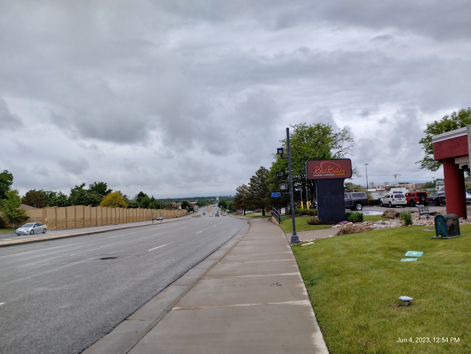
I could have walked a short distance through that little park near the station (see the last station-to-station blog) and I would have ended up at Lincoln Avenue, but it wouldn't have been much of a hike. Instead, I did a little road work and landed at the same place. There were fairly unremarkable high-rises.

Looking down Lincoln, I saw the leaf sculpture I had been seeing in the distance from Lone Tree...

so I decided to take a closer look.
It displays Denver's appreciation for cable-stay bridges. Instead of a mast, there's a nice looking leaf sculpture. I used it too get to the other side (sorta like the chicken). Then I walked up to the Interstate and the approach sidewalk to Lincoln Station.

The approach path is the longest one I have seen at any light rail station in the Denver area.
The pedestrian bridge, a typical cable-arch structure, provides a nice view of the countryside.

Again, it's the high plains but, specifically, Cherry Creek valley. Cherry Creek is over there, somewhere.

Lincoln Station is surrounded by several buildings-looks like apartments, businesses, and at least one cafe. It looks popular. The above fountain was at the other side of one. Denver likes it's water features.

And, speaking of water features, I'll be exploring Willow Creek next time.

Sky Ridge Station to Lone Tree City Center Station: Wha!?

I'm taking these first few hikes a little out of order. After Lincoln Station, the train stops at Sky Ridge, then Lone Tree City Center, and then the terminus - Ridgegate Parkway. Lone Tree is right next door to Ridgegate and it would be a quarter mile hike (if that much) if the short stretch between were not fenced and posted. To walk around through Lone Tree, you have to pass by Sky Ridge Station to get to Lone Tree City Center. And I'm not obsessive about it...

To recap, Sky Ridge Station is a gateway to Sky Ridge Medical Center, a sprawling hospital featured in passing in the last station-to-station blog. It's really big, I've visited friends and family there, and it has nice views of the Bluffs. 'nuff said about that 

The photo above shows the direction I started walking from the Sky Ridge Station. The stations might be a half mile apart. I walked under a couple of overpasses and I was there. (shrug)

The bridge over Interstate 25 provides some nice views of the surrounding countryside. It's the plains so there's not much to obstruct the view. It was warm. The sky was a crystal clear blue with scattered clouds. My Neanderthalish blood was pretty close to it's boiling point, but...eh, a pretty day with lots of blues and greens.

The only road to Lone Tree City Center (posted private property surrounding it almost the whole way) was rather in disrepair. Prairie soil is spongey (grasses decay into a tough spongey mass. Try not to get roped into digging a hole in prairie soul.) and not a good base for structures like roads and buildings. For buildings, you get a lot of heavy equipment and dig down to some kind of solid bedrock and build from there. For roads, you need to lay down a bed that can stand up to a lot of abuse, and then build the road on top of that. I'm not sure if they intended this road to be permanent or not.

The light rail makes a graceful sweep over the Interstate and the approach road, and lightly touches down at the station.

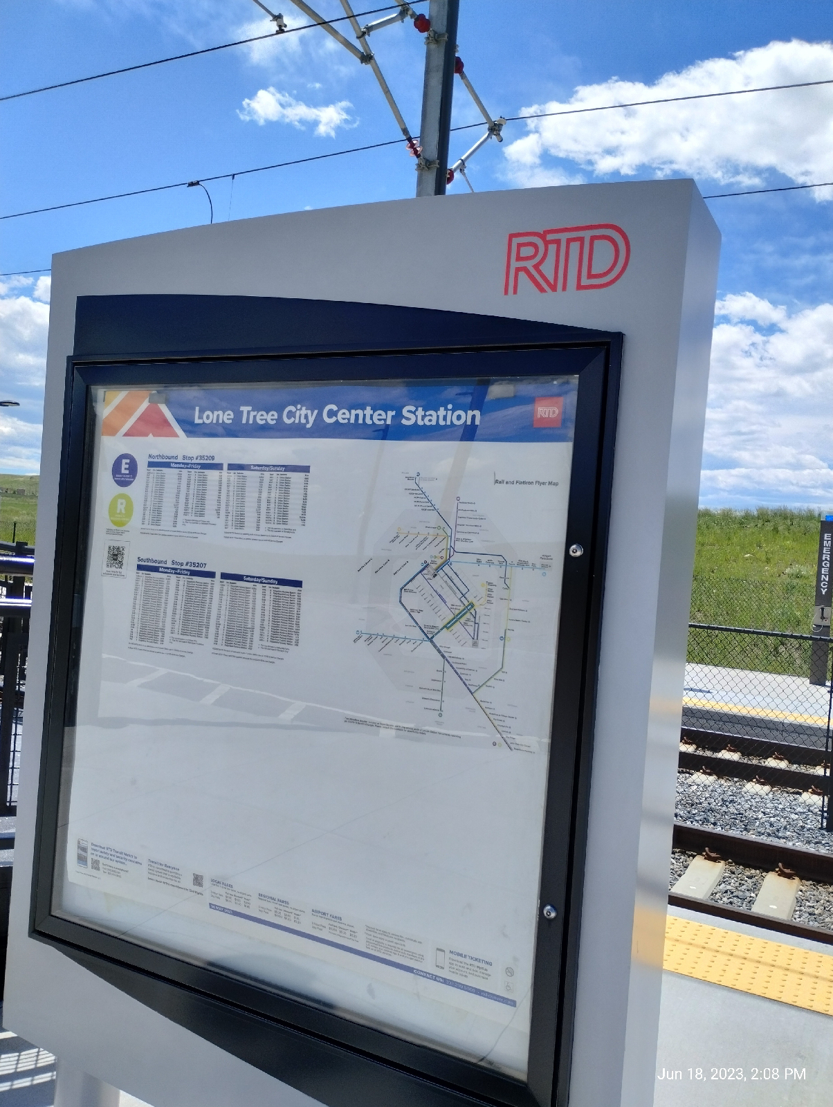
And here's Lone Tree City Center and, if you don't believe me, here's the sign.

and here's Lone Tree City Center.
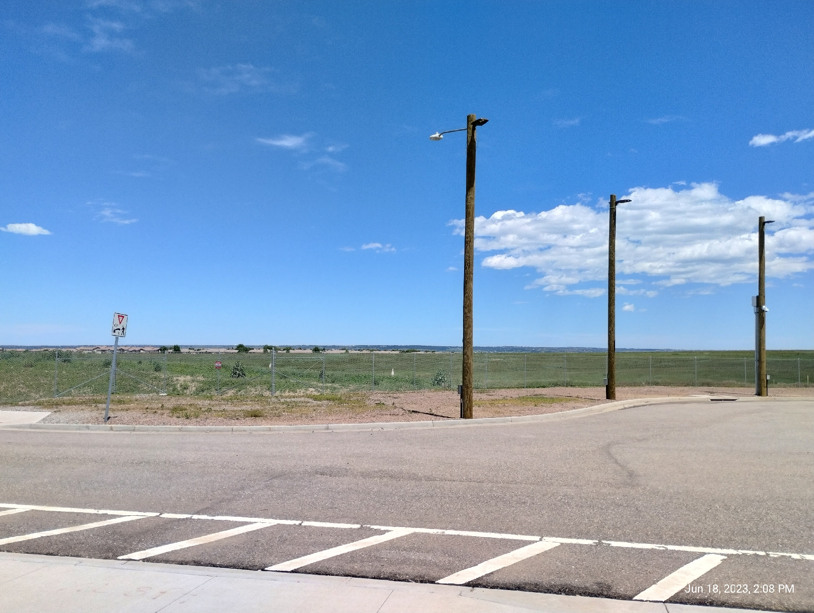
Okay, you're right. There's nothing there...well, the plains and that will be our next topic, but first let me flesh out why I'm standing in a wide expanse called "City Center". It's a huge development project, approved in 2018 that is intended to take up 400 acres and include thousands of homes, businesses and shopping areas.

Ummm...okay, that's it. They're still planning. Just wait for it.

Now, the plains...

As soon as the Colorado Plateau began to rise, erosion began to tear it down. In fact, eventually, the Rocky Mountains buried themselves. The plains used to ramp right up to the tops of the Front Range. They were 7,000 feet higher than they are today. There was no sudden wall of rock that there is today.

How do I know? Well, I read the books 

Also, I've been on top of Lookout Mountain and seen remnants of the old plains up there, what the geologists call the Rocky Mountains Erosion Surface. Somewhere under all that debris are basement rock like the Pierre Shale and chunks of mountain like the Pikes Peak batholith. Eventually, enough of the debris got washed on down to the Gulf of Mexico (or what passed for the ocean back then) so that we have the gradual slopes we have today extending from the Mississippi River up to the mile high, high plains, and then the rock wall.

It's not really as flat as I make out. That's my kenophobia talking. The more accurate description for the plains is "rolling hills". There are even some pretty spectacular canyons out there. Erosion is still going on. There's just very little to break the line of sight. It just goes...on...so...far...

If I have to drive across the Great Plains, I much prefer to do so by night. Unbroken horizons make me crazy.

I sat around and admired the Bluffs and was thankful that the plains were back there where I wasn't, then I got back on a train and went home.

Some people actually like flat land! The plains actually offer much...lakes and winding rivers, history, grass lands (grasses are actually very cool if you get to know them), farms and tourist attractions related to them (how many corn mazes are there in the Midwest?) and a few big cities. If you like flat and sunny with an occasional wind that will pick up your car or truck and move it over...there, then don't mind me. Check out the Great Plains.

A wildflower break

On one of my grocery runs, I noticed a lot of wildflowers blooming so I took some pictures. Enjoy!

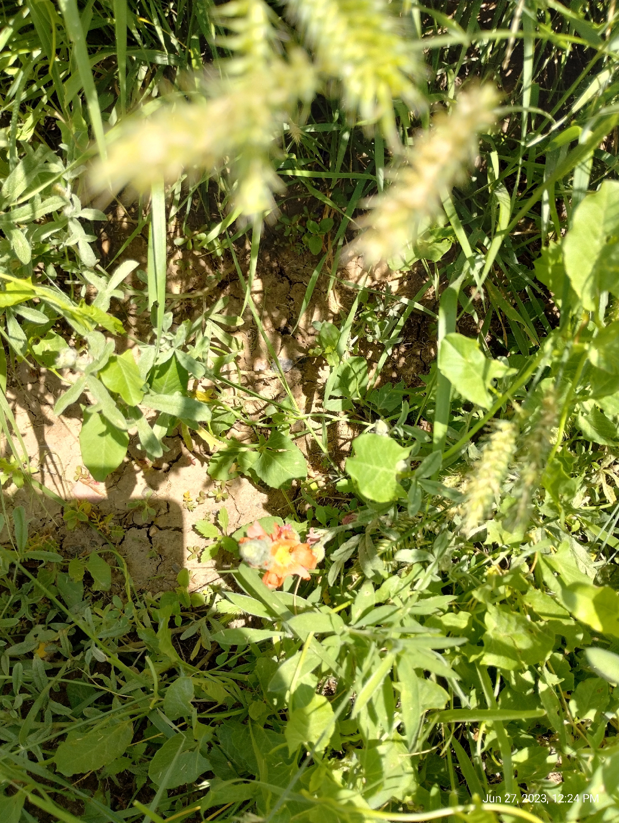
Since we moved to Centennial, I've only noticed a few patches of my second favorite wildflower each spring. This year has seen an explosion of copper mallows (aka cowboy's delight).

These are related to the more common Chinese mallows (also called "cheese weed". I guess that it reminded someone of wheels of cheese.)

A large variety of the daisy relatives are ever present and, of course, the grasses.

There's a little patch of prickly pear cactuses and yucca on the hill directly behind Walnut Hill Elementary School. Cactuses and other succulents produce extraordinarily beautiful flowers, well worth a closer look. Just watch out for the spines.

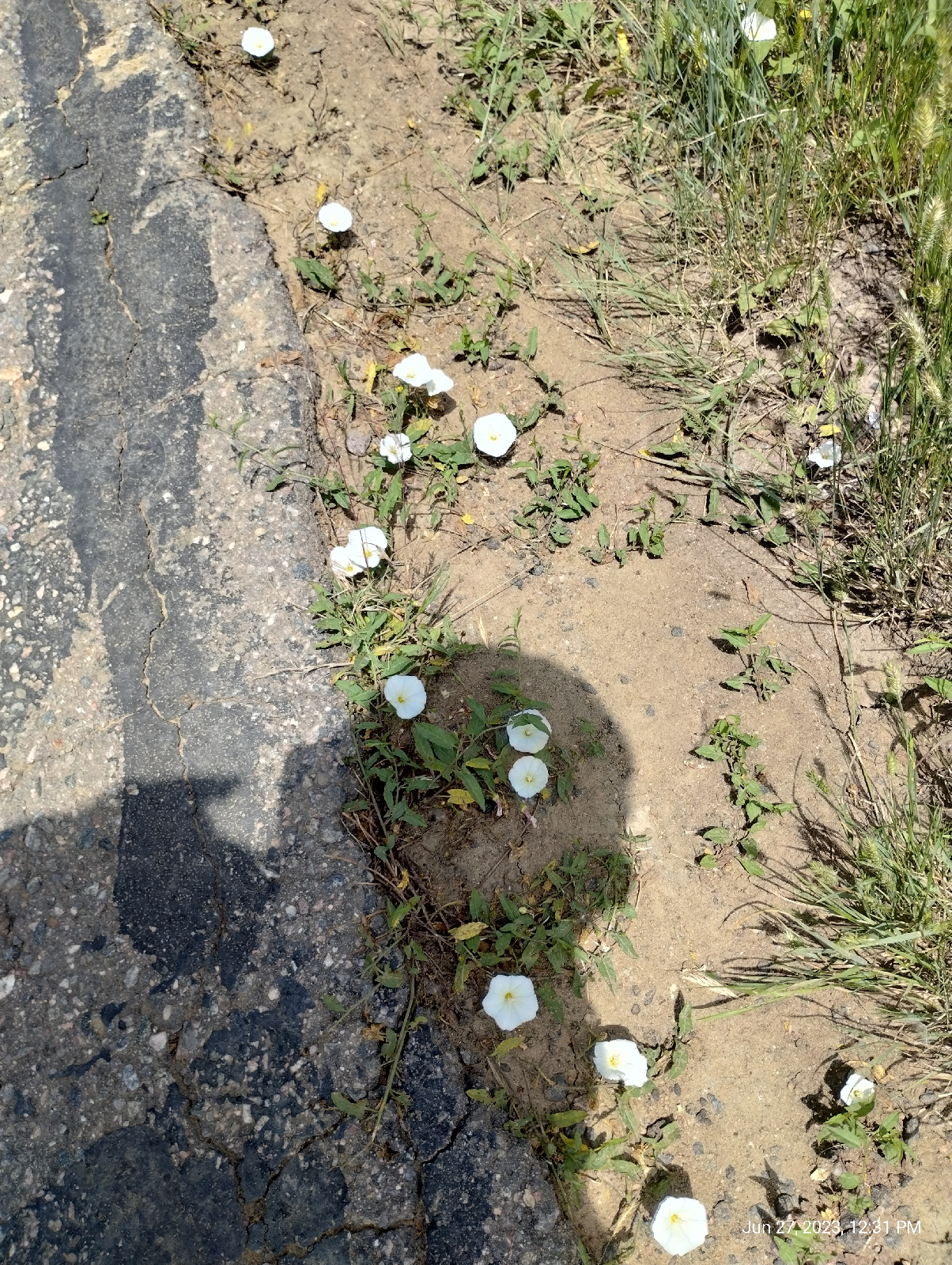
I guess the most common wildflower around here are the bindweed. Although some folks call them "morning glories" they're just relatives. 

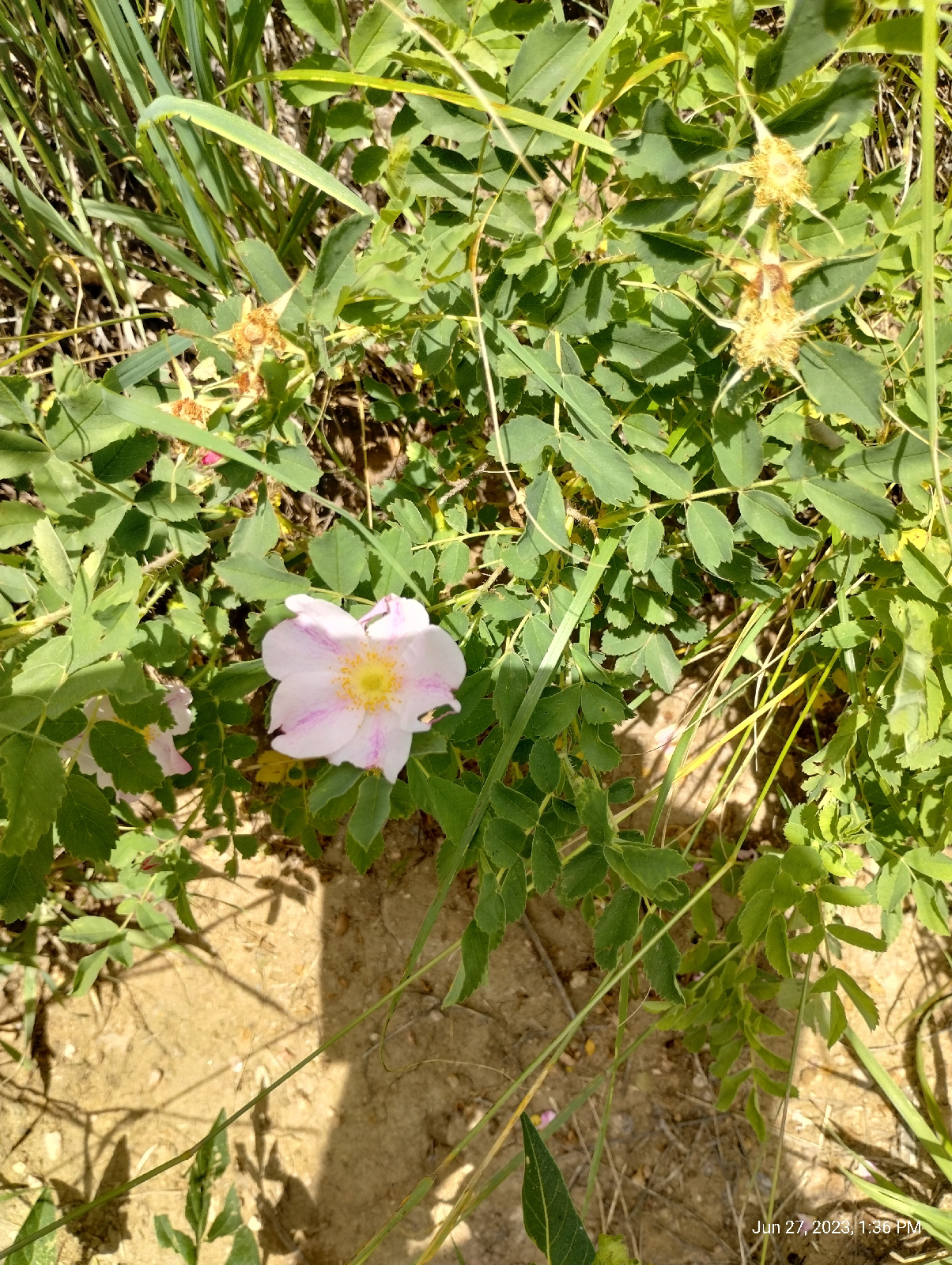
I'm always surprised to see wild roses in Colorado and I wonder if they're actually wild. What gardeners call "primitive roses" were popular with the settlers and, often, the wild roses you see in the US are escapees from old gardens, the homes long gone. Here are a few of the roses that grow near Uinta Street.

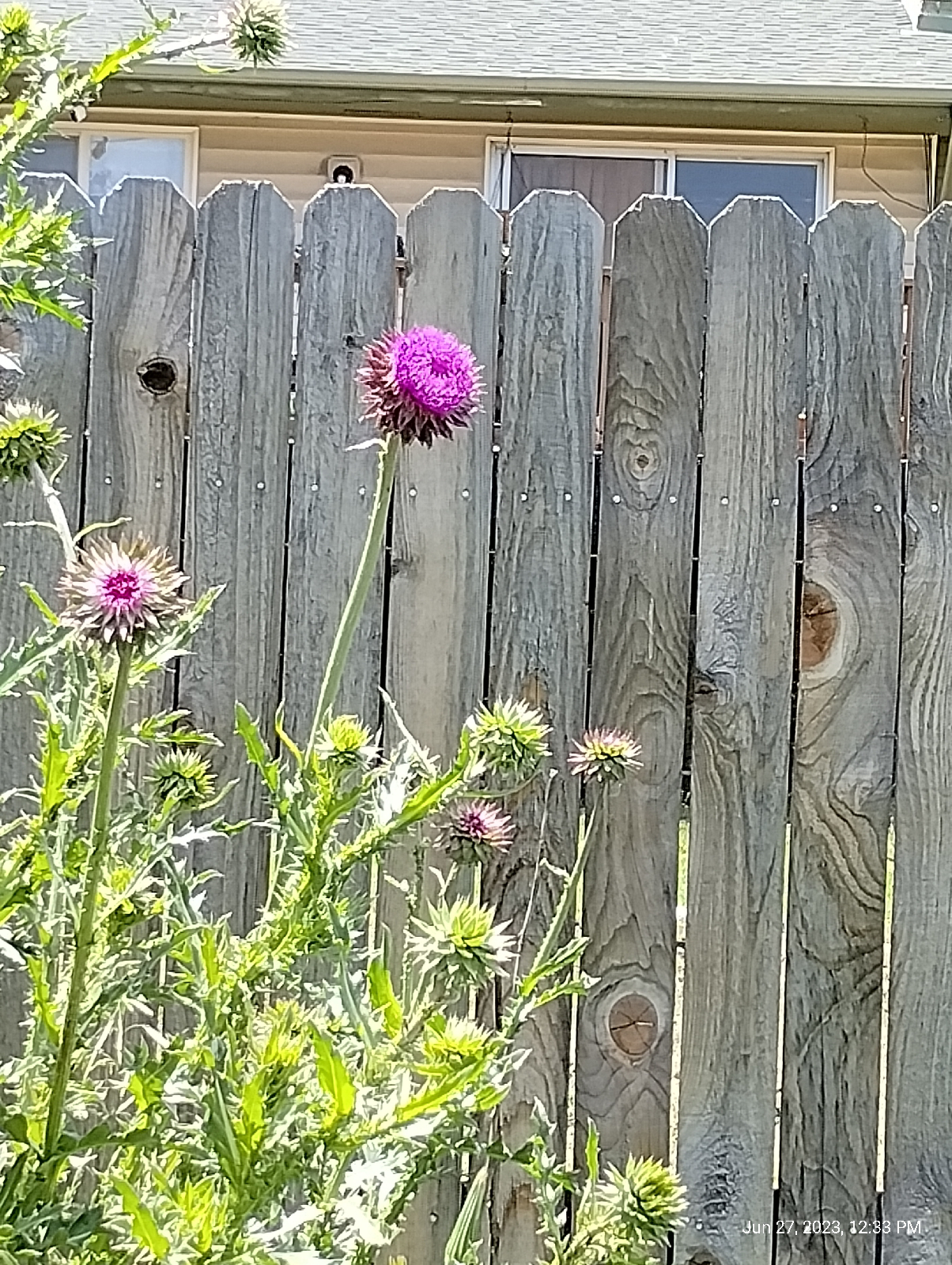
Thistles are weeds and there's little doubt of that. Don't tangle with them or you'll regret it. But they're also jewels of Colorado wildflowers.

The Little Dry Creek Trail runs through urban Centennial in the Walnut Hill neighborhood, so these wildflowers are field flowers, but Colorado treats it's citizens to some very showy specimens every spring. For the forest flowers, we have to travel west into the mountains.

While the rains are still falling, get out and see what's in your area. Take your camera and leave the flowers for others to see.

Friday, June 9, 2023

Surprising results


A classical demonstration in chemistry courses illustrates some important differences between substances with different kinds of bonds between atoms. It's simple and inexpensive so I'll be including it in the Chemistry LabBook. I'll describe two setups. The first is the most commonly used in chemistry classes. I recommend the second for reasons I'll explain.

The usual arrangement has a regular incandescent light bulb connected in series with a power plug and two strips of metal separated by a gap. Power won't flow to the bulb unless the gap is bridged by some conductor, in which the light bulb will glow. The metal strips are mounted so they can be dipped into beakers of fluid.

Don't use this setup unless you know how to safely handle household power. 

A much safer variation of the demonstration is shown above. In keeping with my theme of portable and inexpensive, I used two ChemPlate microchemistry reaction plates (made by Lab-Aids, Inc.) that could hold a dozen samples each. Instead of the lamp and electrodes wired to house current, I used a multimeter with an ohmmeter setting. The beaker is there for distilled water to rinse the ohmmeter leads between tests.

I used a DANSYS spreadsheet to collect the data. Here's a copy of the raw data 

Notice that the hydrochloric acid was recorded twice. The second record is an error (circled in red). You can ignore that one .

First, let's look at what this demonstration is supposed to demonstrate.

All the physical and chemical properties of substances are produced by the outer electrons in their atoms. Their radiologic properties are mostly due to particles in the nuclei (protons and neutrons). The other electrons throw in some weirdness. (The reason that mercury is liquid at room temperature has to do with the fact that its inner electrons are moving around so quickly that relativistic principles come into play. Also, the inner electrons shield the outer electrons from the influence of the dense, heavy nucleus.) The outer electrons, significantly for this blog, are responsible for the way atoms bond to form compounds.

There are only a handful of types of bonds and, in inorganic chemistry, there are three main kinds - metallic, ionic and covalent and they can all form lattice type structures. Two other types become very important in organic molecules - hydrogen bonding and van der Waals attraction. These often dictate the shapes of big molecules like proteins, nucleic acids, and other polymers.

An ionic bond is pretty much all electrostatic charges. You might remember from high school science that like charges repel and opposite charges attract. The atoms of metallic elements like to lose electrons to form positively charged ions, and nonmetallic atoms tend to gain electrons to form negatively charged ions (electrons have negative charges.) The reason is a little complicated but the most stable arrangement for atoms is to have two or eight electrons in the outer level. As an example, sodium in table salt has a lone electron in it's outermost shell so it's happy to give that one electron up because it's next level down has eight electrons. That gives a sodium ion a charge of positive 1. Chlorine, on the other hand, has seven electrons in it's outer shell and tends to take an extra electron to finish the outer shell of eight electrons. That gives the chloride ion a charge of negative 1.

Opposite charges attract so each positive sodium ion and negative chloride ion is drawn together to neutralize the charges forming sodium chloride, or common table salt. In ionic bonds, an atom gives up one or more electrons which are taken up by another atom.

Covalent bonds are more complicated. In a covalent bond, atoms share their electrons. The outer electrons end up moving around multiple atoms.

In metallic substances, the outer electrons are held very loosely by the atoms and form an electron cloud that flows through the substance.

Many substances have very orderly arrangements of atoms and that's what I mean by "lattice". If you look at salt with a magnifying glass, you will notice little white or clear cubes. Salt forms cubes because its atoms stick together as cubes. Each sodium atom is surrounded by six chlorine atoms, and each chlorine atom is surrounded by six sodium atoms. Substances that bond as lattices form crystals.

Electrostatic attraction doesn't stick things together very strongly. Think about pulling sheets of paper that are sticking together with static apart. When electrons are wrapping multiple atoms together in covalent bonds, the resulting structure can be very hard to split apart. The hardest natural substance known, diamond, is covalent. So ionic substances tend to be softer than covalent structures.

Well... one of the softest natural substances, graphite, is also held together by covalent bonds. And the funny thing is that both diamond and graphite are pure carbon. The difference is that, in diamond, each carbon atom is completely surrounded by other carbon atoms, bound to it by covalent bonds. In graphite, the carbon atoms are in sheets. The sheets are layered and bound together by a very weak type of bond (again, electrostatic) called van der Waal attraction.

Ionic bonds are so weak that they can easily be pulled apart by the charged molecules in water. Most people know this as "solution". Covalent substances usually will not dissolve in water. An exception is alcohol.

Another difference between ionic and covalent compounds is that ions, charged as they are, can carry electrons. Water is a covalent substance and, contrary to popular understanding, is not a good conductor of electricity. If you want water to conduct electricity, just dissolve a little of an ionic substances, like salt, or some acid or base, in it.

Which brings us to our demonstration. We should expect ionic substances to be relatively soft and to conduct well in solution. Liquid covalent materials are not expected to conduct well although some covalent lattice substances are moderately good conductors. They also tends to be hard. Metallic substances with their free floating cloud of electrons are generally excellent conductors and tend to be soft when pure.

This spreadsheet has the substances sorted by bond types. It's easier to tell what's going on by sorting according to properties so let's look at electrical resistance.

I used an ohmmeter to measure the resistances of these substances so the units are ohms. There are other units for measuring resistance but ohms are most popular in electronics. They tell how much electric flow is slowed down while passing through a substance.

Think about water passing through a hose pipe. The pressure of the water is analogous to the voltage in an electrical circuit. The rate of water flow is analogous to current (measured in amperes.) If you crimp the hose, you will resist the flow of water. In a circuit, resistance resists the flow of electricity. Resistance is defined as voltage divided by current.

Unlike the classic demonstration, I included several solids in mine. The results seemed rather random. For instance, copper at 2.5x10^7 looks like it puts up an awful lot of resistance to electricity. Also graphite, which is a moderately good conductor, looks pretty bad here. I suspect the reason liquids are used in the classical demonstration is the difficulty in getting a good connection between the electrodes and solid substances 

I shaded the cells for the liquids in blue and those substance behave nicely. The ionic materials in solution have low resistance and the covalent materials have high resistances.

Boy! I'm glad I didn't do that in front of a class!

Actually, if you ever plan to do a demonstration in front of people, practice it in private first.

The data. A nice thing about a spreadsheet is that you can sort the data. It can make it obvious if there are clusters. Spreadsheets are also fun to play with. If you don't have one, LibreOffice has a perfectly serviceable one and it's free to download. Check it out.

Monday, June 5, 2023

Ridgegate to Sky Ridge Station: A new line


The rail from Lincoln Station in the southern Denver Metro area to Ridgegate Parkway Station is not only a new stop for me (Actually I was here for the terminus hikes) but it's a new line for the Regional Transportation District. When I first visited this area to see an opthalmologist in Parker, the line stopped at Lincoln Station. That was around five years ago.

The explosive development in the Lone Tree area prompted the addition of the three new stations 

As usual, I started my hike with a short walk to Arapahoe Station. The day was cloudy and promised rain. The Rockies are usually clearly visible from this point on Arapahoe Road but not on this day. I was thankful for the cooler temperatures but expected to get some use from my rain gear.

A primary geological feature of the Lone Tree area is The Bluffs and, since I had lost many of my past photographs of the area, I wanted to replace them.

Mesas are flat topped hills. They can be formed in different ways. The two Table Mountains in Golden are ancient lava flows that protected the underlying soft sedimentary rock from erosion. The Bluffs were simply carved by wind and water.

This area is the northern border of the Palmer Divide, a ridge that separates the drainage lands of the South Platte and Arkansas Rivers. It was literally formed by fire and rain.

The uplift that formed the Rocky Mountains was a fairly quiet affair but around 25 to 40 million years ago something happened that geologists don't quite understand. Something touched off an intense period of volcanic activity in what is today Colorado and New Mexico. Called the Ingimbrite Flare-up, one of the last acts produced an explosion like none since. Mount Guffey blew it's top and covered the land to the east with lehars (volcanic mud flows) and pyroclastic flows hundreds of feet thick over 50 miles to the east.

Soon (geologically speaking, and maybe even in human terms) there were huge floods in the area. Although the volcanic material didn't extend as far east as the area crossed by I-25 today, the floods piled materials against tuff laid down by the volcano far out onto the plains. Now, how do I know all that happened?

Well, what's left of Mount Guffey is still up there near the Florrisant Fossil beds and the layers of tuff is still buried under the Rockies. Tuff is a rock formed when a pyroclastic flow settles down. The fine particles of volcanic debris ejected from the volcano weld together to form a tough (see what I did there?) material.

So, how do I know about the floods?. The record is up on top of the Bluffs and I'll address that later.

There is a good bit of development going on around Ridgegate Parkway Station...there has been for some time and I'm not sure what's holding it up. Wait until you see Lone Tree City Center 

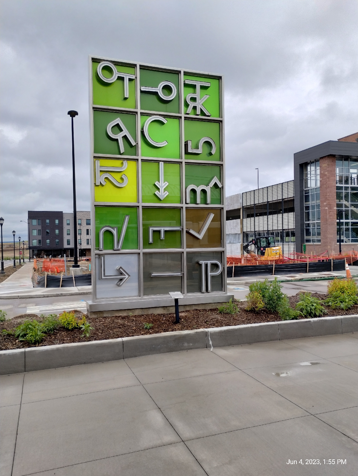
Like most of the train stations, Ridgegate has it's art.

It would be quite reasonable for a visitor to say, "What's all this?" so there's a plaque.

It's interesting that local ranches were brought into the process of developing this art piece. Do you recognize any of the coding symbols?

This area is a land of vistas. The plains stretch to the east but I was still in the Piedmont. This long shot isn't the plains proper but the wide valley of Cherry Creek.

Interstate 25, as it runs through the Denver area, is called the Valley Highway, which is appropriate since it runs along a high ridge dividing the valleys of the South Platte River and Cherry Creek. This is certainly a land of divides.

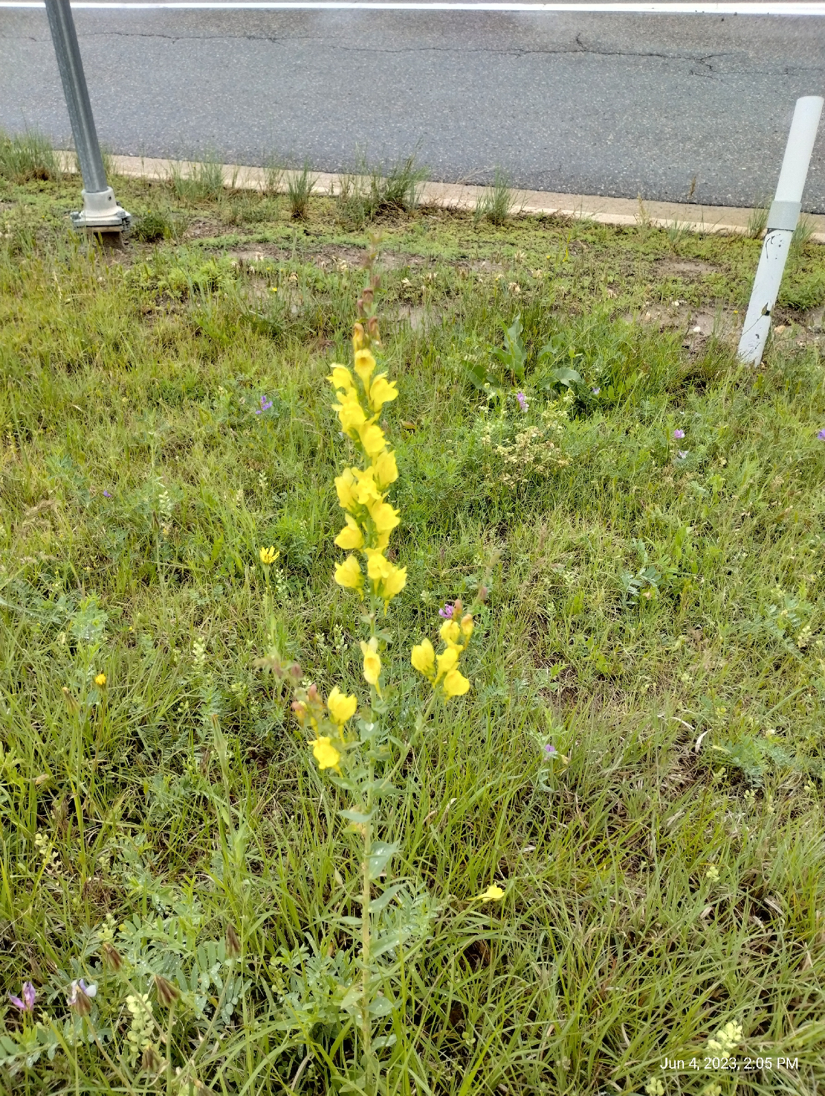
Walking into Lone Tree, I was treated to a profusion of wildflowers.

Yellow toadflax
Blue flax
Penstemon (beardtongue)

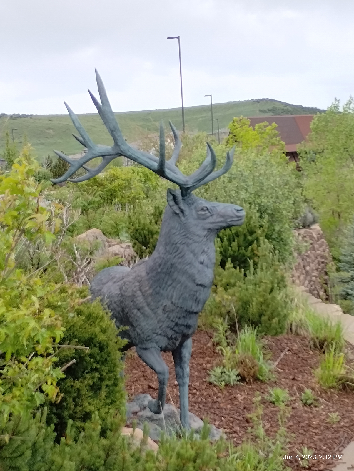
Just past the Interstate, the first thing you see in Lone Tree is the Cabala store with it's guardian buck. The stairs climb up to a parking lot.

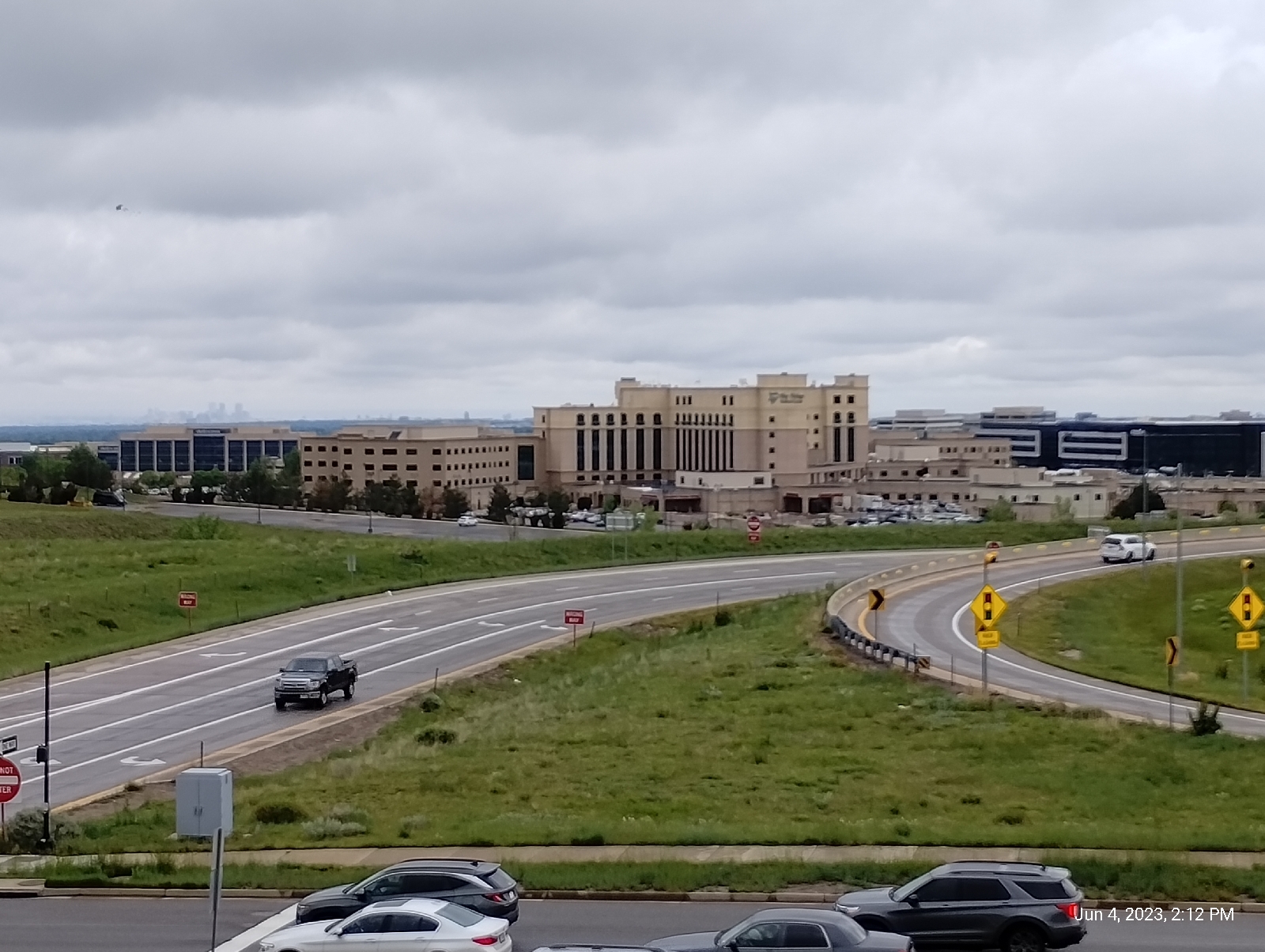
The parking lot provides a sweeping view of the Sky Ridge Medical Center. The main attractions of Lone Tree area Cabela, Sky Ridge, the Bluffs, and high end apartments.

This one caught my attention with it's seemingly thrown-together-at-random decor.

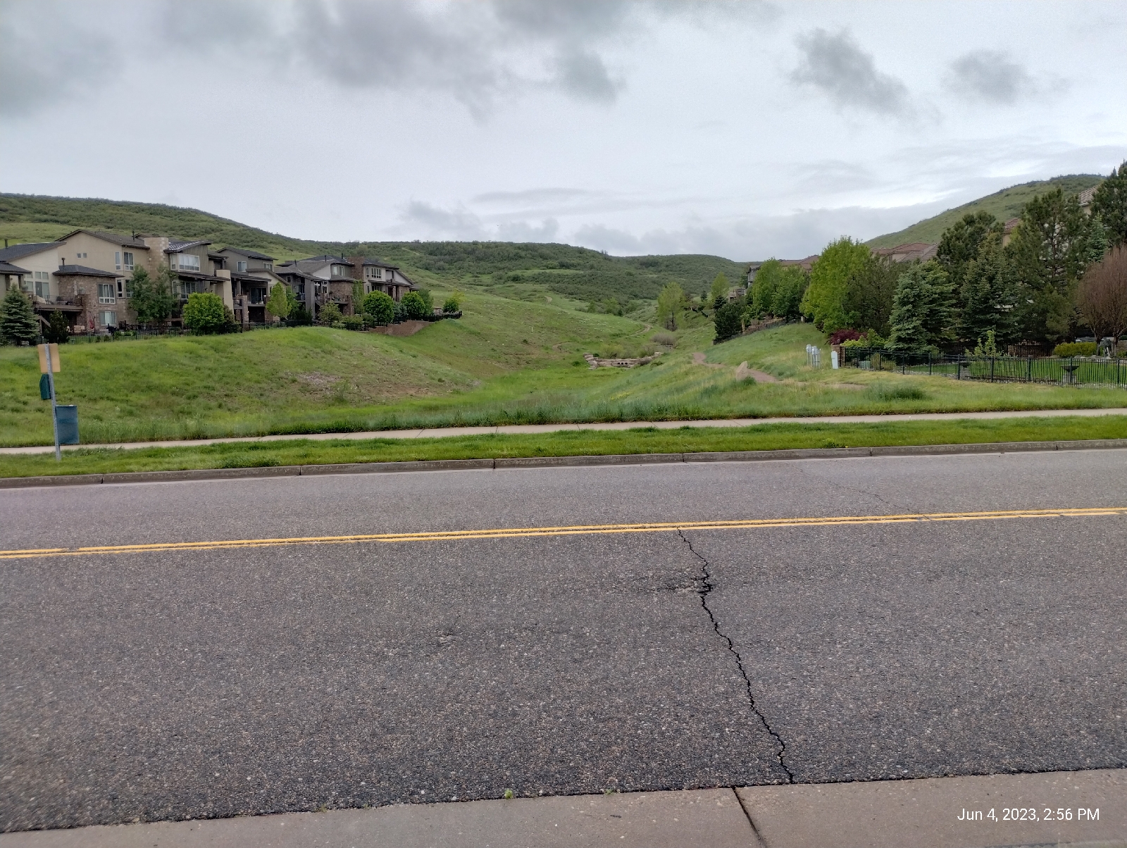
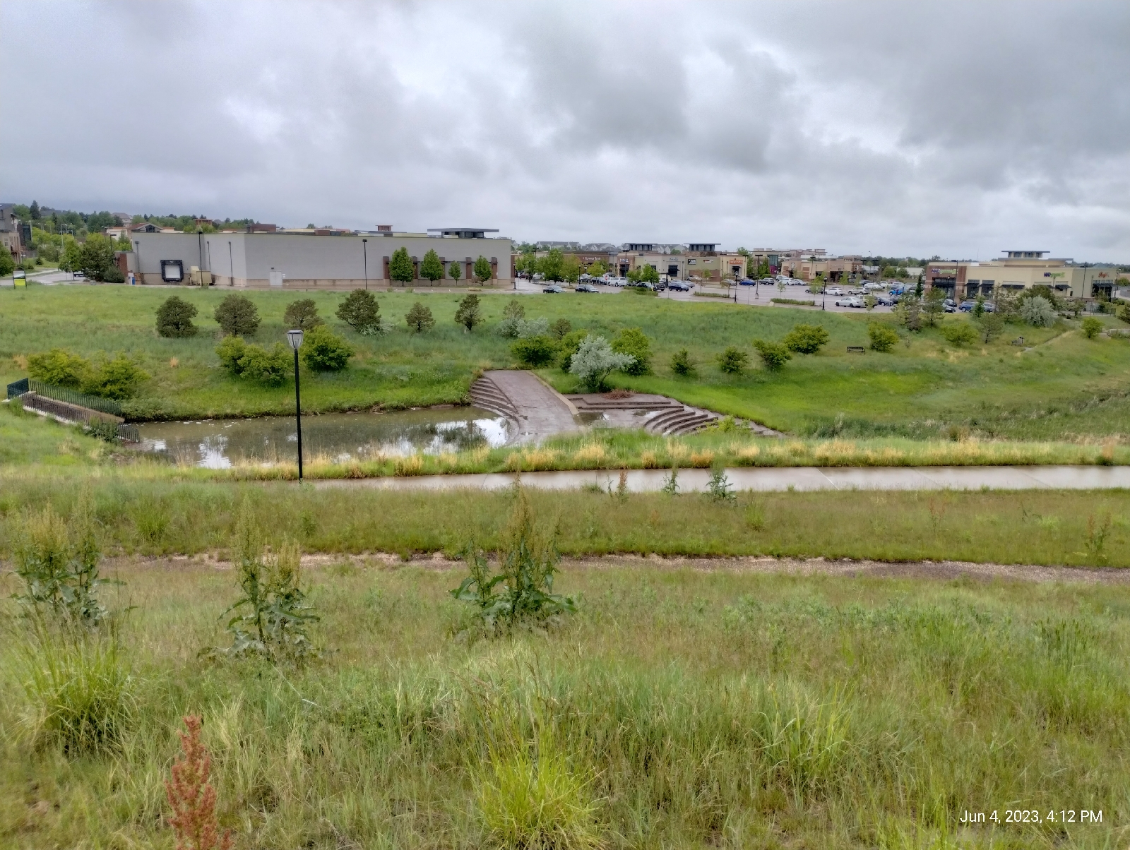
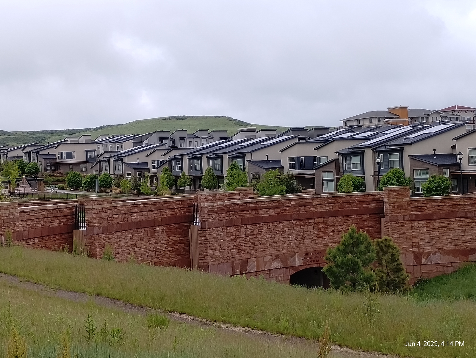
The approach trails to The Bluffs Regional Park from the east and north are through residential neighborhoods and parks. I chose Belvedere Park and Sky Prairie Park. They follow the newly sprung Willow Creek. Since I might be looking at Cherry Creek on the next series of hikes, I think I will be following Willow Creek as it turns west away from the light rail to Arapahoe Road. There are some interesting developments there.

The ascent follows a series of switchbacks up a cut formed by water flowing down to Willow Creek. The day was rainy so the otherwise breathtaking scenery was subdued. Normally the Denver skylines (including the Denver Tech Center), the plains, and the Rockies from Long's Peak to Pikes Peak are clearly visible.

I did get a change to see the geological profile while scaling the muddy trial. The Bluffs are a four layer cake. The layers are poorly consolidated conglomerates, thus the mud. Three, we've talked about several times before because they're the formations that underlie the Denver Metro area.

Willow Creek emerges from the lowest level, the Denver formation. It's a wetter aquifer so it has more flow generally than Little Dry Creek, which primarily springs from the upper Dawson aquifer and runoff from the Arapahoe and Yosemite Roads. Both the Arapahoe and Dawson formations are also present here as the next two layers.

The top layer is the interesting one. The Castle Rock conglomerate overlays most of Palmer Divide. The cobbles that make it up tend to be larger and more diverse. There is dark volcanic material from the tuff to the west, local sandstone and mudstone cobble, and that odd blue quartzite shown above. It's not from around here.

In fact, the only place that could have provided the blue quartzite to the mix is an area around Boulder near Eldorado Canyon. That's the only place it occurs as solid rock in the Front Range. Eldorado is almost fifty miles away. Something washed cobbles to boulder sized chucks of rock from the Eldorado Canyon area to Lone Tree, and that's how I know that a humongous flood hit the area soon after the Ingimbrite Flare-up. This stuff is found as a caprock all over Palmer Divide 

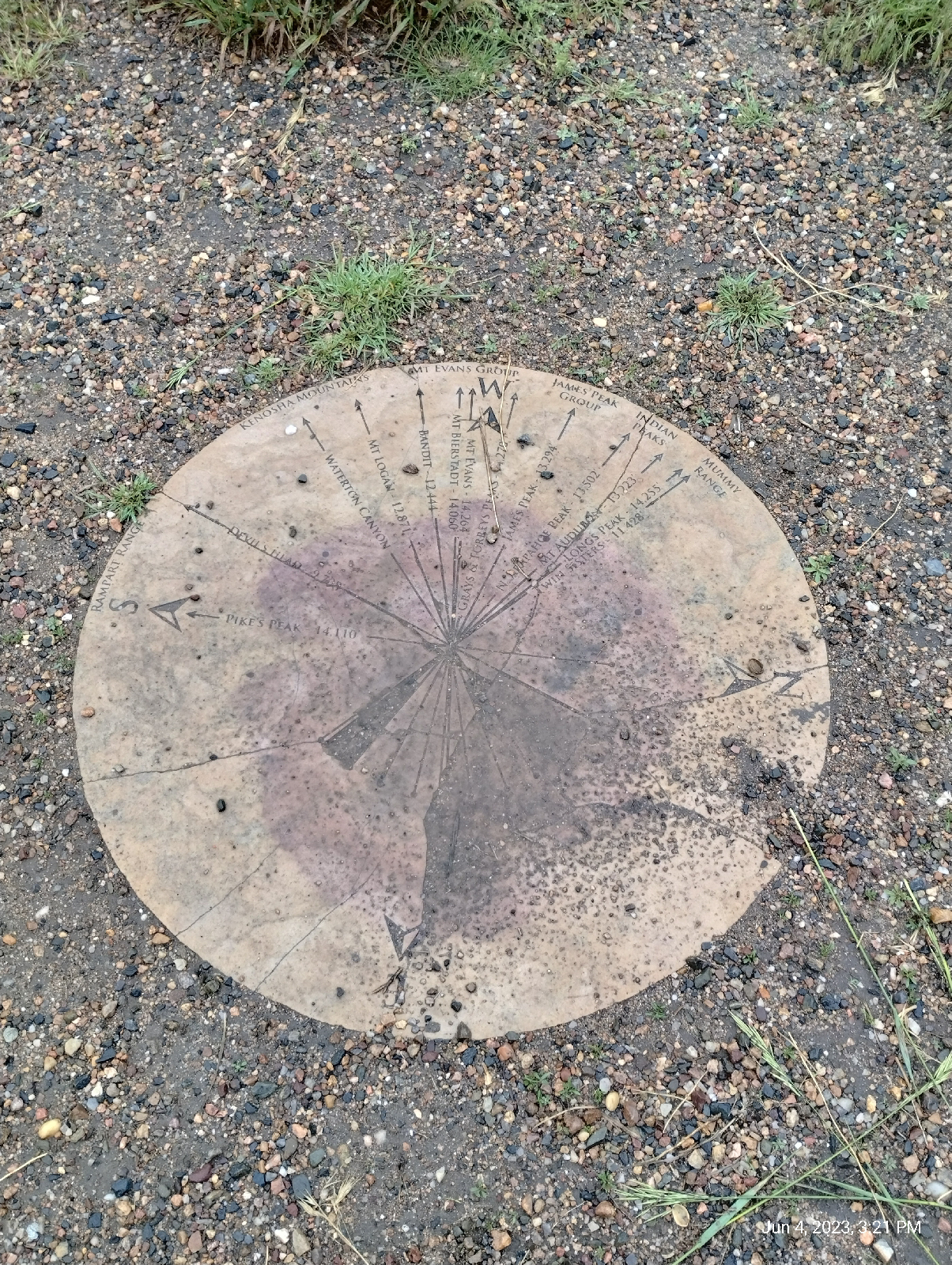
The high point of the Bluffs is Tepe Point. At 6380 feet elevation, it provides stunning views of the area. There's a stone marker (shown above) pointing out the major peaks visible from there. Here are some other photos of the area.


The stone ring at Tepe Overlook is a nice place to rest and maybe have a bite to eat before continuing an exploration of The Bluffs.

Back down in Lone Tree, I made my way along the streets to Sky Ridge Station. Nearby was a small park that afforded some nice views to the north. I don't know the name of the park but it's what we called down South a "peace park".
Off to the north, I could see this curious piece of art.

I used Google Lens to look it up and found that it is a product of Thornton Tomasetti engineering, who did a lot of the work on the Ball Arena. It's the Lincoln Avenue pedestrian bridge that provides safe passage across busy Lincoln Avenue (something to check out on my next few station-to-station hikes.) 

As usual, Sky Ridge Station has an art piece...

called "Willow", by Curtis Pittman, it is intended to evoke the spirit of the surrounding land, the prairie grasses and the mountain Aspen  I would imagine that Willow Creek figured into that, too.

The station serves Lone Tree and especially the Sky Ridge Medical Center, which is right at it's steps. Some of the images promote the area as a place of many possibilities.
Many of the developers' dreams don't seem to be working out. There's an ongoing battle to develop properties on the Bluffs and we'll look at the oddly named, and strangely empty, Lone Tree City Center next time.

Making it back to my neighborhood, I noticed that the recent rains had fattened Little Dry Creek 

The Bluffs get a lot of visitors but, compared to many of the sites around Denver, they're pretty much overlooked. Still, their beautiful vistas and fascinating geology make them a hidden gem. Are there any surprises waiting for you in your area?