The snowcap is Mount Blue Sky (formerly Mount Evans). The double peaked mountain in the foreground just to the right of the power pole is Mount Morrison. Red Rocks Park and Amphitheater is at the base of Mount Morrison. The view is from the train as it is pulling into Broadway Station.
On this trip, I'm going thataway. The low mountain in the foreground is Green Mountain. It's one of the foothills between the Rockies and the Colorado Piedmont, a pile of the stuff washed out of the Rocky Mountains and the Ancestral Rockies. Behind the Home Depot are the Table Mountains. That's the direction I'm going. No clouds, it should be a clear day for a short hike.
Olde Town Arvada is convenient on this route, so, being the milkshake fanatic that I am, I make a stop on the G Line before each hike to get a snack. In my wandering, I spotted this Catholic church, the Shrine of St. Anne's. The cornerstone was dedicated in 1920, making it a product of the "wild west".
Saint Anne was the mother of Mary, who was the mother of Jesus.
Clear Creek and Clear Creek Trail is just down the hill.
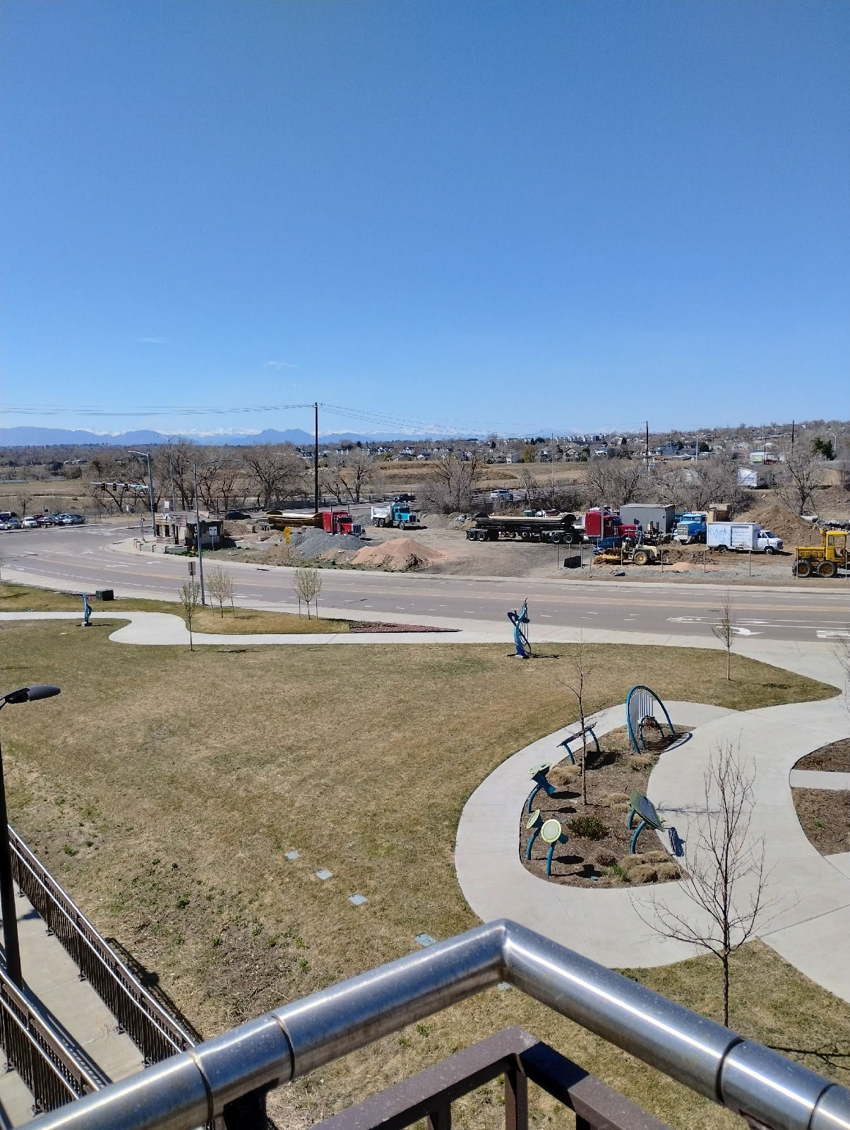
This leg of the G Line hikes is basically a walk around the perimeter of Martin-Marietta's asphalt plant, a little over two miles.
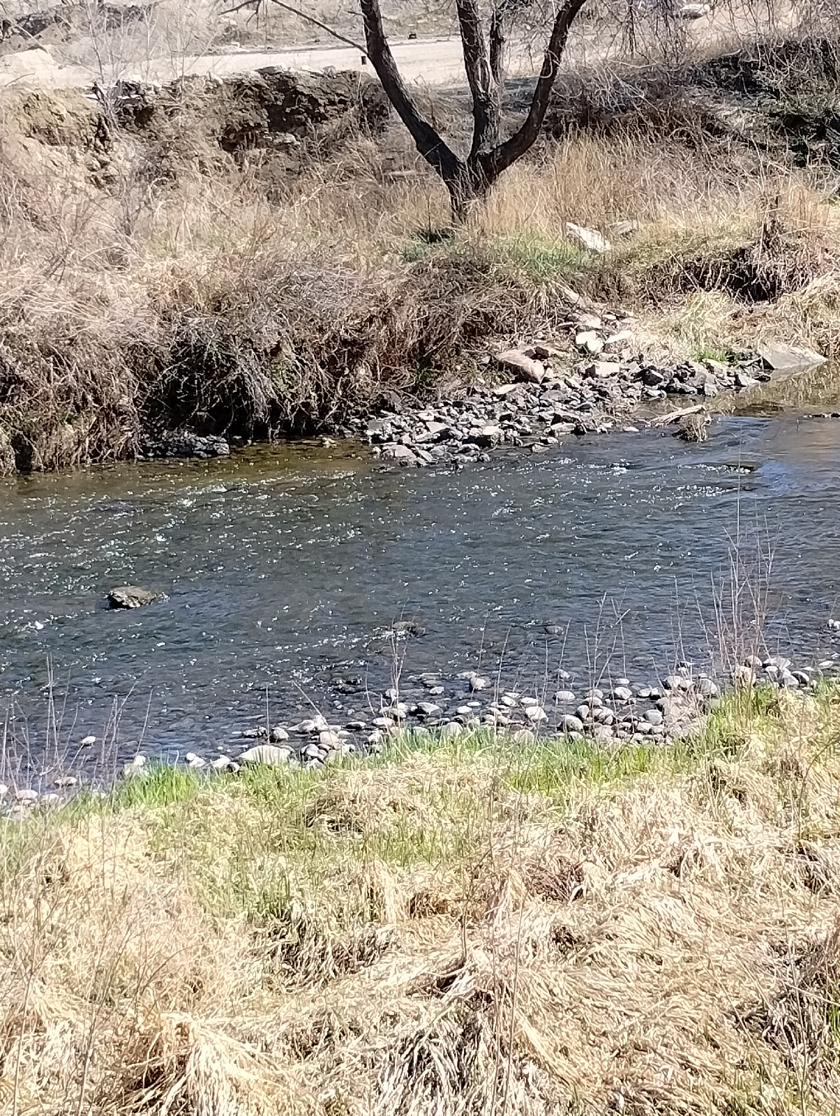
I had planned to take a sample of the sand from the Creek bed to look at, but it turned out to be black mud, so I changed my mind.
The huge piles of asphalt were too near. I have to credit Martin-Marrietta, though, the area didn't stink of asphalt so they must be taking some concern for the environment.
I'm sure you're familiar with asphalt. It's what they pave roads with. Asphalt, or bitumen, is a sticky, semisolid material that is either derived from petroleum (the heavy part left after the oil is refined) or is drawn directly from the ground. Bitumen mixed with clay, the material actually used to pave roads, is also called "asphalt". I don't know where this stuff in these pictures is from but the Pierre shales that surround the Denver Basin contain a lot of petroleum and there are many wells to the north and east.
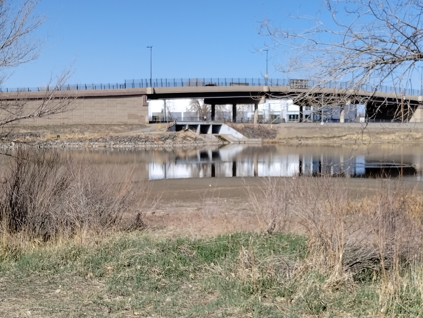
Another confluence...this is where Little Dry Creek joins Clear Creek. The actual confluence has been altered by an artificial pond. There are several such ponds between Arvada and Denver and they seem to be popular with anglers. I met several on this trip.
This Little Dry Creek isn't the same one that runs through my neighborhood but I have visited it before at the Westminster Station (Friday, June 21, 2019, Terminus: Westminster).
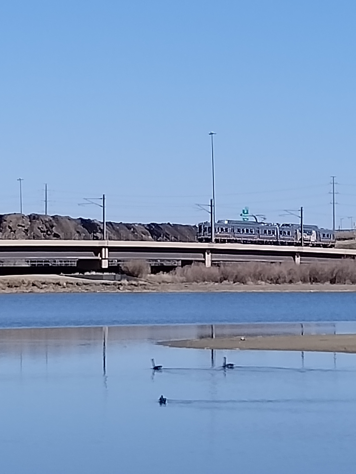
This isn't the horse I rode in on. It's traveling the B Line from Westminster Station to Pecos Junction. I'll hike that one after I finish the G Line.
Again, I have to commend Martin-Marrietta. The installation is very near Little Dry Creek Lake (pictured above) and the lake is popular with anglers and water fowl alike.
Clear Creek is a respectable stream here. I'll be separating from it after this hike because it heads north east away from the G Line, which takes a 90° turn south on it's approach to downtown and Union Station. I'll be following Pecos south to 38th Avenue,then east to Fox Street. That'll get me to Fox Station, and the following hike along Fox Street will take me to the end of the G Line at Union Station.
All of these station-to-station hikes have been above a geologic depression in the Earth's crust called the "Denver Basin". It's a geologic basin instead of a topologic basin because it doesn't show on the surface (or on topological maps). It's far underground buried beneath the Dawson, Arapahoe, and Denver formations.
As the Rocky Mountains began rising up, water was already tearing them down and the erosion products were washing out across the plains. Although it's sorta hard to picture it, over the millions of years between then and now, the rocks of the Earth's crust can bend and flow and squeeze like putty and it did here. As the Colorado Plateau rose, as in counterpoint, the land to the east buckled downward, and as debris piled up, the crust sank under the weight until a great bowl full of dirt, mud, gravel, and boulders formed and then they built Denver right on top. It's a long way down to hard rock...as far as 3900 meters (13000 feet).
If you enlarge the blue diamonds in the pictures above, you can see that Martin-Marrietta is proud of their commendations. NAPA is the National Asphalt Pavement Association and to quote their website the commendation is to "help asphalt mix producers and paving companies improve operations and safety as well as recognize employees and partners for a quality work." So I guess the Pecos Junction plant has something to be proud of.
Again, most of these stations provide good views of the mountains. Up to now, my only exposure to Pecos Junction Station is from the train and the platform is tucked away beneath highway overpasses. It's an important station in that it provides a switching site between the G and B Lines but it's not very scenic being situated in an industrial area
The parking area is up top with a long, covered pedestrian walkway leading to elevators and stairs down to the platform (always gotta be one last obstacle at the end of a hike!)
The mural on the platform is a piece by Bimmer Torres called "Roots Crossing". It illustrates a primary issue in the area... transportation.
And there I was set to utilitize that very thing and go back home.
I have mixed emotions about industry but I can't readily dismiss it. Our modern world depends on it. What are the industries in your area? How do they fit into your world?


No comments:
Post a Comment