My home study range, Walnut Hills, Centennial, Colorado is situated around two valleys, Little Dry Creek and Willow Creek. They merge a little to the west and finally join the South Platte River in Englewood. Little Dry Creek begins less than a mile to the East at a spring from the Dawson aquifer discussed here:
http://adventuringbcc.blogspot.com/2022/02/expedition-dry-run.html
Like many high desert aquifers, this one isn't very productive and most of the water in these streams are from runoff.
The shape of the valleys is typical, a shallow "V" with a sharp bank at the streams. Particularly, they're typical of streams that cut through relatively soft group. When streams cut through hard rock, they tend to form canyons with high, steep sides.

A small nameless but persistent stream arises from underground (I think this is the first sunlight that touches it) to join Little Dry Creek. If you read the discussion about confluences in the last blog, this arrangement will be familiar. The smaller stream joins downstream at an angle with a delta between.

This is a relatively energetic stream, being on the slope of the much larger and steeper South Platte River Valley. Since people live along the stream, erosion is a concern, so these weir dams are placed along the stream bed to expend some of the energy built up by the water pulled down by gravity.
Energy is the capacity to do work, in the case of the creek, to wear away the ground under it, so it can be thought of as the force it exerts over a period of time, and force is the mass of the moving material (water) times it's acceleration (which increases as it moves downward in response to gravity.) The weir dam just slows the water down momentarily.


Valleys grow outward as well as downward, otherwise all valleys would have vertical walls. The photographs above show the Little Dry Creek Valley growing. It's called "gravity slump".
All the ground around a stream is on a slope and, therefore, gravity is pulling it down. The ground further away from the creek is moving so slowly that you can't see it but there's plenty of time is geology for it all to finally make it's way down to the water to be swept away. Cycles of freezing and thawing, and rain helps to loosen up the soil.
But slump is most evident at the creek bank. Here sheets of dirt sheer off and slide into the stream.
Keep in mind that the confluence of Little Dry Creek and Willow Creek is also moving upstream, eating away at the valley. And this part, where the slope increases...

That used to be further west. At one time the creek flowed over that ridge. There might have been a cascade, or even a waterfall, but it ate away at the ridge moving it back until the steep section is where it is today.
Water moves faster and erodes more quickly on a steep slope so the slope moves upstream. Waterfalls and cascades move, and as they do, they eat away at the walls of their canyon or valley
Before the Rockies were there to the west, what is now the Colorado highlands were lowlands. There was a while different set of mountains there before that. We call them the Ancestral Rocky Mountains. They were worn down by erosion and the present day 14,000 foot mountains will one day be worn down to plains as all their bulk is washed down to the ocean.
And, maybe, the continued grinding force of the Pacific plate against North America will push up another Colorado Plateau to be again sculpted into another Rock Mountain range

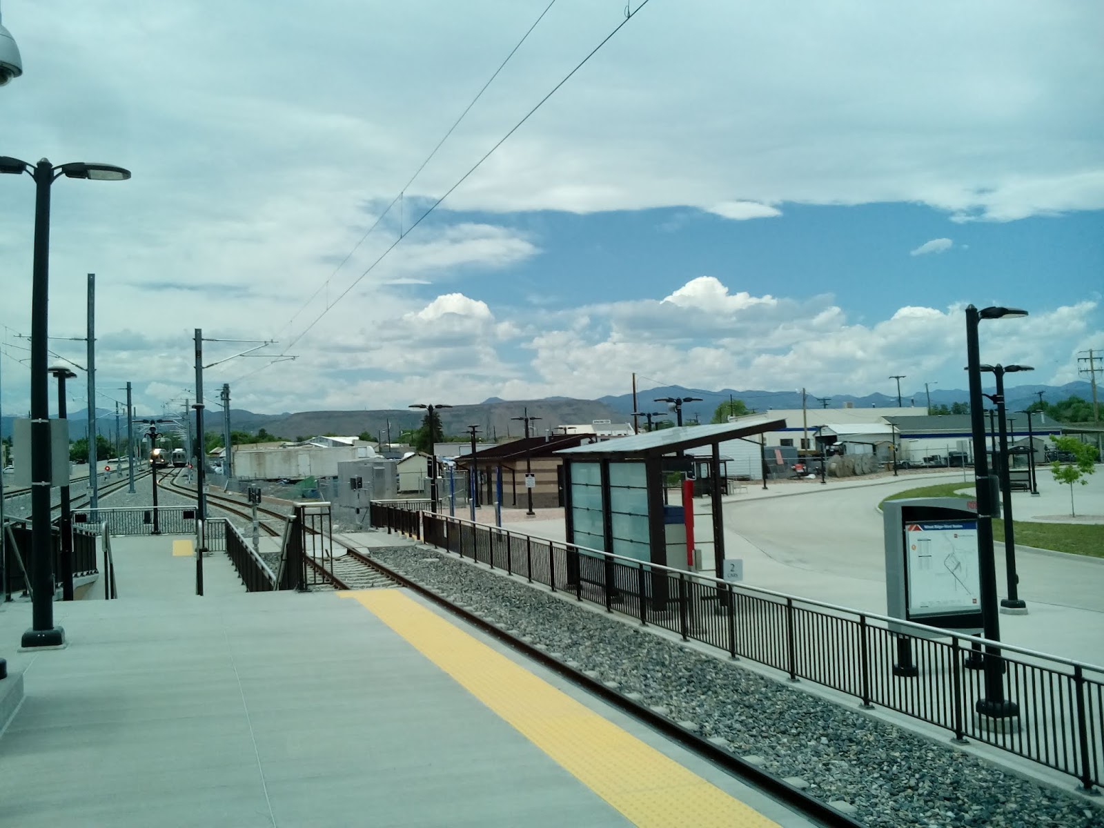
There was a short stretch of the RTD light rail in downtown Denver that I had not hiked so my housemate, Fox, and I took a train down to the Denver Convention Center and walked back to the Auraria Station. Part of the trip was to visit a gallery in the Convention Center.
Here, artists Kirk Johnson and Jan Vriesen have created interpretations of how Colorado looked over the last 500 million years. The painting feature places that, today, have names. For instance, about 64 million years ago, a volcano erupted in what is today Golden, Colorado, belching out lava flows which, today, can be seen as North and South Table Mountains. Here's Mr. Vriesen's idea of what the event might have looked like.

Along with the ten paintings, there are interpretive plaques explaining them and one for the whole exhibition.

Not only is this a valuable and informative art exhibit but it's also a useful resource for people interested in exploring the geology of Colorado. All ten sites can be visited today.
When I visit an area, I like to sit somewhere and try to visualize what it has looked like in the recent and distant past. That requires some research beforehand. Many states have online encyclopedias. I know that Alabama has an extensive website that provides lots of information about the State, including history, culture, tourism, and geology. You might want to search for "(your state) encyclopedia " to see if your state does. If not, you can find plenty of information in the Wikipedia online encyclopedia.