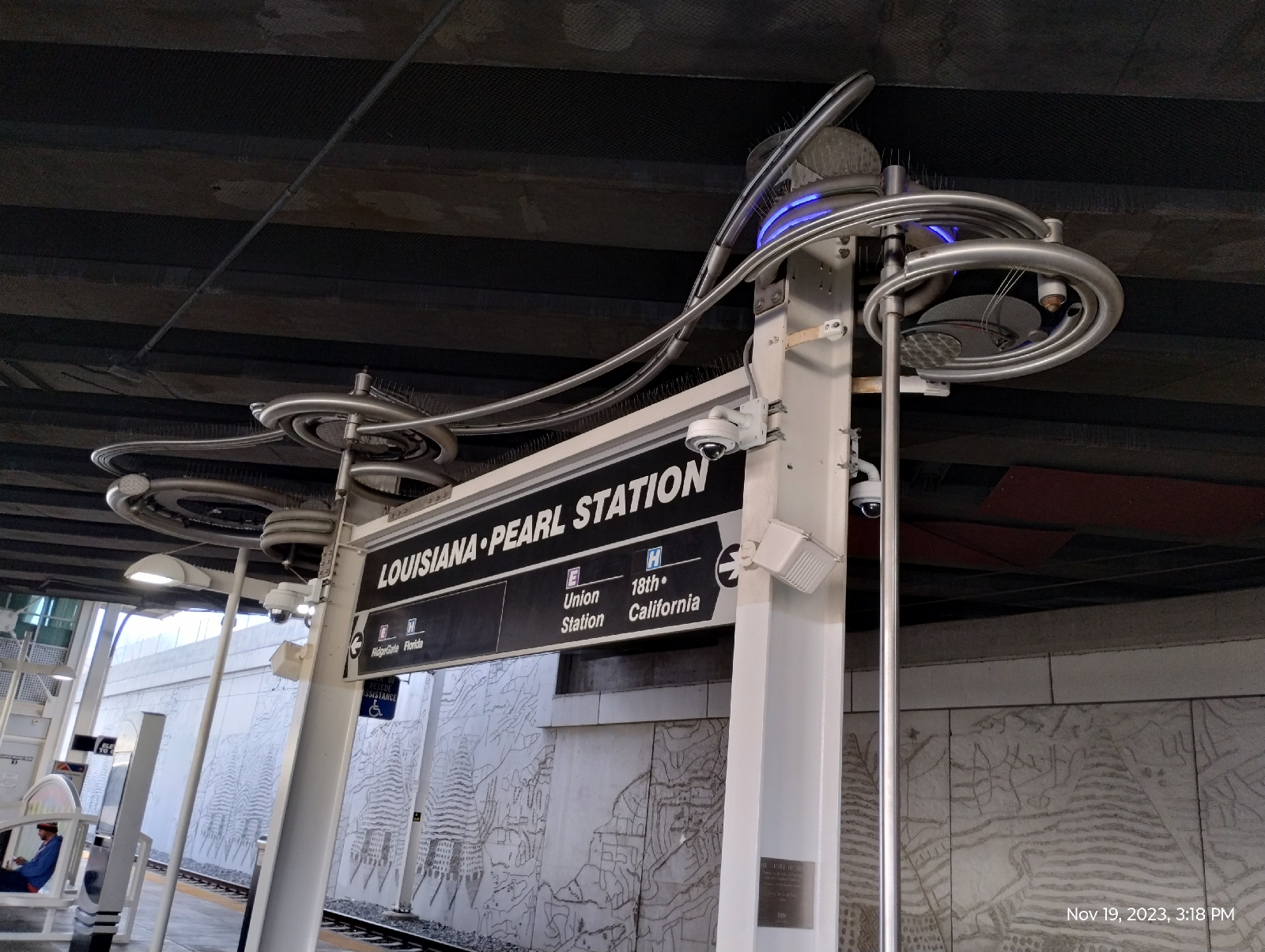
Back at Louisiana-Pearl Station, I wasn't waiting for a train this time so I had time to play with the Strange Machine. The plaque explains that it is a homage to the guru of tubology and tube bending technology. The afore mentioned guru is the sculptor, Ira Sherman's mentor, Ron Strange.
The Strange Machine is a 3,500 pound kinetic structure that can be set in motion by turning a steel orb. The orb doesn't go 'round and 'round, but back and forth. It takes a little umph but it does work.
After convincing myself that the mass of tubes and neon actually does move, I headed to street level to follow the E and F lines to my final destination (for the time being) in the station-to-station hikes. I've hiked from Watertown Canyon to Union Station and beyond, through downtown Denver and Five Points, Golden to Auraria West, Wheat Ridge and Westminster to Union Station, and around all the light rail terminals, plus Boulder. After this hike, I will give the light rail a rest and change channel....the next channel being Cherry Creek. There's something that likes (to paraphrase Robert Frost) following a large stream from beginning to end
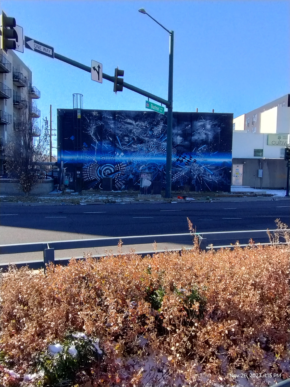
There are very few places in Denver that is far from murals. This one is across the street from the light rail station. It's called "Furtherrr" and is by the trio, Mars-1, Damon Soule, and Oliver Vernon. It's an interesting piece in that it's hard to focus on any particular part of it.
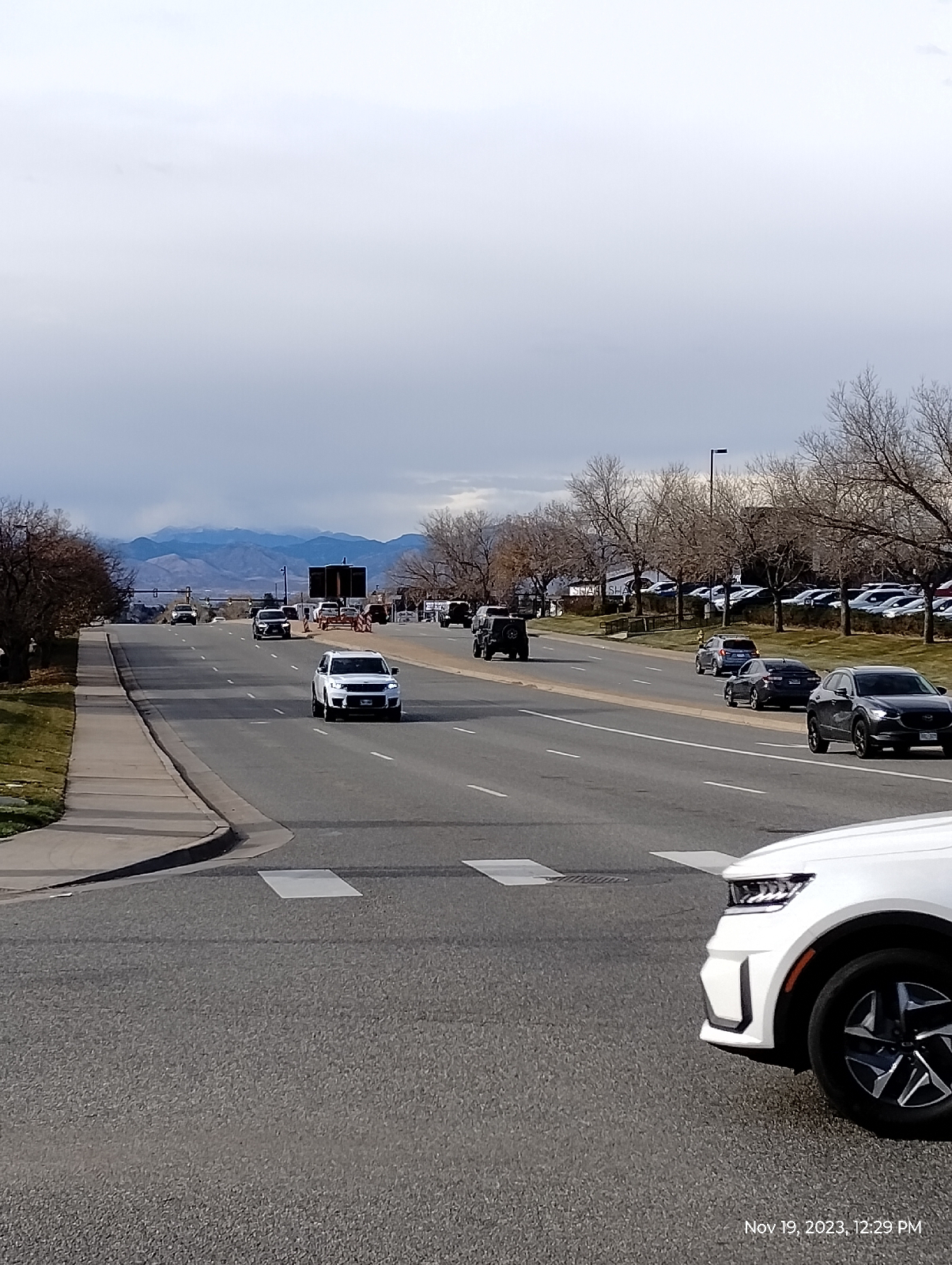
This is the requisite shot of the Rockies for this hike. Just a little further, Interstate 25 converges on Broadway and the light rail at Broadway Station. That's Long's Peak in the distance.
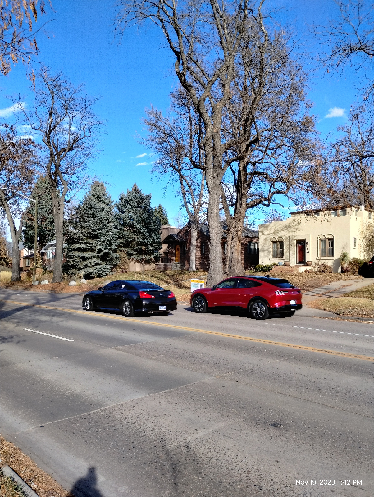
Near Broadway Station, Broadway is mostly high rise apartments but it's a major north-south thoroughfare through Denver with a lot of interesting spots such as the Gothic Theater, the Brutal Poodle restaurant, Denver Biscuit Company, the Wizard's Chest, a lot of museums, Civic Park, and Natural Paws (the pet store where I usually shop for Vincent's treats and food.)
I-25 and Broadway Station is a major hub in Denver's light rail system. Lines from the southeast and southwest Denver Metropolitan area converge there with lines to downtown Denver. In addition, it's only a block away from Santa Fe Boulevard and Broadway and the parking lot has four bus gates. Also, it has one of the best panoramic views of the Rockies and the foothills in Denver.
The Pedestrian Bridge to Nowhere...one end is on a fenced in construction area and the other just hangs in mid air. It's been there for a few months. I guess it might one day join the lot next to Broadway Station to Santa Fe. That would be nice, but, for now, we can make jokes about The Pedestrian Bridge to Nowhere.
So ends my tour of the western lines of Denver's Regional Transportation District light rail. I've seen cool things that I would not have seen had I not been on foot...met cool people.
I'm not sure what I'm going to do with the eastern lines. Many of the stations are too far apart and embedded in industrial areas to provide very satisfying hikes. I'm thinking that I might want to tour the individual stations and hike between selected pairs of stations. The lines in question connect Thornton to Denver and form a loop with the E and F lines out into the plains and to the Denver International Airport.
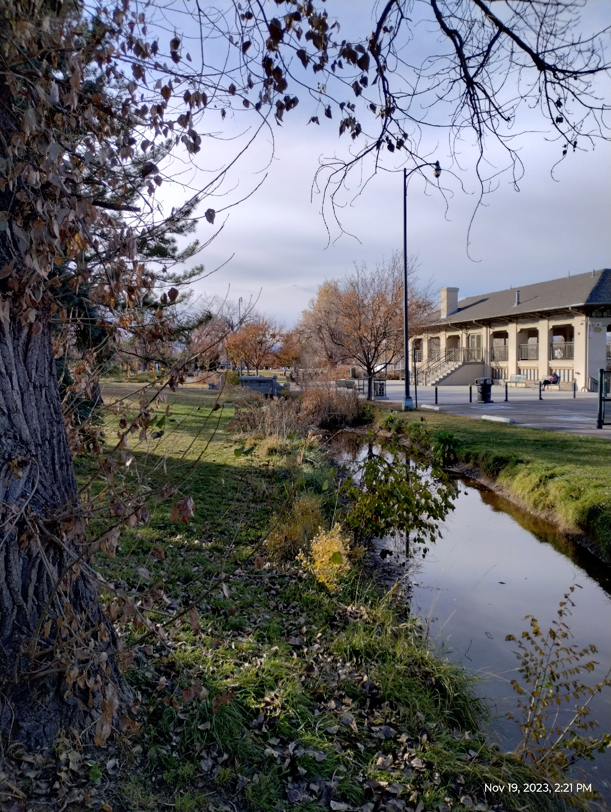
But my next adventure will be to follow Cherry Creek (in sections) from it's confluence with the South Platte River in downtown Denver to it's origin near Castle Rock. It's a large geologically and historically interesting valley.
There's something that likes following a large stream from beginning to end. Join me.


