Monday, April 17, 2023

Clear Creek Station to Pecos Junction Station

A nice thing about train rides to hikes in Denver is that the stations are often situated to provide good vistas of where you're going.

The snowcap is Mount Blue Sky (formerly Mount Evans). The double peaked mountain in the foreground just to the right of the power pole is Mount Morrison. Red Rocks Park and Amphitheater is at the base of Mount Morrison. The view is from the train as it is pulling into Broadway Station.

 
On this trip, I'm going thataway. The low mountain in the foreground is Green Mountain. It's one of the foothills between the Rockies and the Colorado Piedmont, a pile of the stuff washed out of the Rocky Mountains and the Ancestral Rockies. Behind the Home Depot are the Table Mountains. That's the direction I'm going. No clouds, it should be a clear day for a short hike.


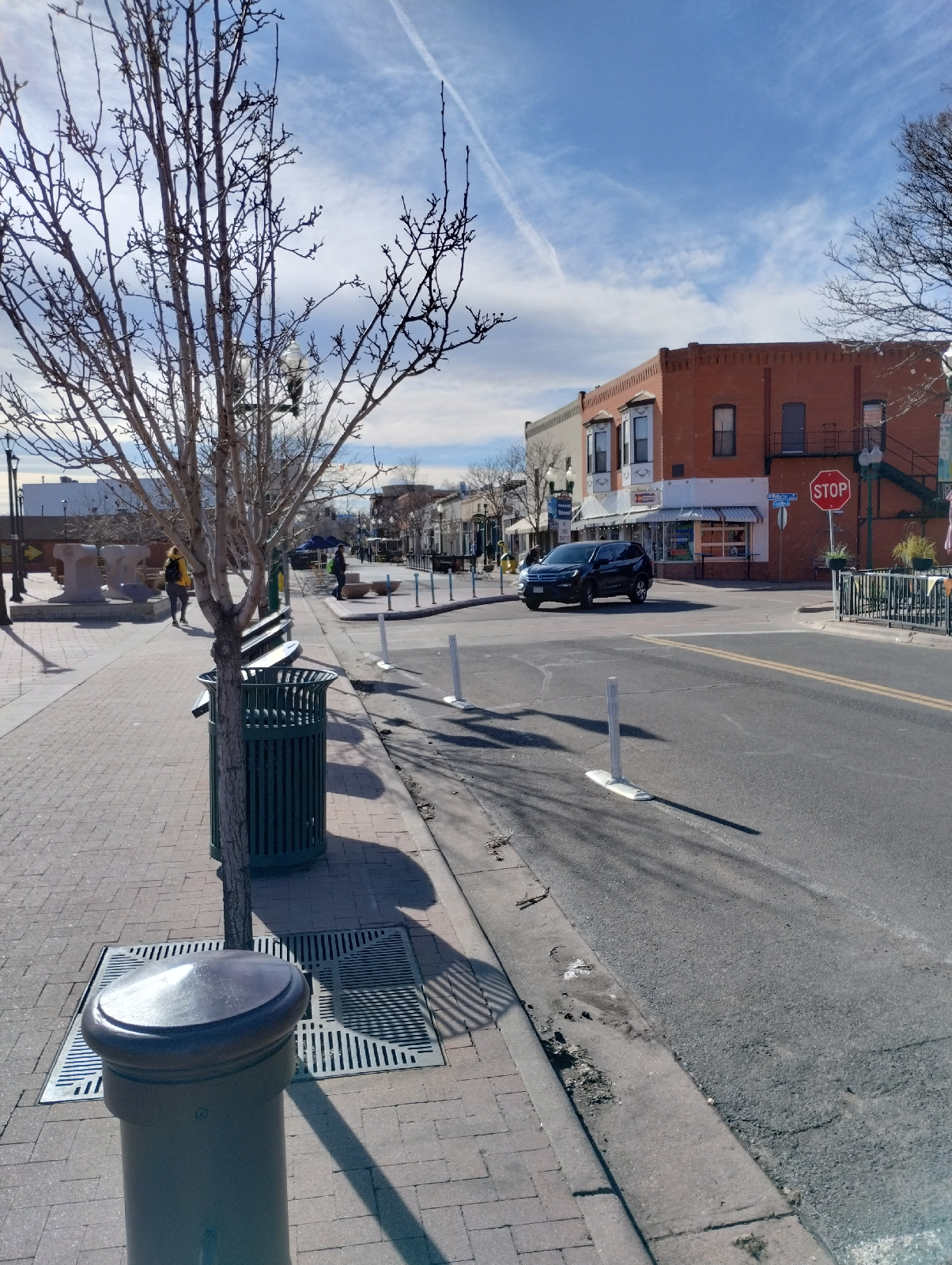
Olde Town Arvada is convenient on this route, so, being the milkshake fanatic that I am, I make a stop on the G Line before each hike to get a snack. In my wandering, I spotted this Catholic church, the Shrine of St. Anne's. The cornerstone was dedicated in 1920, making it a product of the "wild west". 

Saint Anne was the mother of Mary, who was the mother of Jesus.

After Olde Town, I reboarded the train and headed for Clear Creek Station. 

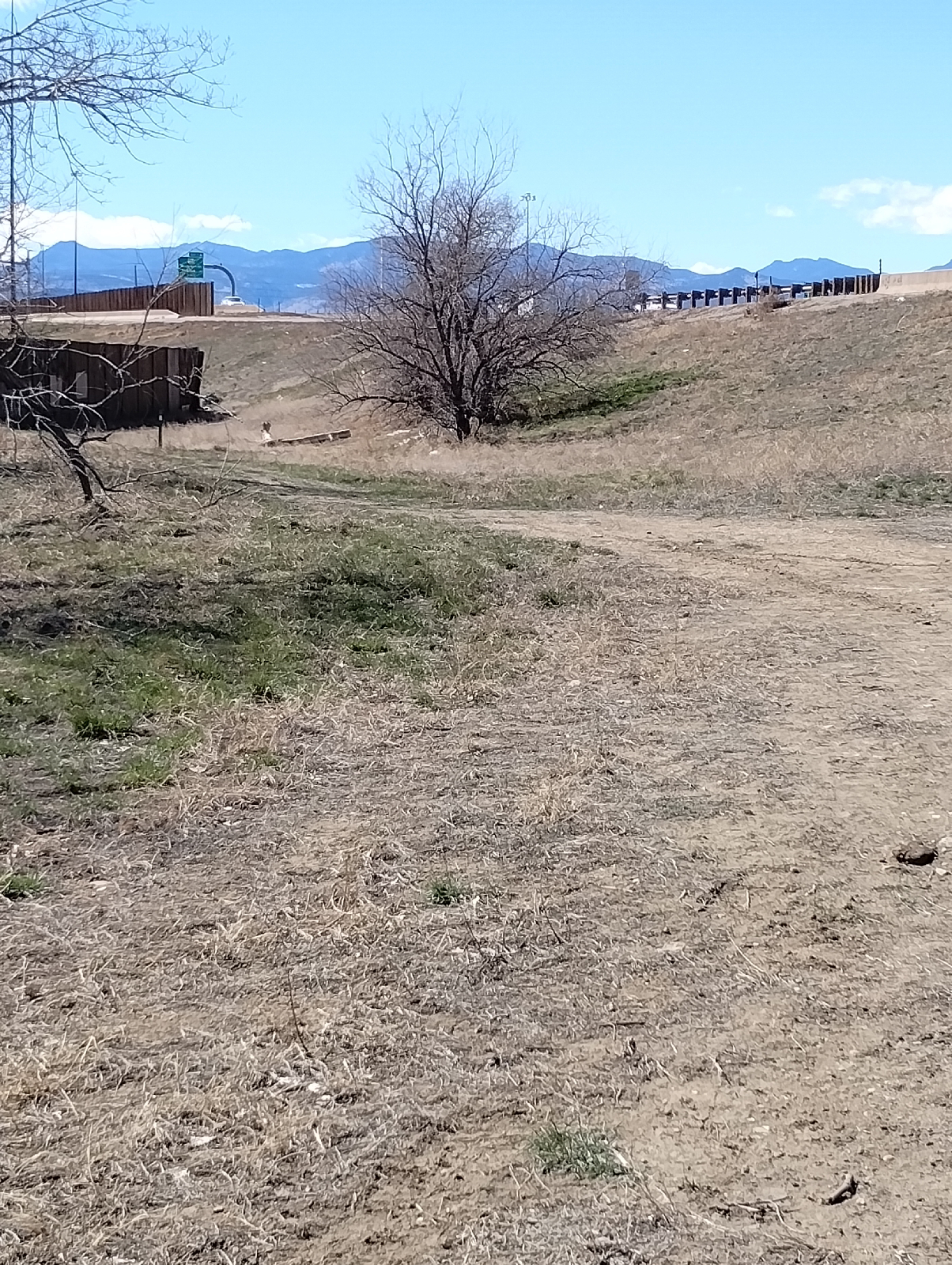
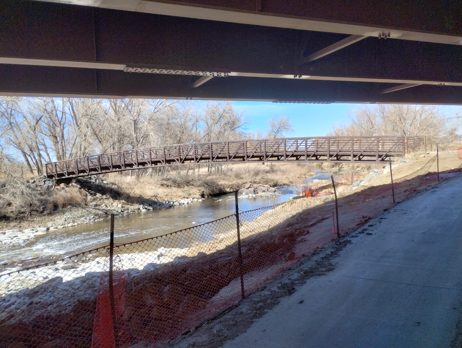
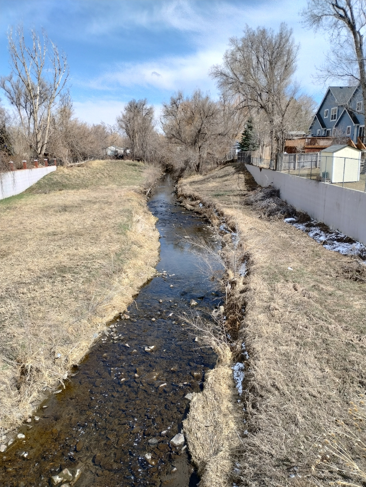
Clear Creek and Clear Creek Trail is just down the hill. 

This leg of the G Line hikes is basically a walk around the perimeter of Martin-Marietta's asphalt plant, a little over two miles. 

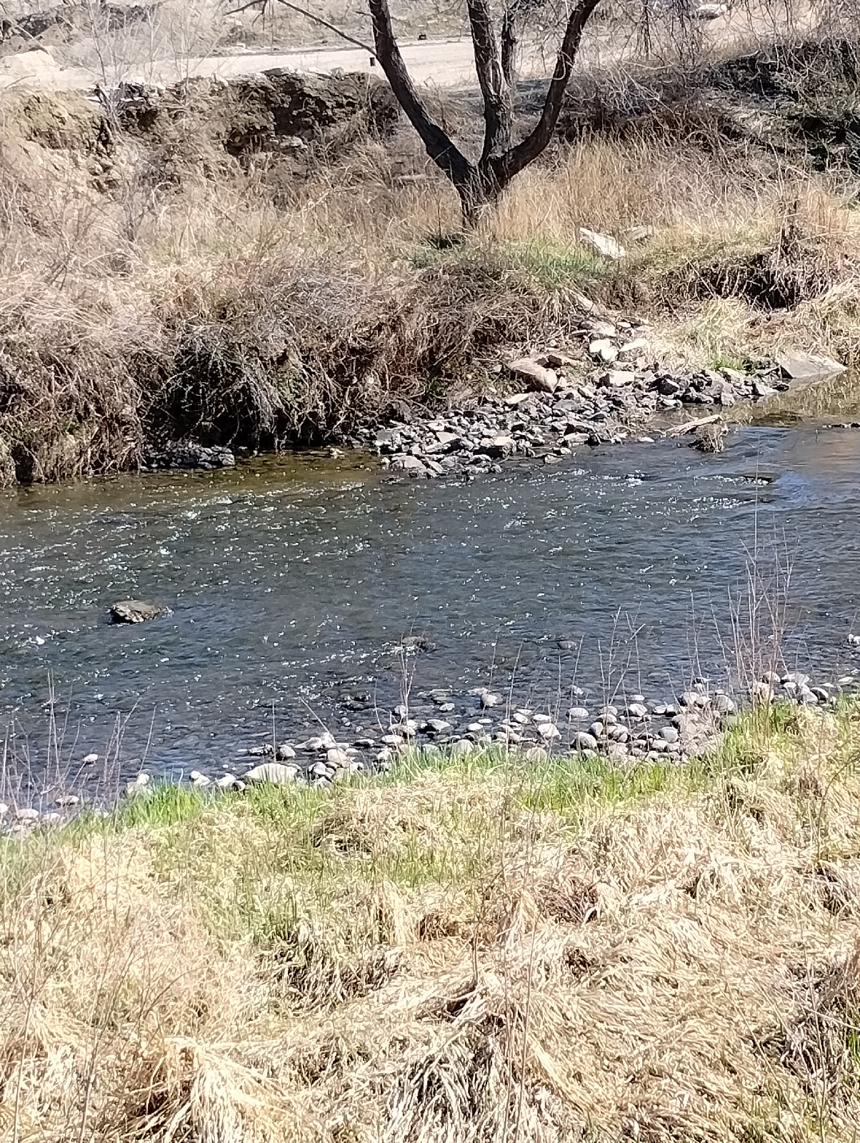
I had planned to take a sample of the sand from the Creek bed to look at, but it turned out to be black mud, so I changed my mind.

 The huge piles of asphalt were too near. I have to credit Martin-Marrietta, though, the area didn't stink of asphalt so they must be taking some concern for the environment.

I'm sure you're familiar with asphalt. It's what they pave roads with. Asphalt, or bitumen, is a sticky, semisolid material that is either derived from petroleum (the heavy part left after the oil is refined) or is drawn directly from the ground. Bitumen mixed with clay, the material actually used to pave roads, is also called "asphalt". I don't know where this stuff in these pictures is from but the Pierre shales that surround the Denver Basin contain a lot of petroleum and there are many wells to the north and east.

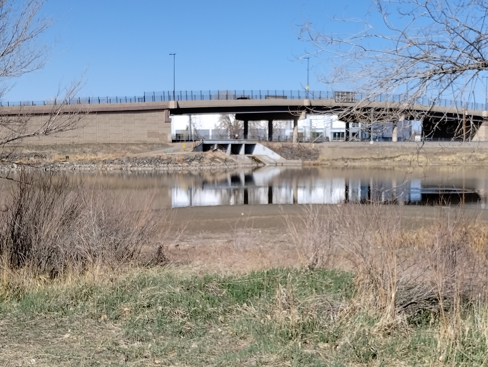
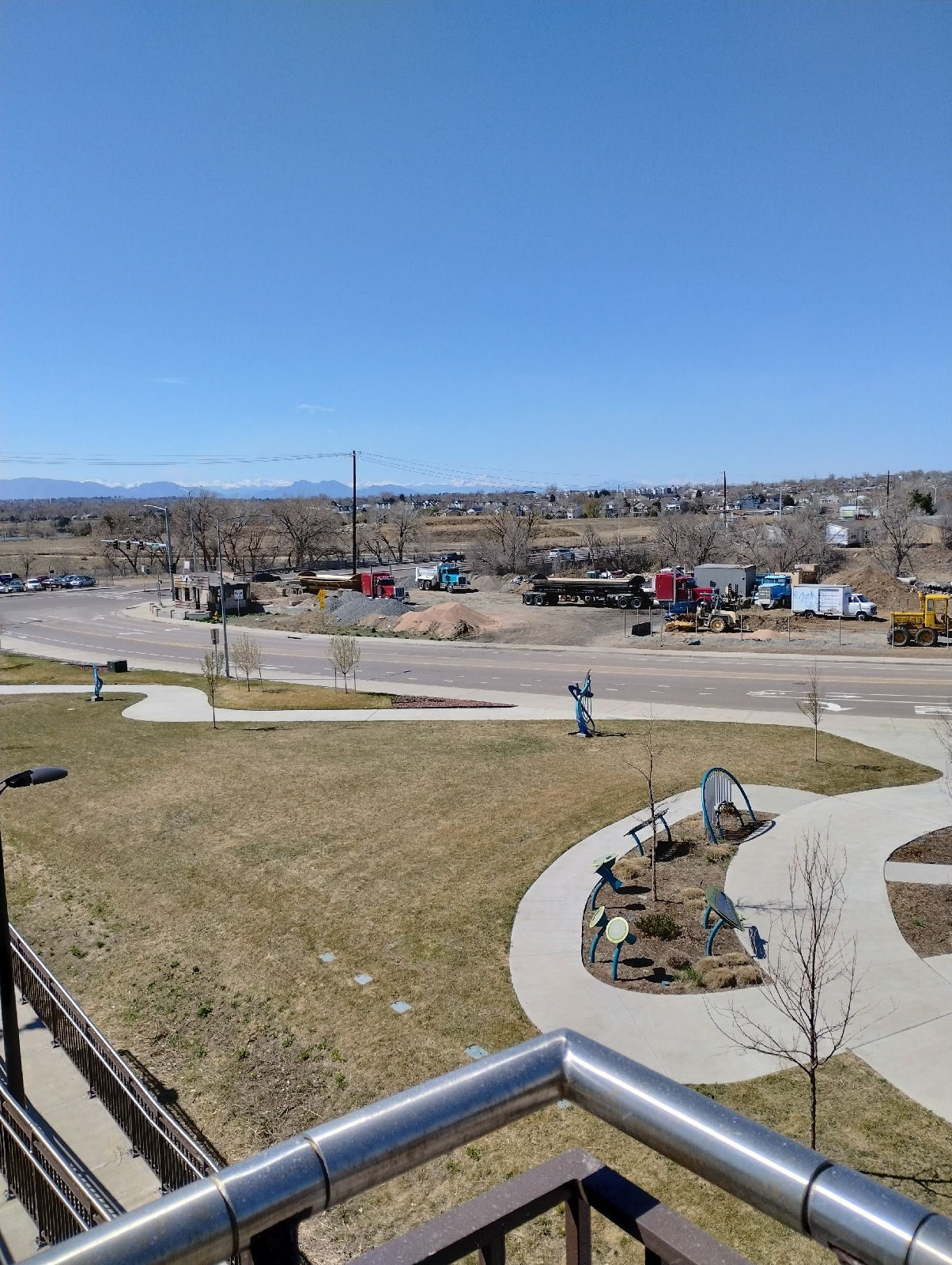
Another confluence...this is where Little Dry Creek joins Clear Creek. The actual confluence has been altered by an artificial pond. There are several such ponds between Arvada and Denver and they seem to be popular with anglers. I met several on this trip.

This Little Dry Creek isn't the same one that runs through my neighborhood but I have visited it before at the Westminster Station (Friday, June 21, 2019, Terminus: Westminster).

This isn't the horse I rode in on. It's traveling the B Line from Westminster Station to Pecos Junction. I'll hike that one after I finish the G Line.

Again, I have to commend Martin-Marrietta. The installation is very near Little Dry Creek Lake (pictured above) and the lake is popular with anglers and water fowl alike.

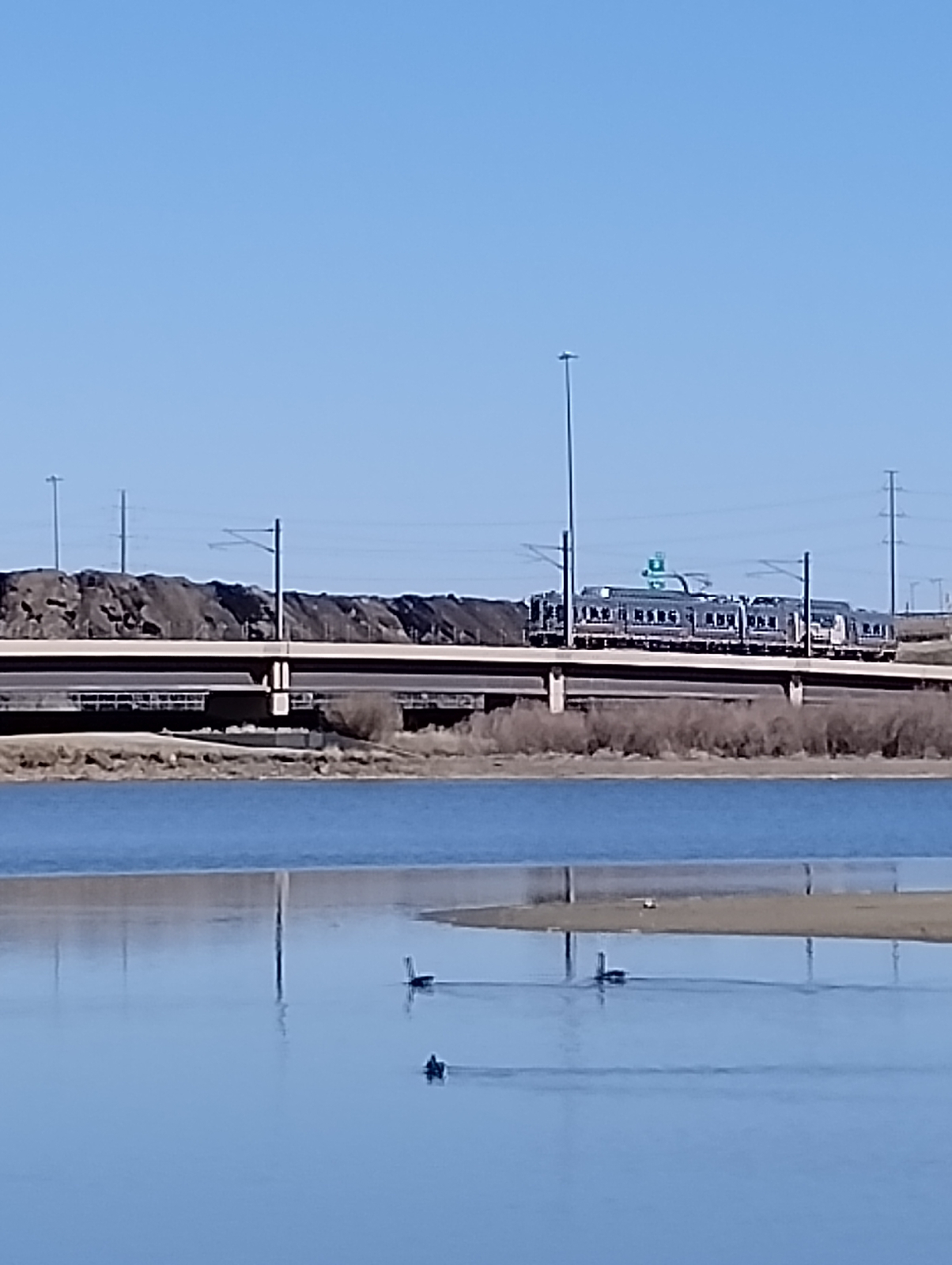
Clear Creek is a respectable stream here. I'll be separating from it after this hike because it heads north east away from the G Line, which takes a 90° turn south on it's approach to downtown and Union Station. I'll be following Pecos south to 38th Avenue,then east to Fox Street. That'll get me to Fox Station, and the following hike along Fox Street will take me to the end of the G Line at Union Station.

All of these station-to-station hikes have been above a geologic depression in the Earth's crust called the "Denver Basin". It's a geologic basin instead of a topologic basin because it doesn't show on the surface (or on topological maps). It's far underground buried beneath the Dawson, Arapahoe, and Denver formations.

As the Rocky Mountains began rising up, water was already tearing them down and the erosion products were washing out across the plains. Although it's sorta hard to picture it, over the millions of years between then and now, the rocks of the Earth's crust can bend and flow and squeeze like putty and it did here. As the Colorado Plateau rose, as in counterpoint, the land to the east buckled downward, and as debris piled up, the crust sank under the weight until a great bowl full of dirt, mud, gravel, and boulders formed and then they built Denver right on top. It's a long way down to hard rock...as far as 3900 meters (13000 feet).

If you enlarge the blue diamonds in the pictures above, you can see that Martin-Marrietta is proud of their commendations. NAPA is the National Asphalt Pavement Association and to quote their website the commendation is to "help asphalt mix producers and paving companies improve operations and safety as well as recognize employees and partners for a quality work." So I guess the Pecos Junction plant has something to be proud of.

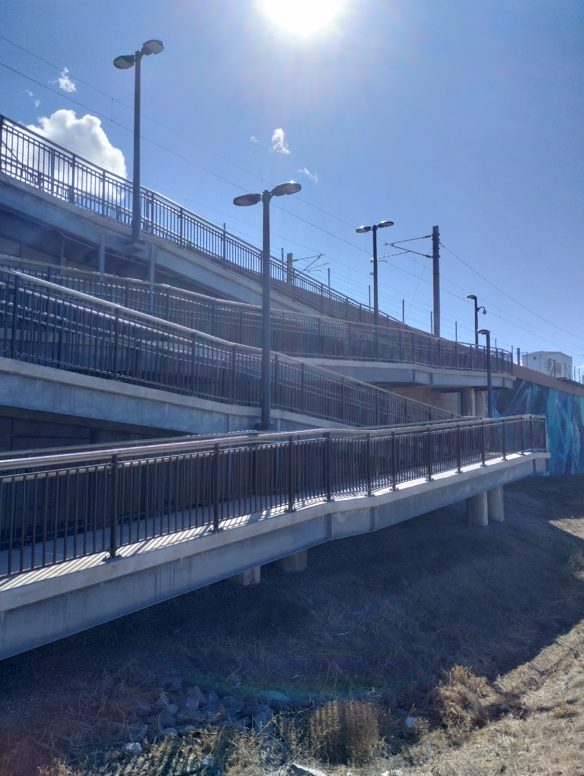
Again, most of these stations provide good views of the mountains. Up to now, my only exposure to Pecos Junction Station is from the train and the platform is tucked away beneath highway overpasses. It's an important station in that it provides a switching site between the G and B Lines but it's not very scenic being situated in an industrial area 

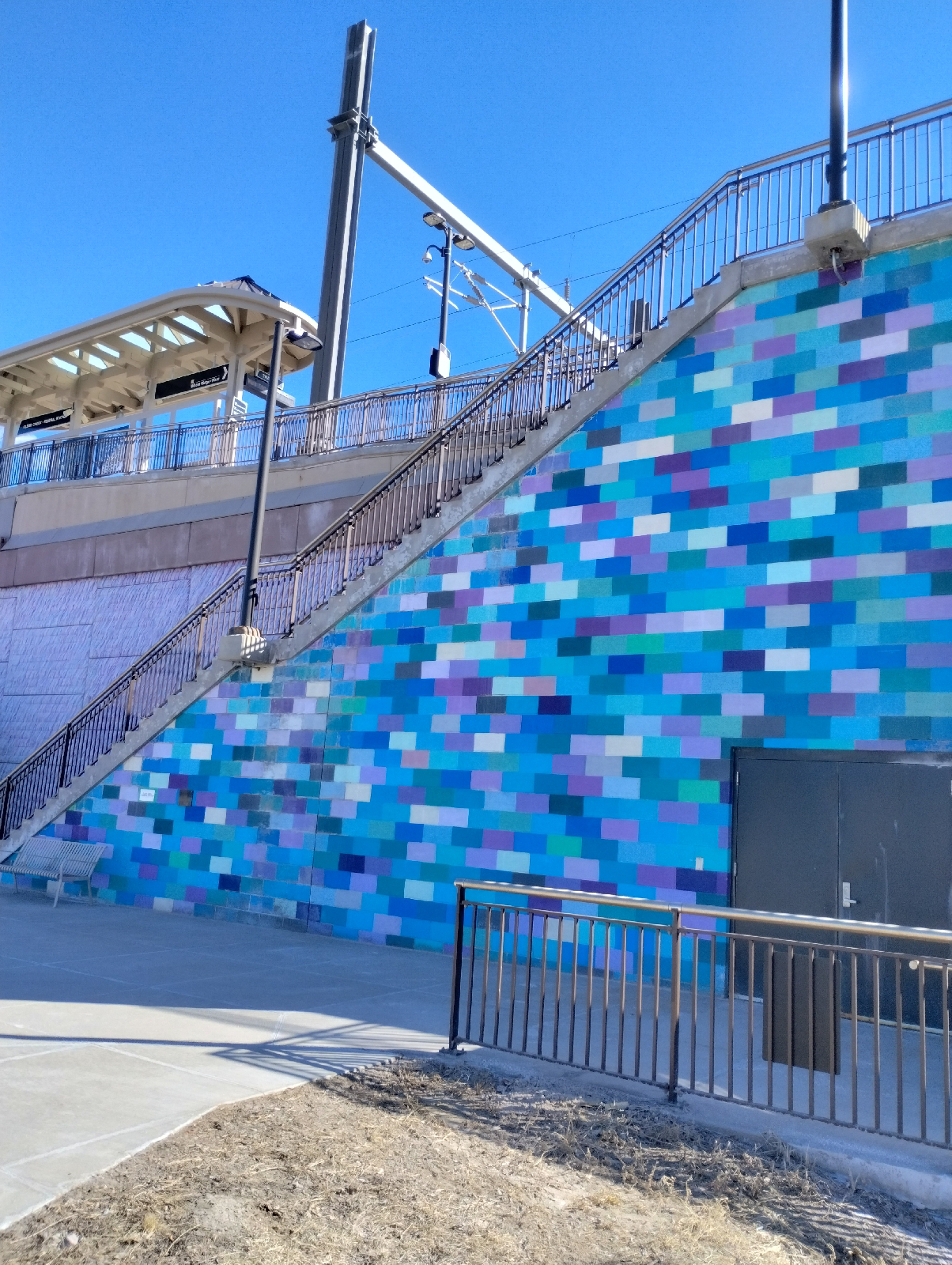
The parking area is up top with a long, covered pedestrian walkway leading to elevators and stairs down to the platform (always gotta be one last obstacle at the end of a hike!)

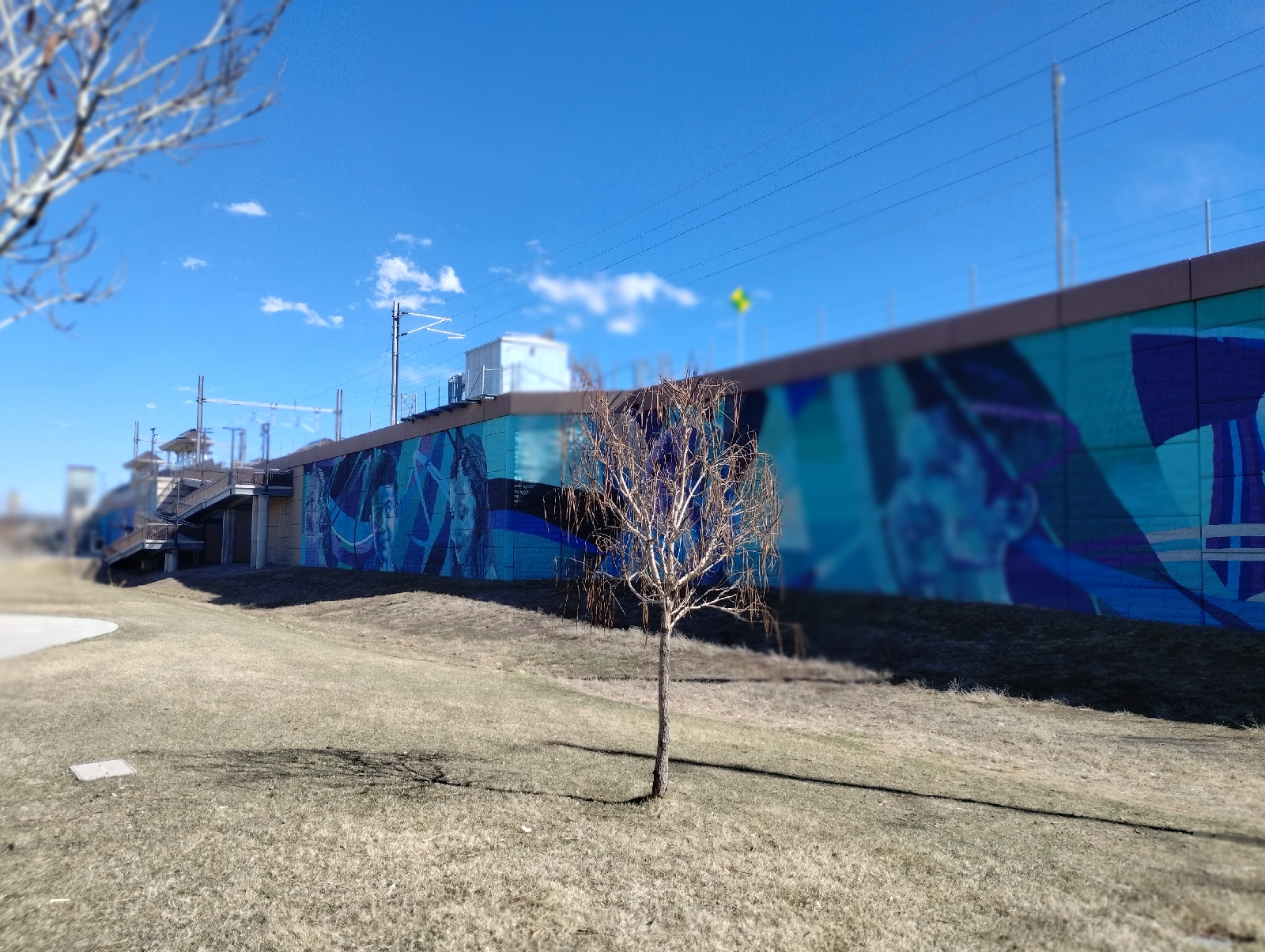
The mural on the platform is a piece by Bimmer Torres called "Roots Crossing". It illustrates a primary issue in the area... transportation.

And there I was set to utilitize that very thing and go back home.

I have mixed emotions about industry but I can't readily dismiss it. Our modern world depends on it. What are the industries in your area? How do they fit into your world?

Thursday, April 6, 2023

Arvada Gold Strike Station to Clear Creek Station


Here I am back at Gold Strike Park. In addition to historical information about placier mining in the area, the park features a really cool single-mast cable- stayed bridge. Somewhat smaller than the Millennium Bridge in downtown Denver, the principle is the same. Cables from a single pole suspend the trail bed.
The Rolston Creek Trail crosses Clear Creek here to join the Clear Creek Trail. I went straight on Clear Creek Trail against the direction I came from Arvada and realized I was going the wrong direction. First, the mountains were ahead of me and I should have been heading away from them. Also, the creek was flowing in the opposite direction from my bearing. But I did get to see two people panning for gold.

Placier methods like panning rely on the fact that gold is heavier than almost anything else you might find in a stream bed. The density of gold is around 19.3 grams per cubic centimeter. Sand tends around 1.63 grams per cubic centimeter. Gold will sink right through sand. To pan, you squat down on the bank of a creek (which is why I don't do it. My knees won't tolerate that any more.) and scoop a little sand and water from the bed into a prospector's pan (it looks a lot like a hub cap.) Swirling the contents around allow the heavier material to settle. You can pick the larger chunks of rock out first so you can see what you're doing. Some other stuff might look like the gold you're searching for. Pyrite and some kinds of mica can imitate gold but they're brittle and, while gold gets shinier when wet, pyrite and mica get duller. It takes some skill and a lot of patience to sift through the sand. Gold occurs as nuggets, grains and dust...usually dust, so a dropper is useful for sucking up the tiny particles. Sometimes, you can pan gold out of the sand from the bank of the creek, so a garden trowel can also be useful. 

I didn't ask if they were having any luck. They looked tired.

Many tributaries have swelled Clear Creek by the time it has reached Arvada.

Clear Creek Trail runs along Interstate 76, so most of the scenery is like this with considerable background noise from the constant traffic. Still, it seems popular with bikers and joggers 

But the Rockies are an ever present backdrop to the west.

Ducks seem to like Clear Creek alright.
This single span bridge across Clear Creek uses an arch in the trail bed to keep it steady. In order to buckle, the bed would have to push outward at the ends but the ends are anchored in the creek bank so they won't budge.

A plant nursery along the trail has these bee hives. I don't know if they're there for honey or pollination...maybe both.

At the end of the hike, I was greeted by this huge mural...Diradus by Addison Karl is the largest piece in the RTD light rail collection. It is 190 feet long and 20 feet high.

The retaining wall also included this last challenge.

After scaling 20 feet of upness, I was finally at my destination, Clear Creek-Federsl Station.

One of the nice things about urban hiking in the Denver Metro area is that the grid of streets continue throughout. Wadsworth is west of Sheridan, which is west of Federal, and if you're familiar with the sequence in one part of the area, you can tell pretty much where you are in a part you're not familiar with.

Clear Creek Station has some great views of the Rocky Mountains as far north as Long's Peak.

With a stream, I always have an urge to follow it from the beginning to the end. Often, there are trails that make the trek easier. The plants around streams are different. Wildlife congregate there for water. The sand and gravel hides interesting minerals. Check out the stream near you 

Monday, April 3, 2023

Olde Town Arvada to Gold Strike Station

Confluence of Clear Creek and Rolston Creek

The very place of the first gold strike in Colorado.

Rolston Creek, Rolston Point (the earlier name of Arvada), Rolston Ridge, Rolston Road, Rolston Crossing, Rolston Station...who is this Rolston guy?

In 1850, Lewis Rolston, a prospector from Georgia stopped by this very place and panned a quarter ounce of gold out of the creek that now bears his name. They left the next morning on their way to California. In 1858, Rolston returned with another group and set up a placer mine at the same site...the first gold strike in Colorado.

Rolston was born in 1804 in South Carolina but later moved to Auraria, Georgia (after which Auraria, Colorado was named and from where many of the settlers of Auraria, Colorado came). He is also sometimes credited with starting the gold rush in Georgia after he collected a shiny rock in what would later be Lumpkin County, Georgia.

He returned east in his later life, served in the Confederate army and probably died in Georgia around 1870.

When the gold played out in Rolston Creek, many of the miners settled down to farm the area.

My trek started, as usual, in Centennial and I boarded the G Line train at Union Station in downtown Denver.

I detrained at Arvada Olde Town and relaxed for a few minutes with a milk shake. The statue at the station, Frank Swanson's Track Bone, refers to the railroad as the backbone of the community. It's carved out of Colorado rose red granite.

I joined Rolston Creek on the Rolston Creek Trail right in downtown Arvada.
Rolston Creek arises a little to the west in Golden Gate Canyon in northeastern Gilpin County. Rolston Creek Trail begins just north of North Table Mountain near Golden, Colorado and runs about 14 miles to the confluence of Rolston Creek with Clear Creek, where it joins the Clear Creek trail. Since these trails parallel the G Line to Pecos Junction, I'll be making use of them for a while. After that, Clear Creek and the G Line separate. The creek joins the South Platte River in Thornton. I would not want to hike back to Union Station from there 

Clear Creek has enough energy to eat away at it's banks, so there's plenty of meandering. Oxbows aren't common around here. The land isn't quite flat enough for streams to go anywhere they want. But there are a few. One nice example is in the Carson Nature Center in Littleton. There were a couple of places on this hike where it looked like Rolston Creek might make oxbow lakes if left alone. With all the urbanization and industrial parks, there's little chance of that happening.

Oxbow lakes form when a meander is choked with sediment so that it's cut off from the rest of the stream. Check out maps of streams out on the plains and you'll find many examples 


Have I mentioned that Denver likes murals? These murals in Arvada are exhibits from the 2021 Arvada Babe Walls Mural Festival. 

I left the Rolston Creek Trail at the Gold Strike Park, which commemorates the first Colorado gold strike. Along with the interpretive plaque, there are a few pieces of placier equipment on display. I'll get back to this park on my next hike.

Getting from the park to Arvada Gold Strike Station required a little navigation around urban streets but it wasn't too complicated or far and it afforded some nice views of the commuter train...

and the mountains.
The station itself is pretty typical of these G Line stations.

How do the streams in your area differ in appearance than these in the Denver Metro area? What might account for their differences?

Gold prospecting was a trend in the U.S. in the 1800s. Was there a gold rush in your area? You might be surprised. Gold is fairly rare but is widely distributed. Do your homework and you might even be able to find some in your area.

Saturday, April 1, 2023

Arvada Ridge Station to Olde Town Arvada Station: A walk through the 'hoods

ducks are pairing up now...

and showing off. The fountain at Arapahoe at Village Center was host to these two when I went through on the way to the G Line. It's March and we could still have snow. Some of our deepest accumulations since I've been in the Denver area have been in April. But any break in the cold brings all the birds out .

The art installation at Arvada Ridge station by Norman Lee and Shane Allbritton is called "Chromatic Harvest". It emphasizes the historical importance of agriculture to the area. Like the lenticular "animation" once popular on cereal boxes and trading cards (made possible by a special illustration overlain by a striated lens coating) this image shifts between two scenes as one walks by.

Wheat Ridge, of course, was named for the wheat once grown there (and the northern ridge of Clear Creek Valley where it is situated), and Arvada was once known as the "Celery Capital of the World". There's very little of that to see on the G Line. The art is there, though, on the parking level of the Arvada Ridge station. You can't see it from the platform.

Most of my hike was through residential neighborhoods around Ridge Road. Here's a shot of one of the big commuter trains that serve the area.

A sign that I was nearing the end of my short hike, this water tower marks a "slice of small town America" called "Olde Town Arvada". Technically, a large area of the northwest Denver Metro area is Arvada, Colorado but there area parts of the region that are more recognizable as a town ..here and to the north near Broomfield. Sometimes it's hard to tell if it's Arvada, or Westminster, or maybe Lakewood.

Anyway, Olde Town is the only actual tourist attraction on the G Line. It's intended to capture the atmosphere of "turn of the century" (I assume early 20th Century) Main Street America. With the diverse shops and proximity to the railroad station, it does seem to draw people. I've never been there when there weren't kids playing in the street (The main street is barricaded against traffic) and folks eating outside the restaurants.

To maintain it's purpose as a historical site, there are interpretive plaques placed around that explains the importance of gold, agriculture, and the railroad for the region.

The train station itself looks pretty modern.

There's also the only public restroom I've found on the G Line at the station (except for the restrooms at Union Station.)

I ate a massive roast beef sandwich at Lloyd's and visited Scrumptious for a milk shake (there are a lot(!) of places to eat at Olde Town Arvada) and then waited for the train.

There are very few places on Earth that hasn't been touched by humanity and they all have bragging rights. Arvada holds the distinction for once being the Celery Capital of the World and the site of the first gold strike in Colorado. What is your area proud of and how do they show it?

Place names have meaning to people (if it's only "my home town"). Arvada was originally named Ralston Point for the person who made the first gold strike but was renamed Arvada after Hiram Arvada Haskin, brother-in-law of the settler Mary Wadsworth, wife of Benjamin Wadsworth, first postmaster of the area after which Wadsworth Boulevard was named. The town was renamed to distinguish it from all the other places named after Rolston.  Where did your town (or region) get it's name?

I'll get to look at that site of the first gold strike in Colorado on the next hike and there'll be a lot of Rolston.