Tuesday, August 9, 2022

Decatur-Federal Station to Auraria West Station

Lakewood Gulch at the Decatur-Federal Station has grown to quite a respectable stream.
The sound of water rushing over rocks is nice. Those rocks, of course, were placed there to break the force of the water and reduce erosion. I see many places here along the gulch where the mud is wet and slippery. It's evident that the stream has been out of its banks recently. Flash floods have occurred in this section, but the valley here is deep.

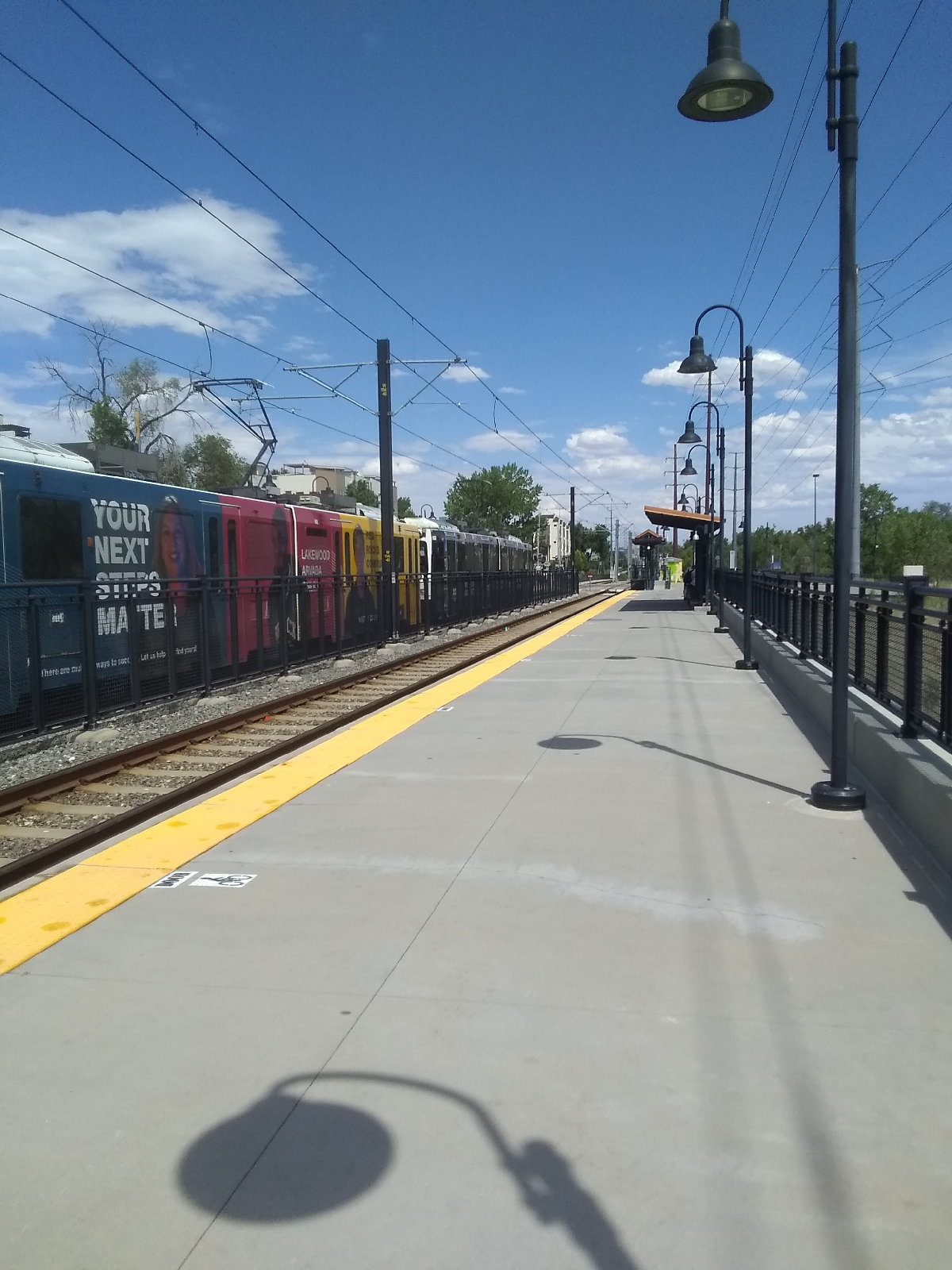
The light rail station here can be busy since it offers access to both the Department of Human Services offices and recreation like Empower football stadium and the Meow Wolf Art Exhibit.
Lakewood Gulch Trail is right on the edge of downtown Denver here.

Despite the urban setting, the South Platte
River draws water fowl. Here at the confluence of Lakewood Gulch and the South Platte River, things happen. The river has grown to a respectable size (see other photos of the South Platte in these blogs) and mixing of shallower waters carry pollutants but they also pour nutrients into the river and oxygenate it's waters. This egret seems to be looking for minnows.
After I reached the river, I had a tangle of highways to deal with, Interstates 25 and 70, Colfax Avenue and Old West Colfax Avenue, Walnut Street, First Street, Auraria Parkway, Fifth Street, the light rail and train yards, and the river. They all come together and try not to collide right here. Plus, the football stadium and Meow Wolf is tucked in amongst it all.

Meow Wolf is an interactive art exhibit in Denver run by a company in Santa Fe, New Mexico. They have other exhibits there and in Las Vegas. For the curious, the name was drawn at random from a container of slips of paper with words on them.
Denver, or the settlements that were to become Denver, was built around the promise of gold, a promise that soon played out with little result. What saved the town was a branch of the railroad that dropped down from Wyoming. Denver became associated with culture, cattle, and the railroad.

The railroad is still prominent here. It runs between Meow Wolf and much of it's parking area, so I waited awhile with several customers trying to get back to their vehicles while a long, slow train moved through.

The last stop on my itinerary was the Auraria campus, shared by Community College of Denver, Metropolitan State University of Denver, and the University of Colorado in Denver. I've been here before (Auraria West to Osage, November 10, 2018 blog) but there were parts of the campus I didn't see until I visited it with a friend a couple of weeks ago.

The campus is a mix of old (some of the oldest parts of Denver) and very new (the campus was built in 1973) architecture, and the old and still operating, Tivoli brewery serves as the student union.

The lynx is the official mascot of the University of Colorado in Denver.
For a major hub of the light rail system (the W Line branches off the rails to Union Station here), there is surprisingly little art here. As the train pulls into the station from points to the south and west, a mural appears on the side of one of the campus' administrative buildings. I say "appears" because the building is blocky and the mural is split between several walls that can only be seen as an unbroken whole from one direction.

This completes my exploration of the RTD W Line and the land (physical and cultural) surrounding it. I didn't include a lot. I passed through a major art district that offered much more than I had space to describe. The geology is complex and fascinating and I will have to revisit it. The cultures range from wealthy to the tent cities of Denver's homeless population (which is distressingly large and trapped in their circumstances.) The history spans the earliest native inhabitants to contemporary Denver.

Paths offer unique opportunities to learn from your surrounding. Following a railway, or a highway, or a stream can provide adventure and many learning opportunities.

What's in your world?

Sunday, July 31, 2022

Knox Station to Decatur-Federal Station

Once you leave Knox Station on the Lakewood Gulch Trail, you're almost at the Decatur-Federal Station.

 
In the week since my last hike along Lakewood Gulch, a lot of sediment has been washed into the once crystal clear water. I mentioned that when streams come together, it often takes some time and distance before the waters mix completely. You can see the effect here.

This stretch of the Lakewood Gulch is near downtown Denver and affords some great views of the skyline. It's still in the foothills.

Remember that this land is the stuff that was washed out of the Colorado highlands as the Rockies were being carved and the Foothills were shaped by tributaries of the South Platte River.

Green Mountain is still visible to the west.
The Denver area promotes it's trail system as an alternative to street travel so there are a lot(!) of footbridges and tunnels in the area to get people around obstacles. Lakewood Gulch, at it's approach to the river cuts a respectable valley here.
Federal Boulevard is the last north-south corridor for traffic before downtown Denver. The next major one is I25 and the snarl of on and off ramps that I will have to navigate on the next hike. Decatur-Federal Station is one of two light rail stations that service the big stadium in town, Empower Field, and is home to the Denver Brancos, the local professional football franchise. Across the Gulch is Rude Park with it's baseball field.
In addition to being a gateway to sports, the Decatur-Federal Station provides access to the Colorado Department of Human Services offices just up the hill. I was a little disappointed that the Castro Building is closed while the offices are moving to the newer building next door. 

The building was named in memory of the Colorado State Representative and community activist, Richard Castro. What I missed was the mural at the foot of the spiral staircase.

There are other artworks at the station, such as City of Dreams, by Joshua Wiener.
The sculpture is illuminated at night, and is intended to represent a city of progress with little environmental impact.  It is a provocative piece for me, rusted metal in view of a place where so many pass under to obtain services to barely survive in a "city of dreams".

The other sculpture seems more uplifting.


Interdependence, by Michael Clapper, displays the handprints of local children in sandstone.

All art pieces are signs and, as such, are not complete without the interpretation by the minds that consume them. It's always appropriate to ask of an art piece, "what do you mean to me", and to be cognizant that it will mean other things, often vastly divergent things, to other minds.

Here's one other sign that seemed strikingly relevant to me 
The sign and the stadium seemed to me to be of a whole. I've never been inside Denver's iconic football arena but no one can argue that it's not a centerpiece if the city. The two primary Interstates passing through the city, 25 and 70, practically cross around it. 

I'll be investigating this tangle of on and off ramps on the next and final section of the W Line hikes.

Thursday, July 21, 2022

Perry Station to Knox Station

This was another short hike and I'm glad for that because the Colorado summer heat was cranked wide open. Both Perry and Knox are small stations on mostly residential streets.

Here, the light rail and the accompanying Greenway make a straight shot to the state capitol building.

Just across Perry Street from the train station, Dry Gulch joins Lakewood Gulch.

Where two or more streams join, it's called a confluence and such a place is interesting on many different levels. For instance, many well-known confluences are also sacred sites. Whether it's psychological or physical, there's often a positive energy to such places. 

Confluences often have cultural and economic importance. The nearby confluence of the South Platte River and Cherry Creek is the birthplace of Denver, bringing life giving water, river commerce, and gold placers together to draw people from the Eastern United States to the new West.

Often, the mixing of waters from different sources will cause chemical reactions that make the separate streams visible far downstream. This water is surprisingly clear so that the effect is missing.

I tried to get a photograph of some very healthy looking minnows but they were too small.

Just downstream, the gulch widens out into a long pond.

Knox Station is just across the Lakewood Gulch here.
The retaining wall at Knox Station exhibits one of my favorite pieces of station art, Illuminating Path, by Jose Aguirre. It is a tile mosaic that looks like woven beads. It was constructed by students of the local La Academia.

Ways accumulate meaning. These railway stations would be railways stations whether there was art there or not...whether there were people there are not. There are plenty of abandoned railway stations in the world. But place one mind there and they self organize into places saturated with meaning. And they accumulate art.

A path is more than it's physical being. It has meaning..it has accumulated the meaning of all the people that have been there before. Many of the roads of the world were built on paths worn into the Earth by
bands of ungulates long before humans arrived, and they became footpaths, then highways for horses and carriages.

I come across paths in forests that have not been used for a long time. I recognize them for what they are...a mark on the landscape, but I also feel things. "I wonder where this path leads. I wonder who has used this path before me. I wonder what this path was used for."

Abandoned railways sometimes become foot trails. The Rails to Trails Conservancy exists to do just that. And the meaning grows.

Geometries, meanders and confluences, have meanings that do not exist in their physical nature, often deep significance grading to the religious. I look down a path that provides an unimpeded view of the state Capitol and something clicks in my mind. I want to record this meaningful thing.

Minds organize.

Monday, July 18, 2022

Sheridan Station to Perry Station


The little cabin is the top of one of the elevators on the bridge over Sheridan Station. The bus stops on the bridge and there's a large parking garage south of the bridge. Sheridan Boulevard is one of the main north/south corridors in East Denver.

I had an errand to run, so I took a short walk to the convenience store just south of the station and cycled back down through the parking garage to the light rail station. Dry Gulch Trail starts here.

This stretch of trail (and the next) are only a half mile long. I'm very tempted to just take the next 3.3 miles and finish the W Line hikes, but I don't want to rush it and miss something interesting.

I always see people walking this trail when I come through here on the train, so it's a popular stretch.

Downtown Denver is close here.
A recurring element in the Denver metro area is community gardens. I see both vegetables and ornamentals. And I usually see local residents puttering around in them, so they are used, and I get the idea that they are places where neighbors meet casually.

Meanders are interesting and inevitable when water is streaming. If you let a thin stream of water run across an absolutely flat pane of glass, the track it takes will not be straight. Of course, at the microscopic level, no surface is absolutely flat. Atoms are bumpy, and there in lies the beginning of a meander. Throw in the fact that the Earth is constantly rotating out from under anything on it's surface (that's called the Coriolis pseudo-force..."pseudo-force" because it looks like something is pushing things out of the way) and it would be hard for anything to move in a straight line.

Once a stream veers from a straight course, it exerts more force on one bank than the other and the curve of that section is increased. Streams in mountainous or hilly surroundings tend to follow the lay of the land. Streams in flat areas are the ones that meander wildly. Pull up a map of a plains river like the Mississippi or the Platte and look at it's course.

The streams in my area have just plunged from the Rockies or have dropped into the South Platte River valley so they have a lot of energy that allows them to forge straight ahead.

Perry Station is one of the smaller stations on the W Line. Dry Gulch flows close by and it's a short stroll from the trail to the light rail station. The main art attraction here is Interconnectivity by Joshua Wiener.
It lights up at night to add a little more illumination to the station at night. I've mentioned that all the light rail stations display art on the rail shacks and windscreens. You can see a couple of the outbuildings behind the Interconnectivity sculpture. Here are some more pictures from around Perry Station.
These windscreens emphasize recreation and community.

I'm just three hikes from the end of the W Line. The next hike will bring me to the confluence of the Lakewood and Dry Gulches and the last will show me where Lakewood Gulch meets the South Platte River.

Saturday, July 9, 2022

Lamar Station to Sheridan Station

There is an art walk from Lamar Station to Benton Street, just two blocks shy of Sheridan Station. It's part of the West 40 art district around Colfax Avenue. The green line on the pavement leads from the Lakewood Legacy Tree (see the Lakewood-Wadsworth Station to Lamar Station blog) to this piece just off Benton.

Dermal Plate Gateway was created by PUNCH, in MountAir park to commemorate Colorado's state dinosaur, the stegosaurus.

The Lamar Station end of the walk has this column with art pieces on all four faces.

This is one of 11 Story Totems in the area by Nestor Fedak. The panels change occasionally to keep the West 40 Art Line experience fresh and they light up at night.

These installations provide a free art and recreation experience for local people and visitors.

Denver has a thriving art community and there are so many pieces that I pass over simply because there are...well, so many pieces. I hope that I am encouraging residents of, and visitors to, Denver to tour the many art venues. You can usually find background information on the Internet. Try these sites.


And that doesn't even include aaaaall the major museums that you have to pay to see.

Don't forget that a gulch runs through it.

At this point near Sharidon Station, I'm following Dry Gulch, a nearby tributary of Lakewood Gulch. Sharidon Station is named for Sharidon Boulevard, part of Colorado highway 95. To the west is Jefferson County and to the east is Denver and Adams Counties. 

The street runs from Broomfield to the southern Denver suburb of Sheridan, named after the Civil War Lieutenant General Phil Sheridan (the one that marched to the sea and burned Georgia - you can see it in Gone With the Wind!) There were those who hoped for Fort Logan, in Sheridan, to be named Sheridan.

There's more about Sheridan, Colorado and Fort Logan in my January 25, 2017 blog, My Range.

The confluence of Dry and Lakewood Gulches is further east but they begin cutting deep banks in this area.

The creek bed is still muddy here. It shows how deep the stuff is that has been washed out of the Colorado Plateau to form the Rockies.

Sheridan Station has the train station under the bridge and the bus stop on top.

The primary art fixture is a space of streamers called "Gift of Rain", by John Flemming. The artist is from Seattle, Washington, so it's understandable that he would think of rain in the high desert.

The walls and columns of the bridge are also decorated with interesting relief depicting the surrounding grasslands.
A trail begins at Sheridan Station and, from the train, it looks like a series of parks with trails run along beside the light rail from here to Empower Field football stadium. That will make navigating these urban areas easier.