Showing posts with label Dry Gulch. Show all posts

Monday, July 18, 2022

Sheridan Station to Perry Station


The little cabin is the top of one of the elevators on the bridge over Sheridan Station. The bus stops on the bridge and there's a large parking garage south of the bridge. Sheridan Boulevard is one of the main north/south corridors in East Denver.

I had an errand to run, so I took a short walk to the convenience store just south of the station and cycled back down through the parking garage to the light rail station. Dry Gulch Trail starts here.

This stretch of trail (and the next) are only a half mile long. I'm very tempted to just take the next 3.3 miles and finish the W Line hikes, but I don't want to rush it and miss something interesting.

I always see people walking this trail when I come through here on the train, so it's a popular stretch.

Downtown Denver is close here.
A recurring element in the Denver metro area is community gardens. I see both vegetables and ornamentals. And I usually see local residents puttering around in them, so they are used, and I get the idea that they are places where neighbors meet casually.

Meanders are interesting and inevitable when water is streaming. If you let a thin stream of water run across an absolutely flat pane of glass, the track it takes will not be straight. Of course, at the microscopic level, no surface is absolutely flat. Atoms are bumpy, and there in lies the beginning of a meander. Throw in the fact that the Earth is constantly rotating out from under anything on it's surface (that's called the Coriolis pseudo-force..."pseudo-force" because it looks like something is pushing things out of the way) and it would be hard for anything to move in a straight line.

Once a stream veers from a straight course, it exerts more force on one bank than the other and the curve of that section is increased. Streams in mountainous or hilly surroundings tend to follow the lay of the land. Streams in flat areas are the ones that meander wildly. Pull up a map of a plains river like the Mississippi or the Platte and look at it's course.

The streams in my area have just plunged from the Rockies or have dropped into the South Platte River valley so they have a lot of energy that allows them to forge straight ahead.
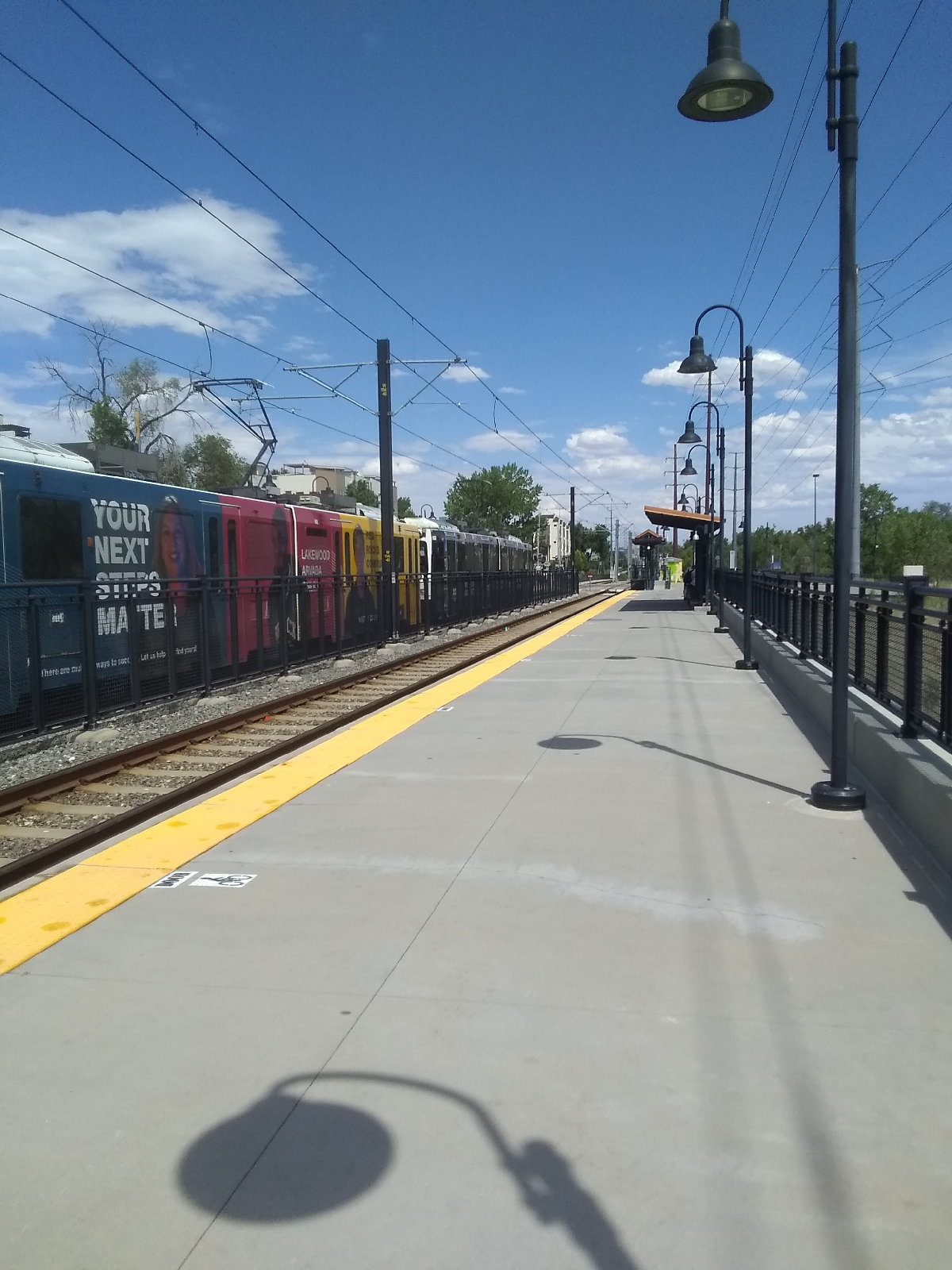
Perry Station is one of the smaller stations on the W Line. Dry Gulch flows close by and it's a short stroll from the trail to the light rail station. The main art attraction here is Interconnectivity by Joshua Wiener.
It lights up at night to add a little more illumination to the station at night. I've mentioned that all the light rail stations display art on the rail shacks and windscreens. You can see a couple of the outbuildings behind the Interconnectivity sculpture. Here are some more pictures from around Perry Station.
These windscreens emphasize recreation and community.

I'm just three hikes from the end of the W Line. The next hike will bring me to the confluence of the Lakewood and Dry Gulches and the last will show me where Lakewood Gulch meets the South Platte River.

Saturday, July 9, 2022

Lamar Station to Sheridan Station

There is an art walk from Lamar Station to Benton Street, just two blocks shy of Sheridan Station. It's part of the West 40 art district around Colfax Avenue. The green line on the pavement leads from the Lakewood Legacy Tree (see the Lakewood-Wadsworth Station to Lamar Station blog) to this piece just off Benton.

Dermal Plate Gateway was created by PUNCH, in MountAir park to commemorate Colorado's state dinosaur, the stegosaurus.

The Lamar Station end of the walk has this column with art pieces on all four faces.

This is one of 11 Story Totems in the area by Nestor Fedak. The panels change occasionally to keep the West 40 Art Line experience fresh and they light up at night.

These installations provide a free art and recreation experience for local people and visitors.

Denver has a thriving art community and there are so many pieces that I pass over simply because there are...well, so many pieces. I hope that I am encouraging residents of, and visitors to, Denver to tour the many art venues. You can usually find background information on the Internet. Try these sites.


And that doesn't even include aaaaall the major museums that you have to pay to see.

Don't forget that a gulch runs through it.

At this point near Sharidon Station, I'm following Dry Gulch, a nearby tributary of Lakewood Gulch. Sharidon Station is named for Sharidon Boulevard, part of Colorado highway 95. To the west is Jefferson County and to the east is Denver and Adams Counties. 

The street runs from Broomfield to the southern Denver suburb of Sheridan, named after the Civil War Lieutenant General Phil Sheridan (the one that marched to the sea and burned Georgia - you can see it in Gone With the Wind!) There were those who hoped for Fort Logan, in Sheridan, to be named Sheridan.

There's more about Sheridan, Colorado and Fort Logan in my January 25, 2017 blog, My Range.

The confluence of Dry and Lakewood Gulches is further east but they begin cutting deep banks in this area.

The creek bed is still muddy here. It shows how deep the stuff is that has been washed out of the Colorado Plateau to form the Rockies.

Sheridan Station has the train station under the bridge and the bus stop on top.

The primary art fixture is a space of streamers called "Gift of Rain", by John Flemming. The artist is from Seattle, Washington, so it's understandable that he would think of rain in the high desert.

The walls and columns of the bridge are also decorated with interesting relief depicting the surrounding grasslands.
A trail begins at Sheridan Station and, from the train, it looks like a series of parks with trails run along beside the light rail from here to Empower Field football stadium. That will make navigating these urban areas easier.