
RTD's G Line runs near the place where Colorado's first gold strike happened.
I'll get there but first there are two legs of the journey to accomplish. I visited the Wheat Ridge-Ward Station, the western end of the G Line back in July 1, 2919 (http://adventuringbcc.blogspot.com/2019/07/terminus-wheat-ridge-im-not-going-to.htmlhttp://adventuringbcc.blogspot.com/2019/07/terminus-wheat-ridge-im-not-going-to.html). Then, it was just to look around the station. Now, I begin a new series of station-to-station hikes from Wheat Ridge through Arvada to Union Station in Denver. There are six stations.

My point of departure for each of these hikes will be Union Station in downtown Denver. The G Line is one of the northbound rails that board in the train pavilion at the South side of Union Station (the southern rails use the light rail station to the north).

Still electric cable cars, these trains are larger than the light rail trains that run south of Denver. These look like trains, and the passenger areas are cushy and roomy.

These trains are also commuter trains first. Many of the people who work in Denver live in these northern suburbs. Situated on the plains, there isn't a lot out here other than residential areas and industries. The stations are further apart and there are fewer attractions.
Geologically, it's still the Dawson-Denver-Arapahoe formations, the same that make up the land in Centennial, where I live...dirt from the debris washed out of the Rockies and the Ancestral Rockies and volcanic dust blown from the west during the Colorado uplift. It's a lot of dirt and mud, but good for plants. Arvada is the area's main agricultural region.

The main highlight for me at Wheat Ridge is the view of North Table mountain and it's basalt cap.

And the other mountains around Golden.
The Station is the end of the line for the G Line. A little to the west is Ward Road that has a few amenities, like a convenience store.
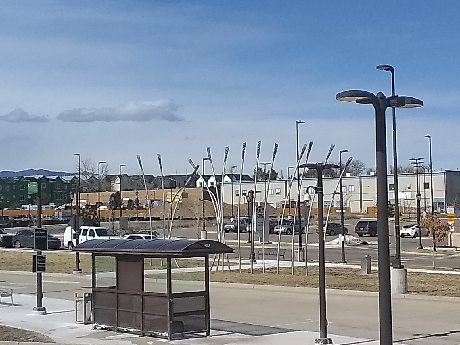
The art at Wheat Ridge-Ward Station is a piece by Michael Clapper called "Anchored by Place".


For rockhounds, the G Line offers dirt, mud, and landscaping boulders and gravel. I'm not dismissing gravel, such as railroad ballast. I've found some nice materials in gravel, like these feldspars.

But don't mistake them for indigenous minerals. There's no telling where they came from. You can try panning gold from nearby Ralston or Clear Creeks but good luck and remember that these are now urban Creeks and are likely polluted.


The views along this route are urban prairie and consist mostly of residential and industrial areas. On the train out, I noticed a lot of industrial sprawl and kept wondering, "how am I going to get around all this." Well, part of the draw is the puzzle of navigating these urban landscapes. My smartphone map utilities will be my friend.
To adventure!
By the way, do you know how to use the map utilities in your smartphone browsers? For wilderness navigation, understanding the lay of the land and celestial navigation is your best bet, but for urban navigation, minding the streets and city maps will get you where you want to go
Most smartphones will use GPS to locate your current position and put you on a map. If you need more help finding your way around, the Directions function in the Maps section of your browser should do the trick. Learn how to use them.
No comments:
Post a Comment