Showing posts with label mesa. Show all posts

Thursday, May 29, 2025

Cherry Creek: The Pinery to Castlewood Canyon entrance


This is the first mile marker that I saw on this hike. These posts have been my constant companions throughout the hikes from the confluence of Cherry Creek and the South Platte River. At this point I have hiked 33.5 miles along Cherry Creek and I am nearing the end of the journey.

I began this segment where I left off the last. I went as far as I could on trains and buses and had to take a Lyft taxi from downtown Parker to the Pinery Park and Ride. From there, I hiked down to the Cherry Creek Trail .


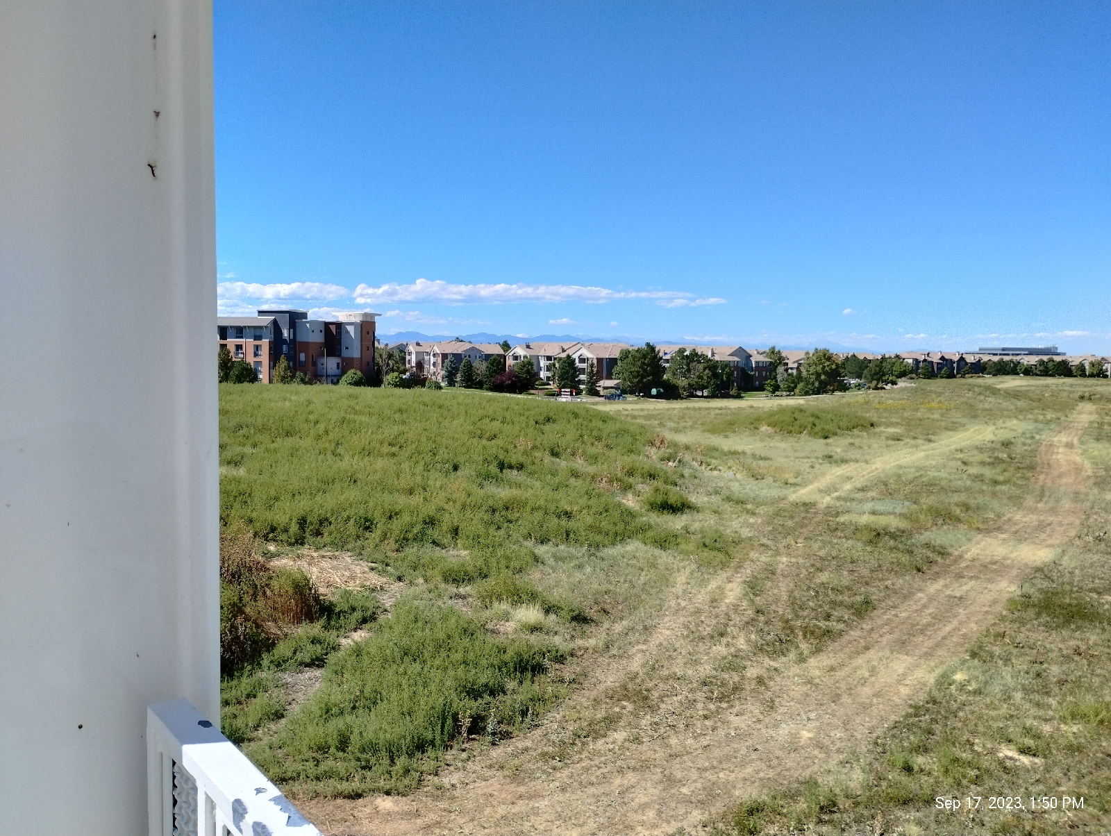
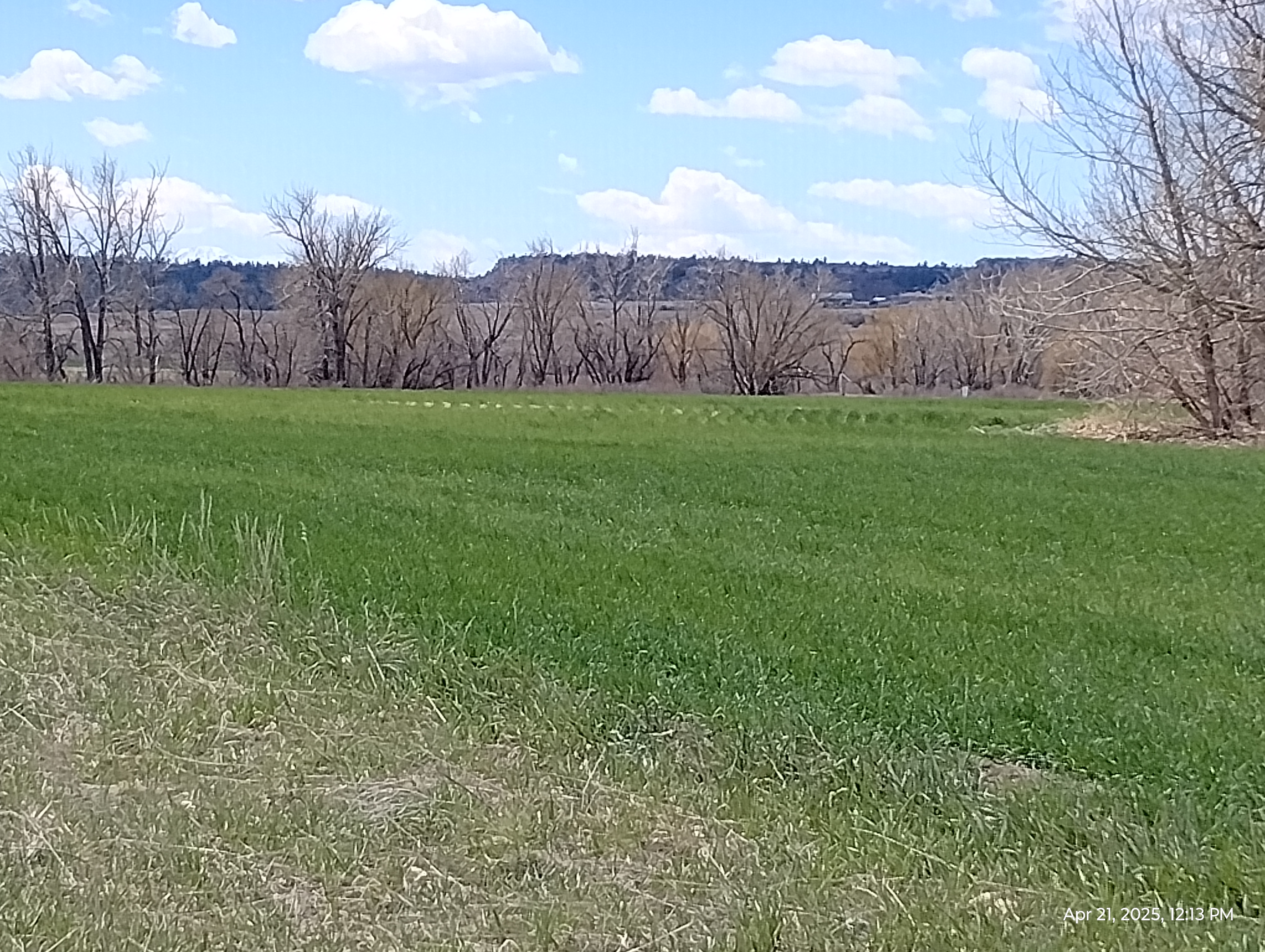
I was in for some big changes on this long section of the trail. On earlier hikes, I was walking between major bus stops. Pinery Park and Ride was the last RTD public transportation stop for me. 

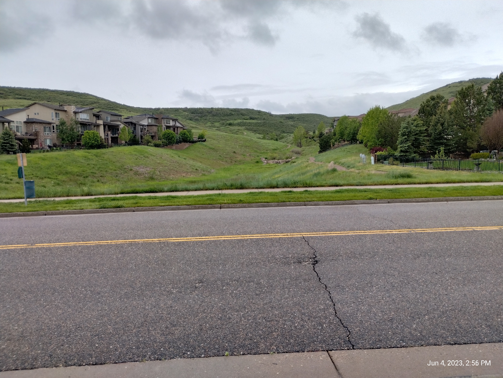
The creek was mostly a meandering stream with some stretches with high banks and some areas where it became braided with multiple branches spreading out and coming back together. That usually happens when the gradient is shallow and there is little to keep banks from eroding. 

There was little of braided sections from here on up. I could feel the slope increasing as the terrain became hillier.


To this point, the valley walls have been like a wide bowl. Starting at I25, there's been a gentle slope down to the creek and the same on the other side of Cherry Creek. Here, the edges of the valley are high bluffs. Steeper gradients give the runoff more power to carve the landscape.


I'm moving onto Palmer Divide, the rise in the land that separates the South Platte River and Arkansas River water sheds.

Most of the bedrock here is the same unconsolidated stuff that fills the Denver Basin, but Palmer Divide is special. It's capped by a hard layer of rock that prevents erosion in areas. The result is mesalands.

36.7 million years ago (by radiometric dating) a mountain near present day Buena Vista, Colorado blew it's top in an eruption that absolutely dwarfs anything in human history. It produced pyroclastic flows that spread as far as 65 miles to the east where present day Castle Rock is situated. It covered that distance in less than two hours. The hot cloud of volcanic ash settled and welded together to form the Wall Mountain tuff. The erosion resistant cap that covers Palmer Divide is composed of the tuff and Castle Rock conglomerate that contains big chunks of this tuff mixed with other odds and ends, one being a blue quartzite (boulders up to six feet in diameter) which has a source 46 miles away near present day Boulder near Eldorado Canyon.


The Castle Rock conglomerate was deposited somewhere between 33.9 and 36.7 million years ago in a massive flood (or floods) or rivers that flowed from the northwest. It's been calculated that, for a flood to have moved such boulders so far, the stream velocities had to have been more than 27 miles per hour. No boulders this size moved by any modern Colorado River has been found more than three miles away from the mountains. Even the Big Thomson flood could not compare.

Big events in the past created this arm of hills jutting out from the Rockies into the plains.


Hidden Mesa is part of this hilly landscape rising 600 feet from the valley floor. If I were not trying to reach the canyon on this hike, I could have taken a trail to the top where a couple of hikers assured me there were great views of the surrounding land. The park also boasts of an experimental orchard and vegetable farm.


Instead, I walked into Franktown and ate at Adriana's Mexican restaurant, a friendly place with good food. I tried valiantly to not stuff myself .....and failed.

Franktown was the last town before the canyon and from there the rim of the valley closed in. This was ranch country and most of the area by the trail was posted.


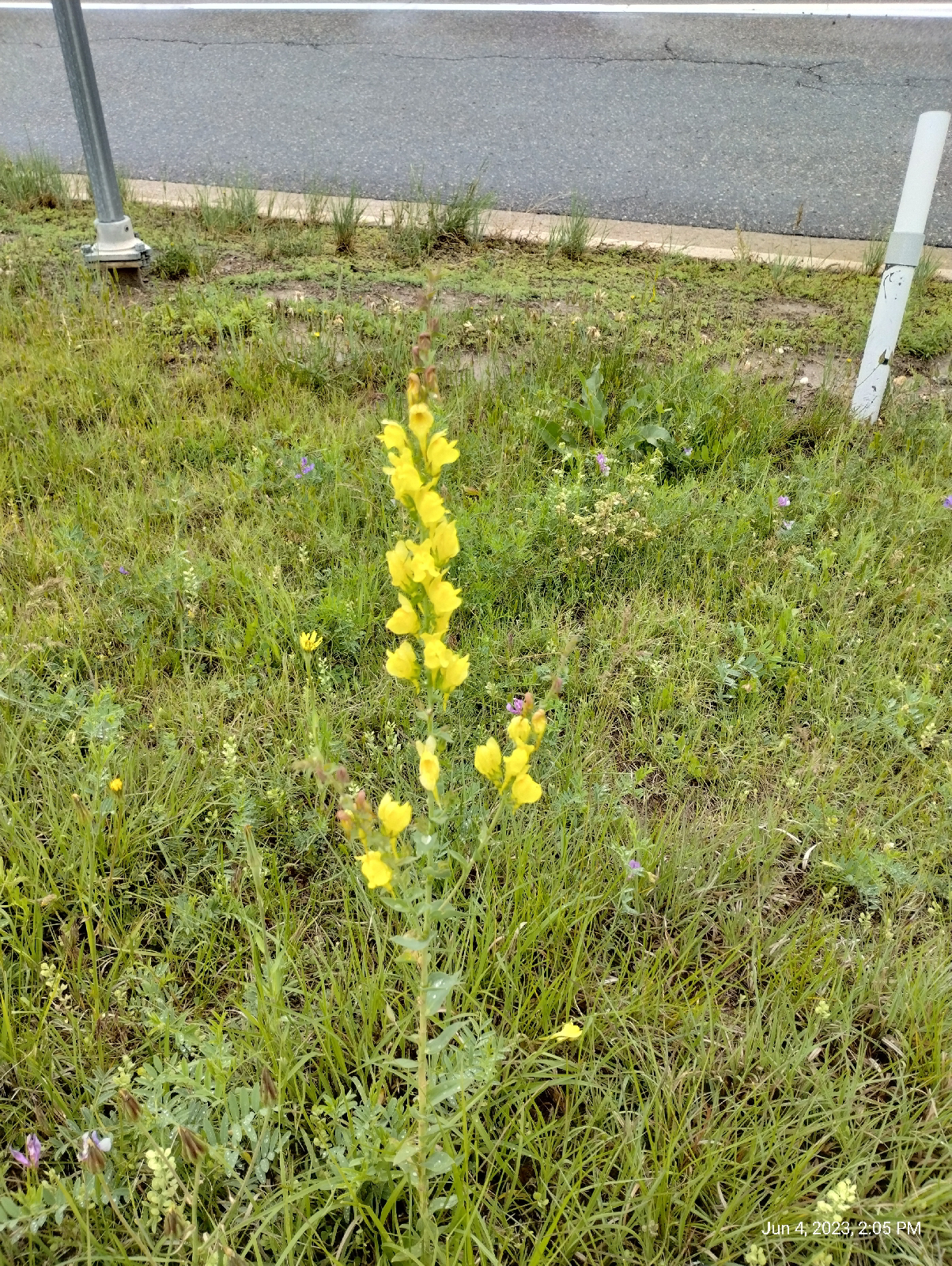
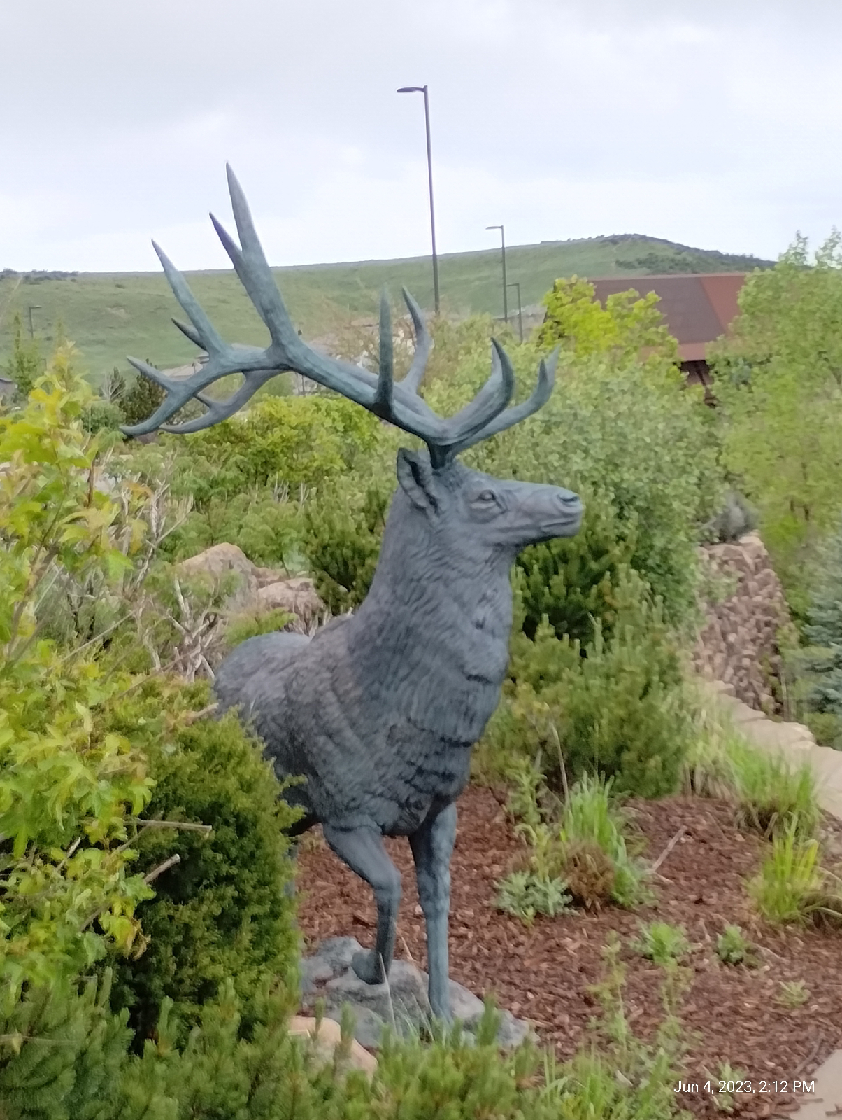
There was plenty of life, wild and otherwise, along the trail. The entire Cherry Creek Trail has been popular with bicyclists, joggers, hikers, strollers and dogs. None of it has been crowded but no part of it has been empty of people. I've seen plenty of bird life (including hawks and eagles), prairie dogs, Beaver dams. The only megafauna other than humans (technically "megafauna" is any animal over 100 pounds) I've seen are deer but I'm pretty sure I've seen signs of coyotes (tracks, droppings).

I think the herd of deer in the picture above is the third I've seen on the trail.

One last switchback brought me up to the Eastern entrance to Castlewood Canyon State Park.


I think I've mentioned that I've never seen a photograph that does the canyon justice. In real life, the view from the entrance (first photo above) is breathtaking. If you enlarge the top photo, you can see the cap of Castle Rock conglomerate layer on top. 

The road in the picture runs through most of the canyon to the west entrance.

If you look really hard at the bottom photo, you can see the switchbacks of the Cherry Creek Trail. The mesas and plains extend our into the distance.

Hopefully, I will be able to return here to finish the Cherry Creek Trail.


Sunday, September 17, 2023

Bellevue Station to Southmoor Station


I'm back on the high plains for this hike. I've spent so much time west of the Valley Highway (Interstate 25) that I've decided to focus more on the Cherry Creek Valley, east of the highway, for a while.

The above shot was taken on my outward journey, at the Arapahoe at Village Center Station. The premier plant on the plains, either wild or cultivated, is grass but the variety is so outstanding, it shouldn't be overlooked. These plants are almost certainly cultivated pampas grass planted in the margin of the station plaza right next to the tracks but the whole scene grabbed my attention so I took the photo for a lead-in to the blog. (East of the interstate, the valley highway blocks clear views of the mountains so don't expect any breathtaking vistas this time.)
I don't know what causes the bumpy land on the north side of Union Avenue from Bellevue Station, whether the bumps are natural or manmade. The area is used as a park for the residential area nearby and one of the mini-mesas has a picnic table on top. I wonder if the mysterious mound at Arapahoe Station is just one of these hills that has been landscaped.

A mesa is generally a flat topped hill formed by weathering and erosion. The Table Mountains in Golden area are sedimentary rock topped by an erosion resistant cap of an ancient lava flow. Green Mountain, between there and Denver is just an erosion feature carved out of the layered sandstones and mudstones of the bedrocks underlying the Denver area. Mesas are a typical feature of desert areas, carved away by wind and water, less by streams than by the direct action of falling rain, dew, and water that seeps up out of the ground.

The Denver, Dawson, and Arapahoe formations are mainly sand and mud stones but there is certainly variation in density of the rock and, so, the ground can be expected to erode at variable rates. I can imagine these hills being the result of that process.

This view from the Union Street bridge next to Bellevue Station is the best I could do for a requisite shot of the Rockies on this hike. From here, I'm headed east.

I catch up to Goldsmith Gulch at George M. Wallace Park, which borders the DTC Parkway. Not to be confused with the Alabama governor, George M. Wallace is a developer considered to be one of the founders of the Denver Tech Center. The park is a big lawn with picnic tables and benches that provides an outdoor recreational area for the surrounding developments.

Goldsmith Gulch goes underground at Interstate 225, a Denver perimeter bypass, and the RTD H/R light rails. It reemerges on the other side near Rosamond Park.

These are very urban parks, manicured and all that, but they do have some small draws for the naturalist. I'm pleased to see my (and the Monarch butterfly's) favorite wildflower growing in abundance. I usually show the blossoms but, to the plant, the seeds are all important, so ..
I'm sure one of the milkweed 's secret to success (I have never been to a place where it isn't) is the fact that so many seeds are spread by the wind.

These guys are there, too. You may have noticed from my past blogs that we like our prairie dogs.
By 2:00 I had to see just how badly I was overheating and was surprised to see that the air temperature was only 88° F. The humidity was sorta high for a desert town, 41%, but the real culprit was that blazing Colorado sun. If you aren't from Colorado and decide to visit, don't underestimate it. Heat, dryness, and altitude can be a deadly trifecta.
By Rosamond Park, the gulch has grown considerably. 

The surface of the park is mostly loess and the colluvium that is so common in the area. "Loess", by the way is pronounced "less". It's a soft rock formed by sand, clay, and/or silt deposited by the wind. Geology students are reminded of that by the phrase, "more and more of loess and loess." 

Most of the material around the stream was deposited by it...and the folks that constructed it, of course. Those rocks weren't born there.
This mudstone is a rare outcropping of something that actually belongs there...real bedrock! Muds often dry and compact into layers like this. The platey molecules, which are generally complex, tend to want to bind more strongly to those next to them to form sheets. The sheets are held together by weaker forces that become even weaker when dry. The polar attraction between water molecules go away. This stuff ends up being sedimentary mudstones and, if subjected to stronger forces and heat becomes shale, and then metamorphic slate.

This, believe it or not, is Goldsmith Gulch. It goes underground beneath that shopping center and then emerges across the street to continue it's journey to Cherry Creek. I left it here to follow Hampden Avenue west to my destination.
A car wash shaped like a river boat in the high desert. That's.....novel.

Like many of the light rail stations, Southmoor's parking lot is across the interstate from the train platform. The two are connected by a tunnel under the interstate. There used to be light columns along the walk that lit up and made an audible tone as you walked by. As Stephen King says, "the world has moved on."

There are residences behind these walls. From Southmoor to Broadway Station, there are noise barrier walls around long stretches of the light rail and Interstate. They're decorated with Colorado scenes. The bison is, of course, an iconic animal of the plains. It's not an official symbol of Colorado. The bighorn sheep is the official Colorado State mammal. But they're impressive, historic, and there are still a few around in ranches and national parks, and, uh, zoos. They're conserved and maintained.

Ones skullcap popped off. It shut down one of the rails for awhile until they repaired it. There are also mountains featured....and squiggly lines...not sure what they represent.

Anyway!
I had a supply run to make in Englewood. The light rail station there has nice vistas of the Front Range.
My hikes often turn into multipurpose treks. Once I loaded my backpack with supplies, I headed back home.

Next time, I'll take a final look at Goldsmith Gulch (for the time being), the Highline Canal, and Yale Station.

Monday, June 5, 2023

Ridgegate to Sky Ridge Station: A new line


The rail from Lincoln Station in the southern Denver Metro area to Ridgegate Parkway Station is not only a new stop for me (Actually I was here for the terminus hikes) but it's a new line for the Regional Transportation District. When I first visited this area to see an opthalmologist in Parker, the line stopped at Lincoln Station. That was around five years ago.

The explosive development in the Lone Tree area prompted the addition of the three new stations 

As usual, I started my hike with a short walk to Arapahoe Station. The day was cloudy and promised rain. The Rockies are usually clearly visible from this point on Arapahoe Road but not on this day. I was thankful for the cooler temperatures but expected to get some use from my rain gear.

A primary geological feature of the Lone Tree area is The Bluffs and, since I had lost many of my past photographs of the area, I wanted to replace them.

Mesas are flat topped hills. They can be formed in different ways. The two Table Mountains in Golden are ancient lava flows that protected the underlying soft sedimentary rock from erosion. The Bluffs were simply carved by wind and water.

This area is the northern border of the Palmer Divide, a ridge that separates the drainage lands of the South Platte and Arkansas Rivers. It was literally formed by fire and rain.

The uplift that formed the Rocky Mountains was a fairly quiet affair but around 25 to 40 million years ago something happened that geologists don't quite understand. Something touched off an intense period of volcanic activity in what is today Colorado and New Mexico. Called the Ingimbrite Flare-up, one of the last acts produced an explosion like none since. Mount Guffey blew it's top and covered the land to the east with lehars (volcanic mud flows) and pyroclastic flows hundreds of feet thick over 50 miles to the east.

Soon (geologically speaking, and maybe even in human terms) there were huge floods in the area. Although the volcanic material didn't extend as far east as the area crossed by I-25 today, the floods piled materials against tuff laid down by the volcano far out onto the plains. Now, how do I know all that happened?

Well, what's left of Mount Guffey is still up there near the Florrisant Fossil beds and the layers of tuff is still buried under the Rockies. Tuff is a rock formed when a pyroclastic flow settles down. The fine particles of volcanic debris ejected from the volcano weld together to form a tough (see what I did there?) material.

So, how do I know about the floods?. The record is up on top of the Bluffs and I'll address that later.

There is a good bit of development going on around Ridgegate Parkway Station...there has been for some time and I'm not sure what's holding it up. Wait until you see Lone Tree City Center 

Like most of the train stations, Ridgegate has it's art.

It would be quite reasonable for a visitor to say, "What's all this?" so there's a plaque.

It's interesting that local ranches were brought into the process of developing this art piece. Do you recognize any of the coding symbols?

This area is a land of vistas. The plains stretch to the east but I was still in the Piedmont. This long shot isn't the plains proper but the wide valley of Cherry Creek.

Interstate 25, as it runs through the Denver area, is called the Valley Highway, which is appropriate since it runs along a high ridge dividing the valleys of the South Platte River and Cherry Creek. This is certainly a land of divides.

Walking into Lone Tree, I was treated to a profusion of wildflowers.

Yellow toadflax
Blue flax
Penstemon (beardtongue)

Just past the Interstate, the first thing you see in Lone Tree is the Cabala store with it's guardian buck. The stairs climb up to a parking lot.

The parking lot provides a sweeping view of the Sky Ridge Medical Center. The main attractions of Lone Tree area Cabela, Sky Ridge, the Bluffs, and high end apartments.

This one caught my attention with it's seemingly thrown-together-at-random decor.

The approach trails to The Bluffs Regional Park from the east and north are through residential neighborhoods and parks. I chose Belvedere Park and Sky Prairie Park. They follow the newly sprung Willow Creek. Since I might be looking at Cherry Creek on the next series of hikes, I think I will be following Willow Creek as it turns west away from the light rail to Arapahoe Road. There are some interesting developments there.

The ascent follows a series of switchbacks up a cut formed by water flowing down to Willow Creek. The day was rainy so the otherwise breathtaking scenery was subdued. Normally the Denver skylines (including the Denver Tech Center), the plains, and the Rockies from Long's Peak to Pikes Peak are clearly visible.

I did get a change to see the geological profile while scaling the muddy trial. The Bluffs are a four layer cake. The layers are poorly consolidated conglomerates, thus the mud. Three, we've talked about several times before because they're the formations that underlie the Denver Metro area.

Willow Creek emerges from the lowest level, the Denver formation. It's a wetter aquifer so it has more flow generally than Little Dry Creek, which primarily springs from the upper Dawson aquifer and runoff from the Arapahoe and Yosemite Roads. Both the Arapahoe and Dawson formations are also present here as the next two layers.

The top layer is the interesting one. The Castle Rock conglomerate overlays most of Palmer Divide. The cobbles that make it up tend to be larger and more diverse. There is dark volcanic material from the tuff to the west, local sandstone and mudstone cobble, and that odd blue quartzite shown above. It's not from around here.

In fact, the only place that could have provided the blue quartzite to the mix is an area around Boulder near Eldorado Canyon. That's the only place it occurs as solid rock in the Front Range. Eldorado is almost fifty miles away. Something washed cobbles to boulder sized chucks of rock from the Eldorado Canyon area to Lone Tree, and that's how I know that a humongous flood hit the area soon after the Ingimbrite Flare-up. This stuff is found as a caprock all over Palmer Divide 

The high point of the Bluffs is Tepe Point. At 6380 feet elevation, it provides stunning views of the area. There's a stone marker (shown above) pointing out the major peaks visible from there. Here are some other photos of the area.


The stone ring at Tepe Overlook is a nice place to rest and maybe have a bite to eat before continuing an exploration of The Bluffs.

Back down in Lone Tree, I made my way along the streets to Sky Ridge Station. Nearby was a small park that afforded some nice views to the north. I don't know the name of the park but it's what we called down South a "peace park".
Off to the north, I could see this curious piece of art.

I used Google Lens to look it up and found that it is a product of Thornton Tomasetti engineering, who did a lot of the work on the Ball Arena. It's the Lincoln Avenue pedestrian bridge that provides safe passage across busy Lincoln Avenue (something to check out on my next few station-to-station hikes.) 

As usual, Sky Ridge Station has an art piece...

called "Willow", by Curtis Pittman, it is intended to evoke the spirit of the surrounding land, the prairie grasses and the mountain Aspen  I would imagine that Willow Creek figured into that, too.

The station serves Lone Tree and especially the Sky Ridge Medical Center, which is right at it's steps. Some of the images promote the area as a place of many possibilities.
Many of the developers' dreams don't seem to be working out. There's an ongoing battle to develop properties on the Bluffs and we'll look at the oddly named, and strangely empty, Lone Tree City Center next time.

Making it back to my neighborhood, I noticed that the recent rains had fattened Little Dry Creek 

The Bluffs get a lot of visitors but, compared to many of the sites around Denver, they're pretty much overlooked. Still, their beautiful vistas and fascinating geology make them a hidden gem. Are there any surprises waiting for you in your area?