Showing posts with label The Bluffs. Show all posts

Monday, June 5, 2023

Ridgegate to Sky Ridge Station: A new line


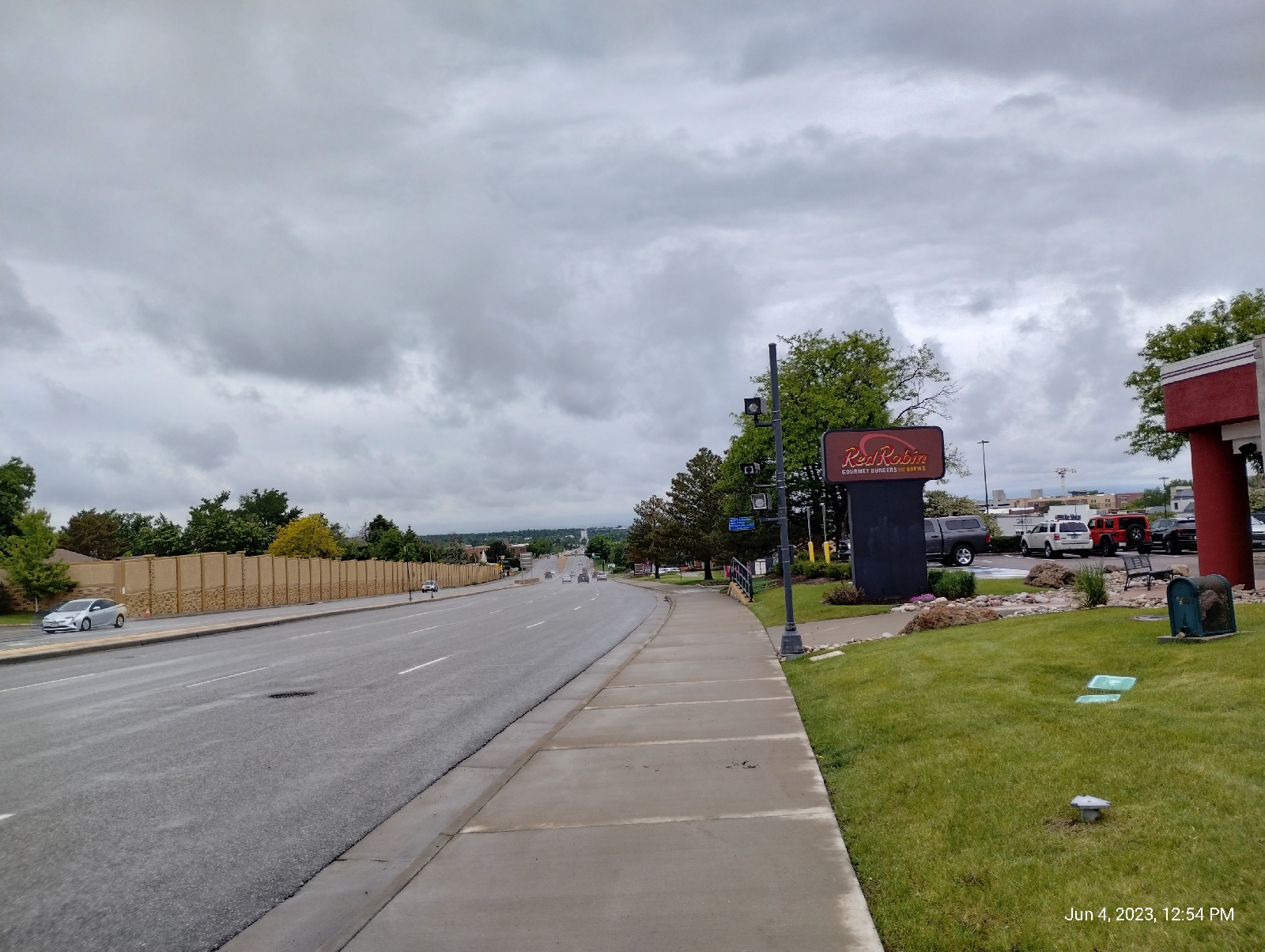
The rail from Lincoln Station in the southern Denver Metro area to Ridgegate Parkway Station is not only a new stop for me (Actually I was here for the terminus hikes) but it's a new line for the Regional Transportation District. When I first visited this area to see an opthalmologist in Parker, the line stopped at Lincoln Station. That was around five years ago.

The explosive development in the Lone Tree area prompted the addition of the three new stations 

As usual, I started my hike with a short walk to Arapahoe Station. The day was cloudy and promised rain. The Rockies are usually clearly visible from this point on Arapahoe Road but not on this day. I was thankful for the cooler temperatures but expected to get some use from my rain gear.

A primary geological feature of the Lone Tree area is The Bluffs and, since I had lost many of my past photographs of the area, I wanted to replace them.

Mesas are flat topped hills. They can be formed in different ways. The two Table Mountains in Golden are ancient lava flows that protected the underlying soft sedimentary rock from erosion. The Bluffs were simply carved by wind and water.

This area is the northern border of the Palmer Divide, a ridge that separates the drainage lands of the South Platte and Arkansas Rivers. It was literally formed by fire and rain.

The uplift that formed the Rocky Mountains was a fairly quiet affair but around 25 to 40 million years ago something happened that geologists don't quite understand. Something touched off an intense period of volcanic activity in what is today Colorado and New Mexico. Called the Ingimbrite Flare-up, one of the last acts produced an explosion like none since. Mount Guffey blew it's top and covered the land to the east with lehars (volcanic mud flows) and pyroclastic flows hundreds of feet thick over 50 miles to the east.

Soon (geologically speaking, and maybe even in human terms) there were huge floods in the area. Although the volcanic material didn't extend as far east as the area crossed by I-25 today, the floods piled materials against tuff laid down by the volcano far out onto the plains. Now, how do I know all that happened?

Well, what's left of Mount Guffey is still up there near the Florrisant Fossil beds and the layers of tuff is still buried under the Rockies. Tuff is a rock formed when a pyroclastic flow settles down. The fine particles of volcanic debris ejected from the volcano weld together to form a tough (see what I did there?) material.

So, how do I know about the floods?. The record is up on top of the Bluffs and I'll address that later.

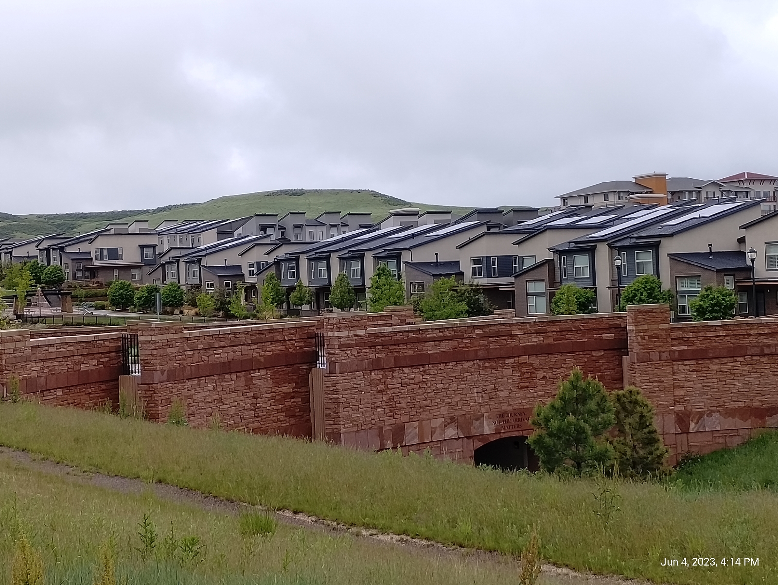
There is a good bit of development going on around Ridgegate Parkway Station...there has been for some time and I'm not sure what's holding it up. Wait until you see Lone Tree City Center 

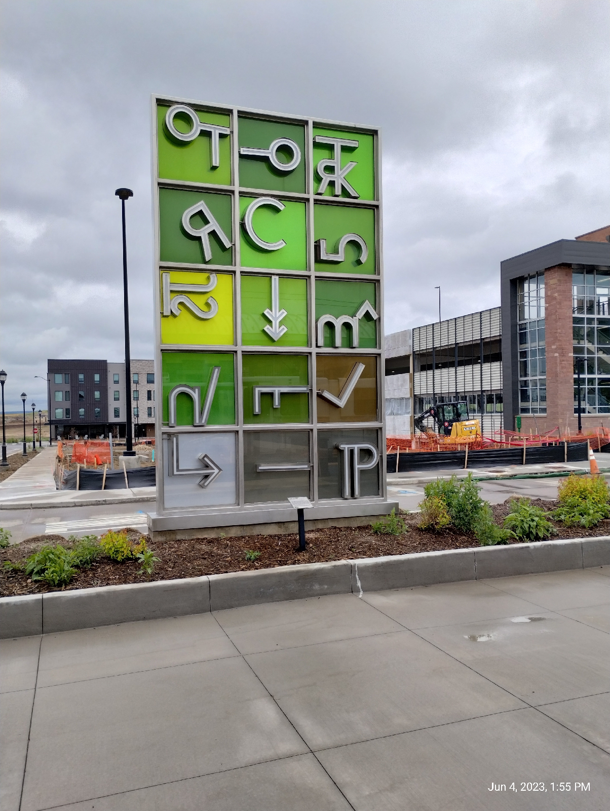
Like most of the train stations, Ridgegate has it's art.

It would be quite reasonable for a visitor to say, "What's all this?" so there's a plaque.

It's interesting that local ranches were brought into the process of developing this art piece. Do you recognize any of the coding symbols?

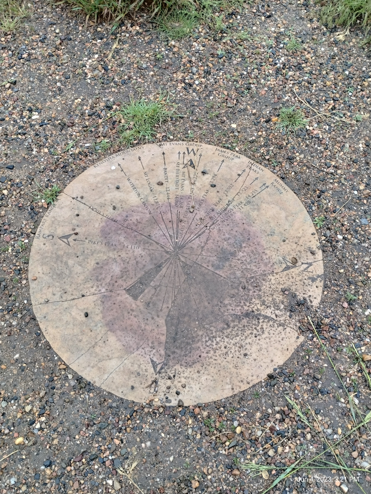
This area is a land of vistas. The plains stretch to the east but I was still in the Piedmont. This long shot isn't the plains proper but the wide valley of Cherry Creek.

Interstate 25, as it runs through the Denver area, is called the Valley Highway, which is appropriate since it runs along a high ridge dividing the valleys of the South Platte River and Cherry Creek. This is certainly a land of divides.

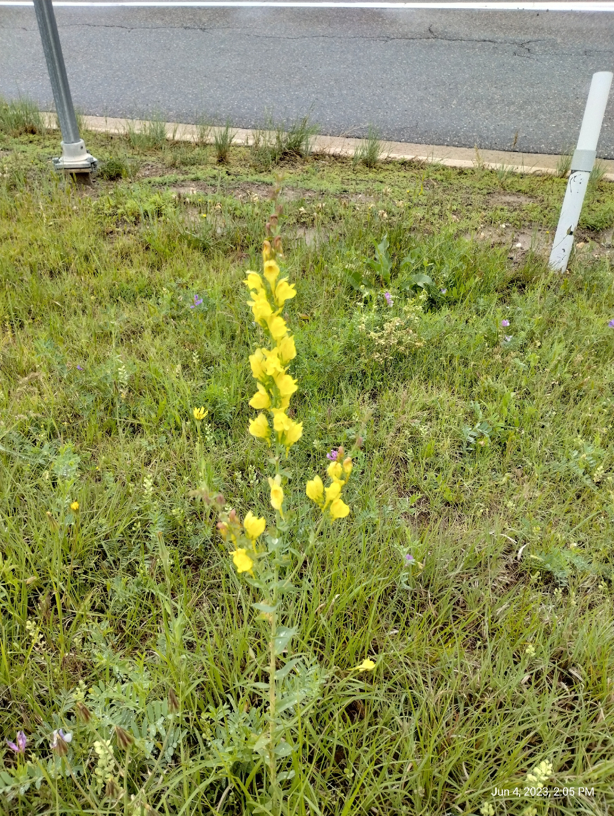
Walking into Lone Tree, I was treated to a profusion of wildflowers.

Yellow toadflax
Blue flax
Penstemon (beardtongue)

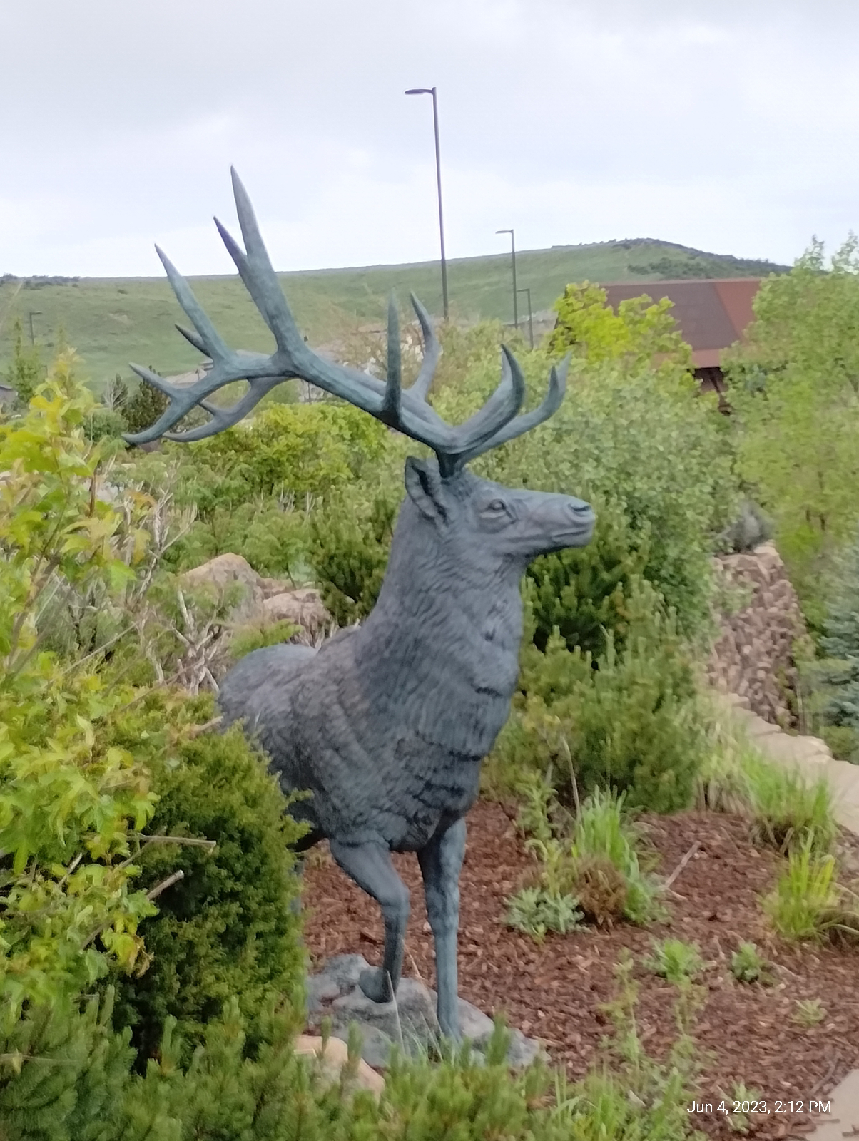
Just past the Interstate, the first thing you see in Lone Tree is the Cabala store with it's guardian buck. The stairs climb up to a parking lot.

The parking lot provides a sweeping view of the Sky Ridge Medical Center. The main attractions of Lone Tree area Cabela, Sky Ridge, the Bluffs, and high end apartments.

This one caught my attention with it's seemingly thrown-together-at-random decor.

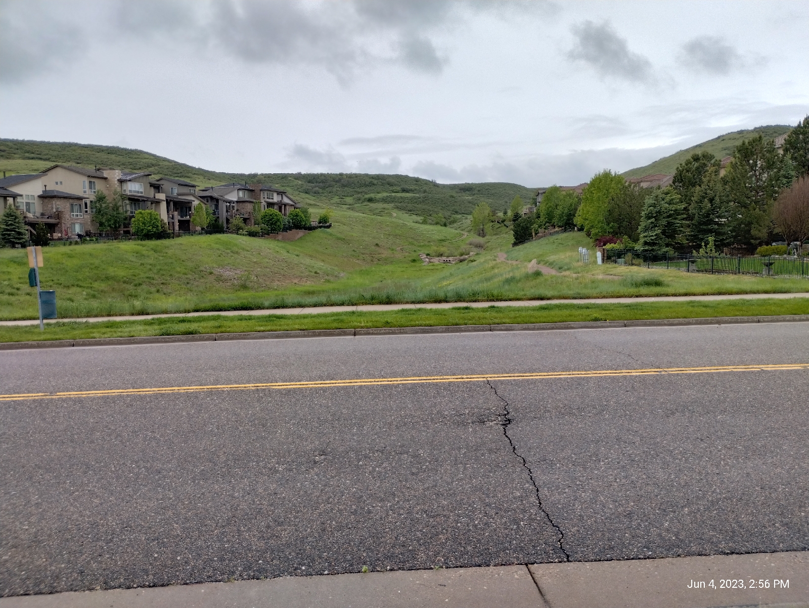
The approach trails to The Bluffs Regional Park from the east and north are through residential neighborhoods and parks. I chose Belvedere Park and Sky Prairie Park. They follow the newly sprung Willow Creek. Since I might be looking at Cherry Creek on the next series of hikes, I think I will be following Willow Creek as it turns west away from the light rail to Arapahoe Road. There are some interesting developments there.

The ascent follows a series of switchbacks up a cut formed by water flowing down to Willow Creek. The day was rainy so the otherwise breathtaking scenery was subdued. Normally the Denver skylines (including the Denver Tech Center), the plains, and the Rockies from Long's Peak to Pikes Peak are clearly visible.

I did get a change to see the geological profile while scaling the muddy trial. The Bluffs are a four layer cake. The layers are poorly consolidated conglomerates, thus the mud. Three, we've talked about several times before because they're the formations that underlie the Denver Metro area.

Willow Creek emerges from the lowest level, the Denver formation. It's a wetter aquifer so it has more flow generally than Little Dry Creek, which primarily springs from the upper Dawson aquifer and runoff from the Arapahoe and Yosemite Roads. Both the Arapahoe and Dawson formations are also present here as the next two layers.

The top layer is the interesting one. The Castle Rock conglomerate overlays most of Palmer Divide. The cobbles that make it up tend to be larger and more diverse. There is dark volcanic material from the tuff to the west, local sandstone and mudstone cobble, and that odd blue quartzite shown above. It's not from around here.

In fact, the only place that could have provided the blue quartzite to the mix is an area around Boulder near Eldorado Canyon. That's the only place it occurs as solid rock in the Front Range. Eldorado is almost fifty miles away. Something washed cobbles to boulder sized chucks of rock from the Eldorado Canyon area to Lone Tree, and that's how I know that a humongous flood hit the area soon after the Ingimbrite Flare-up. This stuff is found as a caprock all over Palmer Divide 

The high point of the Bluffs is Tepe Point. At 6380 feet elevation, it provides stunning views of the area. There's a stone marker (shown above) pointing out the major peaks visible from there. Here are some other photos of the area.


The stone ring at Tepe Overlook is a nice place to rest and maybe have a bite to eat before continuing an exploration of The Bluffs.

Back down in Lone Tree, I made my way along the streets to Sky Ridge Station. Nearby was a small park that afforded some nice views to the north. I don't know the name of the park but it's what we called down South a "peace park".
Off to the north, I could see this curious piece of art.

I used Google Lens to look it up and found that it is a product of Thornton Tomasetti engineering, who did a lot of the work on the Ball Arena. It's the Lincoln Avenue pedestrian bridge that provides safe passage across busy Lincoln Avenue (something to check out on my next few station-to-station hikes.) 

As usual, Sky Ridge Station has an art piece...

called "Willow", by Curtis Pittman, it is intended to evoke the spirit of the surrounding land, the prairie grasses and the mountain Aspen  I would imagine that Willow Creek figured into that, too.

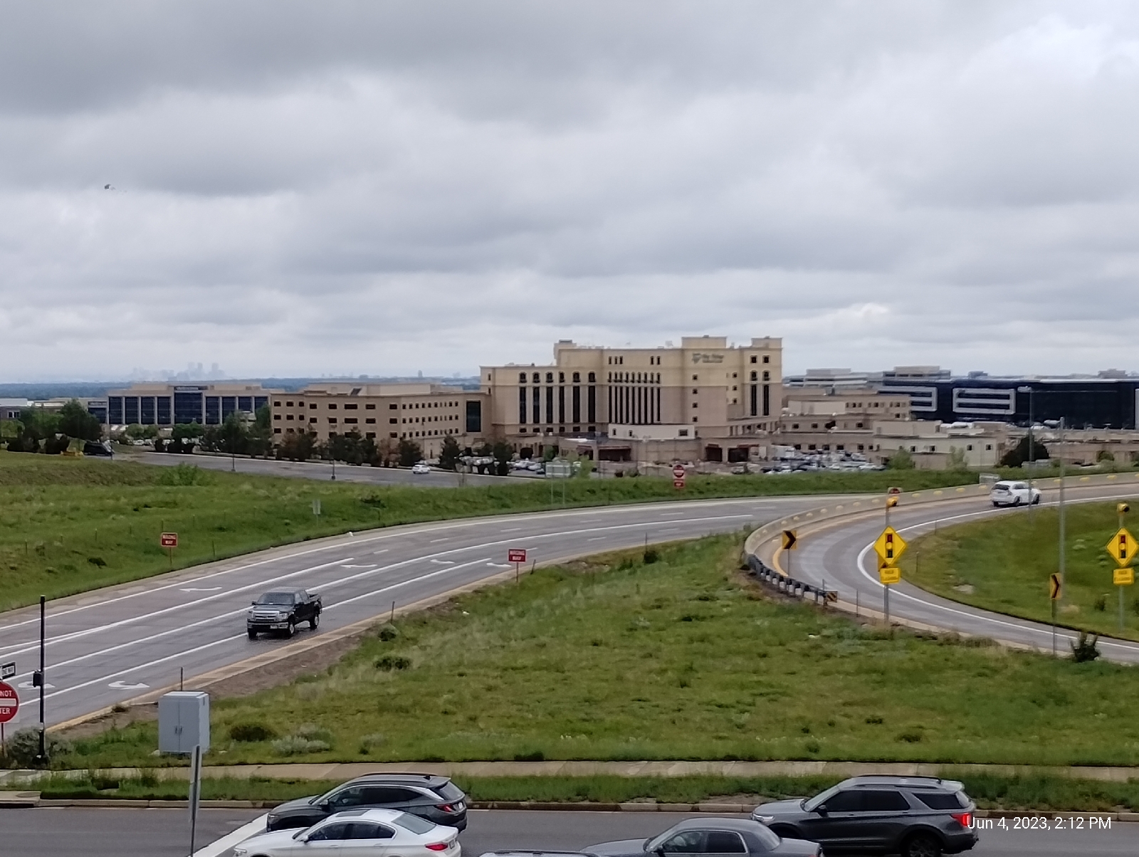
The station serves Lone Tree and especially the Sky Ridge Medical Center, which is right at it's steps. Some of the images promote the area as a place of many possibilities.
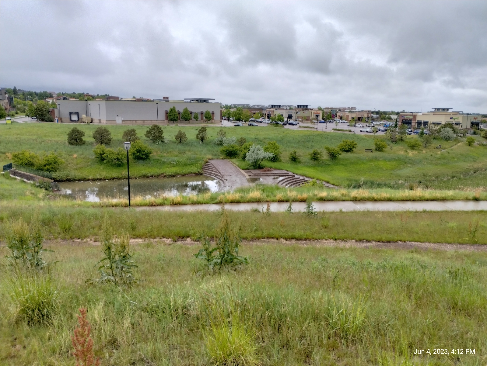
Many of the developers' dreams don't seem to be working out. There's an ongoing battle to develop properties on the Bluffs and we'll look at the oddly named, and strangely empty, Lone Tree City Center next time.

Making it back to my neighborhood, I noticed that the recent rains had fattened Little Dry Creek 

The Bluffs get a lot of visitors but, compared to many of the sites around Denver, they're pretty much overlooked. Still, their beautiful vistas and fascinating geology make them a hidden gem. Are there any surprises waiting for you in your area?

Friday, March 20, 2020

Terminus: Ridgegate

Ridgegate station is the southern terminal for three lines of the light rail system in Denver: the E, F, R lines. It's just about as far south as you can go and be in the Denver area. Just south of there are the bluffs, a wild grassland.

I hear that there are companies wanting to build there, but there are also concerned citizens fighting them to keep that area wild.

Ridgegate is growing. The light rail extension from Lincoln Avenue to Ridgegate Parkway is new and I haven't been south of Lincoln on it. I visited someone at Sky Ridge Hospital near Ridgegate a couple of months ago.

Currently the terminus is isolated but in easy walking distance of the Ridgegate community, it's shops, and the hospital. My destination was The Bluffs Regional Park.

Like all train and bus stations in the Denver area, this one has been adorned by a known artist, in this case, two artists. The names are Erik Carlson and Erica Carpenter. Decidedly modern, the art incorporates local ranch brands and technological symbols into an exhibit called "End of the Line." I'll let them tell you.


Here's some of the art.


The station is large but sort of lonely out on the plains.


As near as it is to a dense residential area, it's separated by I-25. A short hike brought me there. The entrance to the town is guarded by a brass elk at Cabela's parking lot (I guess it's an elk.)


Long, long ago, in a land pretty darn close by (I live in a suburb of Denver), the Pacific Plate crashed into North America and buckled the continent forming the Colorado Plateau. Except for a few volcanoes that belched a lot of ash into the wind, it was a fairly well rounded plateau, but rains fell and, soon rivers formed (like they do) and the South Platte and Arkansas Rivers started carving out deep gorges and depositing silt and rock east of what would be the Rocky Mountains. Mixed with the mud that formed when the volcanic ash decomposed, there was a deep blanket of gunk sloping out across the plains. To the south of what is today Denver, quartz rich sands got washed down and formed a hard layer over the softer stuff.

Time and rain kept flowing and water flowed both west and east. Tributaries of the South Platte and Arkansas Rivers kept excavating. To the north of Denver, nature wore the land down to a nub, and today we have the gently rolling hills of the western plains. To the south, that hard capstone resisted erosion in places and now we have the mesas and buttes like Castle Rock. Between, the ridge of Palmer's Divide split falling waters apart to run into the South Platte to the north, and the Arkansas to the south. And right on the northern border of Palmer's Divide is this 


I'm sure the little Creek that flows through Lone Tree had something to do with forming the hills in Bluffs Regional Park but they look like wind might have played a big part, too.

The Bluffs are an island of grassland above the surrounding residential areas. The wind was strong and cold and I'm sure there was plenty of wildlife out of sight. Still wintery weather in the Denver area, it's too early for wildflowers to be blooming. The main draw today was the views of the mountains. Only four miles further south from where I live, the bluffs make Pike's Peak seem far closer.

Pikes Peak

Mount Evans and the Front Range

Devil's Head

At the overlook, there's a little circle of stones that serve as a place to sit. It served me as a place to eat my lunch.


A stone disk set in the center of the circle points out some of the surrounding mountains.

After a short hike, I headed back down to the station and took a train back home.

Do you know the geological history of your area? There are surprised there. Check it out and then keep your eyes open for clues to it's past as you hike.