

October 8 (it's been awhile but I completed this blog and then it vanished so I had to do it over) I started out as usual for Arapahoe Station. This photo at the junction of Arapahoe and Yosemite shows a clear day that promises good weather for a long, strenuous hike. I wasn't disappointed. The actual hike began two trains, a bus, and a Lyft taxi later.
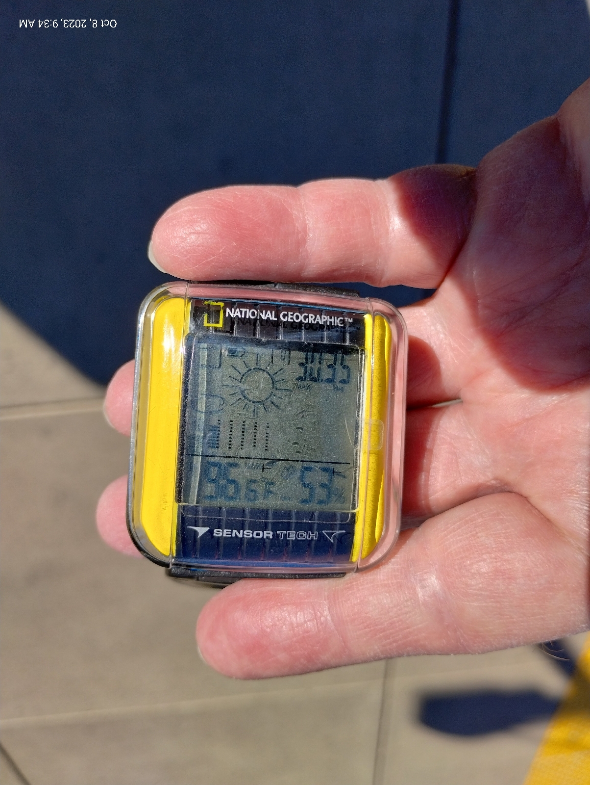
56 degrees and 53% humidity. Woof!


Mount Morrison is front and center. It's the first actual Rocky Mountain near Denver. The rest, Green Mountain, the two Table Mountains, Mount Carbon, the Dakota hogback, Red Rocks, are all foothills.
Here's a closer view from the Wadsworth Park and Ride where I waited for the taxi. Red Rocks Amphitheatre is right there.

The big rock on the right is Creation Rock and the one on the left is Shiprock.....uh, or is it the other way. Honestly, the names have swapped so many times I can't keep up with them. But they are red. The reason they don't look red is that phone cameras add blue to pictures to make them more presentable. Like most red in nature (some exceptions are cinnabar, rubies colored with chromium, cuprite, and red flowers and leaves), Red Rocks are red because of iron, specifically hematite (aka rust).

I usually enter Morrison on the Bear Creek Trail on the south side of Morrison Road, but the taxi let me out at the Phillips 66 on the north side and I noticed that there was a footpath that skirts the base of the road cut, so I took that. It was a good choice for a closeup view of the Dakota hogback.
It's called the Dakota hogback because it's capped with erosion resistant Dakota sandstone. Actually, it's layered with other stuff like this volcanic ash from an ancient volcano far to the south that blew it's top about 100 million years ago. Take note because you'll see it again. The hogback is a star of this hike.
During the Cretaceous period, around 100 to 95 million years ago, an interior seaway opened that split North America in two. Rise of sea level and erosion of gradients to the east and west slowed river flows, for instance, from hills to the west in what is now, Nevada and Utah, causing them to dump fine sediment along their routes and into the inland sea. This compacted to form the sandstones, clays, mudstones, and shales of the Dakota formation.
These rocks are widespread in North America, from Canada to Mexico and from Iowa to Nevada. These slow moving streams and swampy lowlands were host to a lot of life, big and small, and when that life died, provided an excellent environment for the production of fossils. Dakota rock is a rich source of many of the dinosaur skeletons that grace natural history museums of the United States today.
Climbers were out on the anticline this day. An anticline is a mass of rock that has been folded upward. The Dakota hogback ("hogback" because it reminded someone of the ridge along the back of a wild pig) is the result of the same mountain building event that raised the Rocky Mountains. A little further east, the rocks folded downward forming a big bowl, a syncline, the Denver Basin, that filled in with the sediments from the eroding Rockies. I remember that a syncline is a downward fold because "sync" sounds like "sink" and an anticline is...well, the opposite.
This road cut through the hogback is also the mouth of Bear Creek Canyon which opens up the Rockies back to Evergreen and the area around the base of Mount Blue Sky, third highest mountain in the Front Range. You can see it as the gray mountain in the distance in the photos at the top of this blog. It's gray because the peak is above the timber line, over 14,000 feet. No trees grow in the thin air and top soil up there.
The trail that parallels Morrison Road through the road cut let me out at the eastern border of the busy (always busy) tourist town of "historic Morrison", home of interesting shops and good places to eat. It was too early for my favorite burger place in Morrison, the Mill Street Inn, so I went across the street to The Cow for a milkshake. As I get older, I rarely eat real meals on hikes anymore. I focus on drinks to prevent dehydration. That's a major concern in dry Colorado.

Maple Street, across the road, heads up to Red Rocks Elementary School. I wanted to check out the intersection. Morrison Road passes through town through the mouth of Bear Creek Canyon and turns south there between the hogback and Mount Falcon. (The small but excellent Morrison Natural History Museum, home of what's left of dinosaurs, is down there.) Bear Creek Road branches off west toward Evergreen.


Several formations come together here.
The Dakota formation continues out under Morrison which is built on much younger unconsolidated materials of the Post-Piney Creek and Piney Creek alluviums, material that has been laid down by modern streams, mostly Bear Creek and Mount Vernon Creek, which parallels the hogback to the west.
Just before the intersection, the Lykins formation shows up as brown, iron rich sedimentary rock.
I guess this is a good place to introduce the rules of sedimentary succession. They're pretty intuitive and are important for dating rock....before radioactive dating it, and the identification of certain characteristic fossils, were about all that geologists had to build the geologic time scale.
The Law of Superposition: Younger formations are on top. That makes sense. They were the last sediments to be laid down.
The Law of Original Horizontality: Sediments are initially deposited horizontally. Gravity dictates that. That big anticline in the pictures above was originally flat as a pancake.
The Law of Crosscutting Relationships: If a layer cuts diagonally across rock, the crosscut is more recent. The younger rock cut through rock that was already there.
The Law of Lateral Continuity: If you see a layer in one part of a formation, don't be too surprised if you see it again miles, many miles, down the road in the same formation. It'll be the same layer, the same age.
These principles were first recorded by the 17th century Danish geologist Nicolas Steno, so they're also called Steno's Laws.
The Lykins formation lies atop most of the others in the area (except the debris piled up by the present day creeks) so it's very young by geological standards. About 250 million years old, the Lykins formation shows as a thin band of clay, mudstone, and limestone just west of the Dakota hogback. In places, it's banded, displaying it's only fossils, the sticky algae that were about the only thing that could grow in the muddy swamps of the Permian and Triassic boundary of the region. The Lykins limestone is responsible for many of the few caves in Colorado, like the ones around Manitou Springs near Colorado Springs.
Just west of the Lykins rocks the stone suddenly shifts to the red arkose sandstones of the Fountain Formation that made Red Rocks famous. It also makes up the spectacular scenery of Boulder's Flatirons and the pinnacles of it's Red Rocks Park, the standing stones of Roxborough State Park, Colorado Spring's Garden of the Gods, and even the big rocks scattered around Woodland Park's Red Rocks Campground, west of Pike's Peak. The Maroon Bells on the western slope of the Rockies are also of the Fountain formation.
You see it here as the red stone overlaying harder blonde sandstone. The Fountain formation is around 300 million years old, composed of material washed out of the Ancestral Rockies. It pretty much blanked the area where the older mountains were and when the current Rocky Mountains were uplifted by tectonic forces of the Pacific plate crashing into the North American plate far to the west, the shell of hard sandstone was cracked and pushed skyward, often standing on end.
The blonde sandstone is of the Lyons formation. You can see it in the walls of the buildings of the University of Denver campus in Boulder and the buildings and restraining walls around the Denver Tech Center. The hard sandstone that naturally breaks into sheets is a beautiful, durables, and popular building stone. It's about 280 million years old and....
Wait a minute! Aren't younger stones supposed to lay on top of older stones?
Well, yeah, generally, but sometimes things get flipped over and then you have to look for an explanation. This one's easy. Like I said, when the Colorado Plateau was uplifted to form the Rockies, it stood the Fountain formation on end, then the inexorable erosion continued working on the new Rockies, actually burying them in their own debris. This stuff formed the Lyons sandstone. Notice the slope of the blonde sandstone. It keeps rising upward until it is above the Fountain formation.
This sharp boundary between very different stones signal a fault. It's not always easy to see faults because they're usually covered by loose soil and alluvium but here it's clear.
Below the Fountain and Lyons formations is a big (big!) surprise. I'll show it to you in the next blog (wait for it!).
No comments:
Post a Comment