
It also becomes harder to get all this stuff down. It's not like more things are happening. Things have been going on since the beginning. Until geologically recently, there wasn't macroscopic living things to watch but, then, we don't have the bombardment from outer space that the early Earth had.
Primarily, the more recently we look, the more detail we can see.
The Eocene world looked much as it does today. At the beginning, the Indian subcontinent had not joined Asia but, by the end of the Eocene period, it had. The Arabian peninsula had not separated from Africa.
The Rocky Mountains were completing their first phase of uplift. They were not huge mountains...since erosion kept pace with the uplift, they were more like hills. The debris was washing into the Denver Basin forming the Denver and Dawson formations. Walnut Hills topology was gentle slopes. The sea was far away and would not return.
Mountain building forces were pushing from the west, so the older Front Range hills were (and are) oriented north to south. The forces will rotate southward so that younger mountains to the south will be more northwest to southeast. Volcanic islands will be adding on to the coast around what is now Texas.
Then there was peace for about 20 million years.
The Oligocene was...dramatic. I've talked about the Ignimbrite Flare-up...here it is. Some of the most explosive volcanic eruptions that have ever occurred on Earth took place in Colorado. For instance, Mt. St. Helens blew out about a cubic kilometer of volcanic ash. The eruption that ejected the Fish Canyon tuff in southern Colorado was the largest known and blew out 5,000 cubic kilometers of pyroclastic materials. Eventually, as much as a third of Colorado was covered with ash flows.
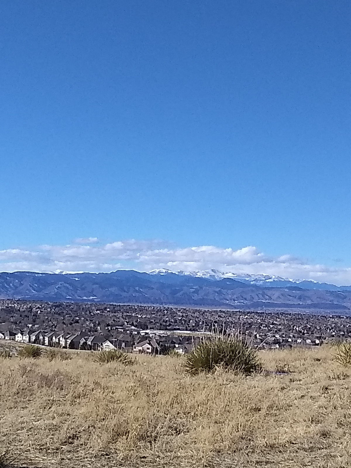
Mountain building events ramped up again during Miocene times lifting the Rockies to 5,000 feet. A couple of Flare-up eruption were important to Walnut Hills.
The Golden volcano that created the Table Mountain lava flows was an early volcano, perhaps even late Mesozoic. Radioactive dating places it at 64 to 62 million years ago.
Mount Guffey, west of Colorado Springs today blew it's top around 34 million years ago and belched a pyroclastic flow that extended almost to where Interstate 25 is today. The debris piled up around it by wind and flood formed the core of Palmer's Divide, which separates the watersheds of the South Platte and Arkansas Rivers. It can be seen to the south of Walnut Hills as The Bluffs. Cherry Creek, the second most important tributary in the Denver area, originates there.
The bentonite clays in the unconsolidated materials that cover the bedrocks of the Denver Basin are also of volcanic origin but were brought in by the wind from much further west, volcanoes in the areas that would become Utah and Nevada.
The last phase of uplift raised the Rockies to their present height. It also increased the gradient of the streams draining the mountains. More slope meant greater flow rate and faster erosion. Add in runoff from the Pleistocene glaciers 1.2 million years ago and there was plenty of energy for sculpting the ragged portrait of today's Rockies.

The material on the surface of Walnut Hills is Holocene, the most recent period of geologic time. It has been laid down over the last ten thousand years by runoff and Little Dry and Willow Creeks.
The aquifers that feed the creeks are only fifty to one hundred million years old, so the creeks are, at least, younger than that. As weathering has broken down older rocks, gravity and the creeks moved the powdered material (dirt, really) downstream, water was wearing down a path through the unconsolidated materials.
Little Dry Creek has all the characteristics of a young stream. Its course is relatively straight and the banks are deep. As a valley ages, the walls start to slump with the pull of gravity. The material that falls into the stream is washed down, ultimately, to the ocean. This stuff will end up in the Gulf of Mexico. As the valley widens, the stream will have more room to move from side to side and meanders will form. More middle aged streams like the South Platte River show these meanders. Old rivers, for example, the Mississippi, twists all over a wide, flat topography that it's cleared out and often branch into networks of streamlets that recombine with the main flow.
As the South Platte River and Cherry Creek wallowed out wide valleys bringing the ridge between into sharp relief, the slopes steepened for their tributaries near their headwaters on the ridge. They had more energy to cut deeper valleys of their own. Little Dry Creek and Willow Creek, of course, are two of those tributaries. They helped to widen the river valley.
Rapids, and maybe even waterfalls, pouring down the steep sides of the canyon cut into the soft material of the valley wall, cutting back to form that big hill that Arapahoe Road climbs today. The rapids have receded to the stream beds a little west of Holly Reservoir and up to the Valley Highway (I-25) and The Bluffs. They're still moving eastwards but have been slowed considerably by the weir dams and other fixtures placed by stream authorities in the Arapahoe and Douglas Counties.
There is some heated debate about what to call the last ten thousand or so years of geologic time. It has be proposed that it should be called the Anthropocene since the primary force shaping the surface of the Earth seems to be humanity. We have terra-formed our own planet.
No comments:
Post a Comment