

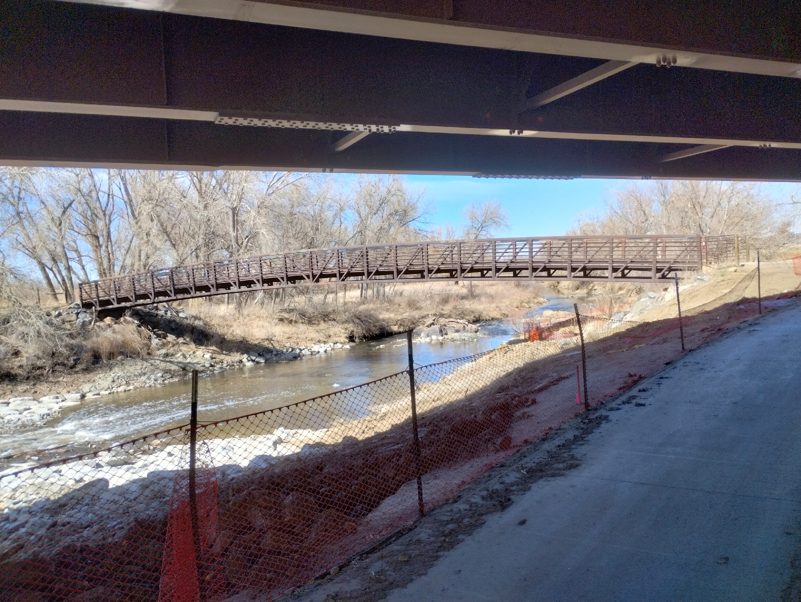
Here I am back at Gold Strike Park. In addition to historical information about placier mining in the area, the park features a really cool single-mast cable- stayed bridge. Somewhat smaller than the Millennium Bridge in downtown Denver, the principle is the same. Cables from a single pole suspend the trail bed.

The Rolston Creek Trail crosses Clear Creek here to join the Clear Creek Trail. I went straight on Clear Creek Trail against the direction I came from Arvada and realized I was going the wrong direction. First, the mountains were ahead of me and I should have been heading away from them. Also, the creek was flowing in the opposite direction from my bearing. But I did get to see two people panning for gold.
Placier methods like panning rely on the fact that gold is heavier than almost anything else you might find in a stream bed. The density of gold is around 19.3 grams per cubic centimeter. Sand tends around 1.63 grams per cubic centimeter. Gold will sink right through sand. To pan, you squat down on the bank of a creek (which is why I don't do it. My knees won't tolerate that any more.) and scoop a little sand and water from the bed into a prospector's pan (it looks a lot like a hub cap.) Swirling the contents around allow the heavier material to settle. You can pick the larger chunks of rock out first so you can see what you're doing. Some other stuff might look like the gold you're searching for. Pyrite and some kinds of mica can imitate gold but they're brittle and, while gold gets shinier when wet, pyrite and mica get duller. It takes some skill and a lot of patience to sift through the sand. Gold occurs as nuggets, grains and dust...usually dust, so a dropper is useful for sucking up the tiny particles. Sometimes, you can pan gold out of the sand from the bank of the creek, so a garden trowel can also be useful.
I didn't ask if they were having any luck. They looked tired.

Many tributaries have swelled Clear Creek by the time it has reached Arvada.

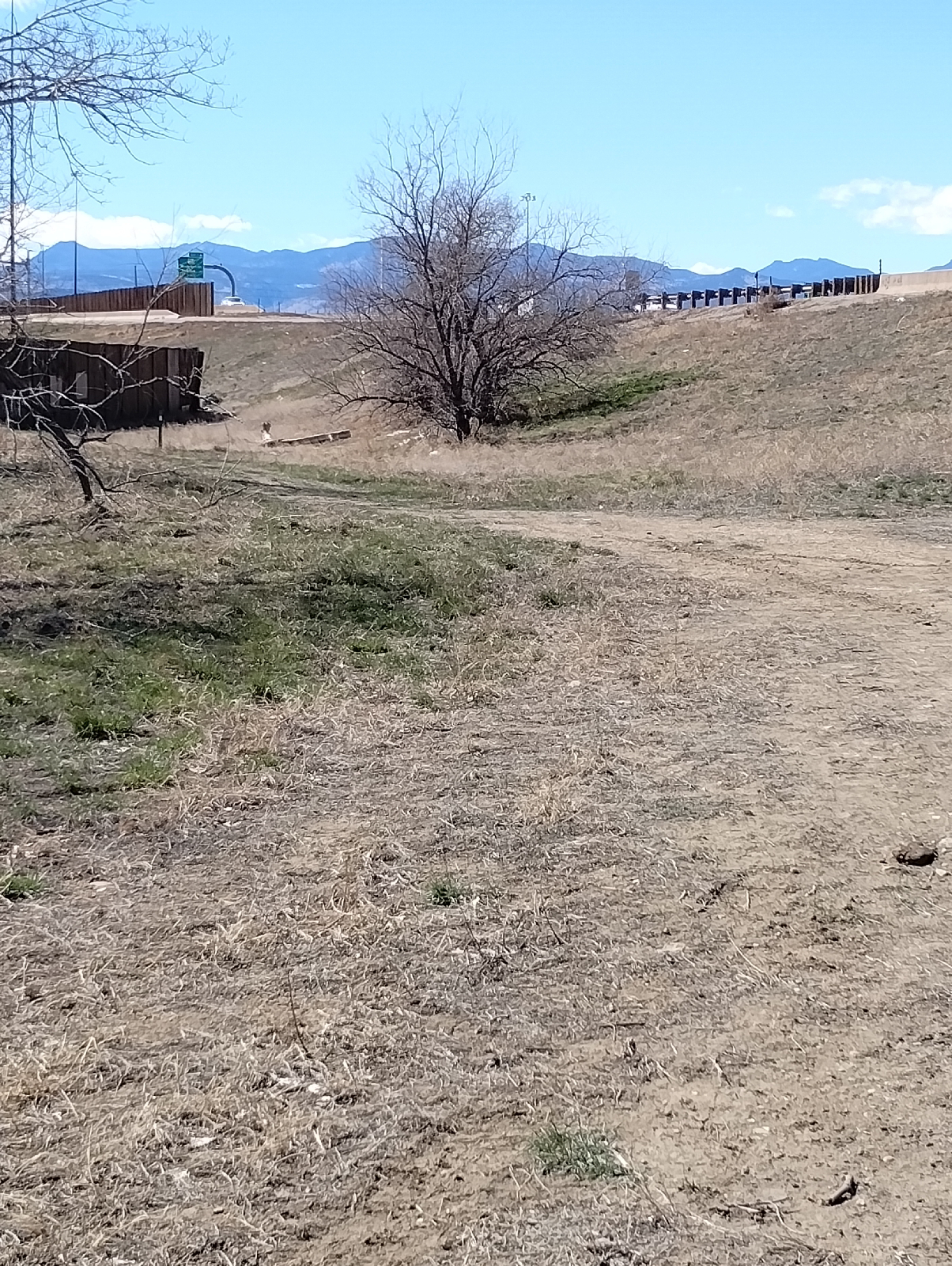
Clear Creek Trail runs along Interstate 76, so most of the scenery is like this with considerable background noise from the constant traffic. Still, it seems popular with bikers and joggers

Ducks seem to like Clear Creek alright.

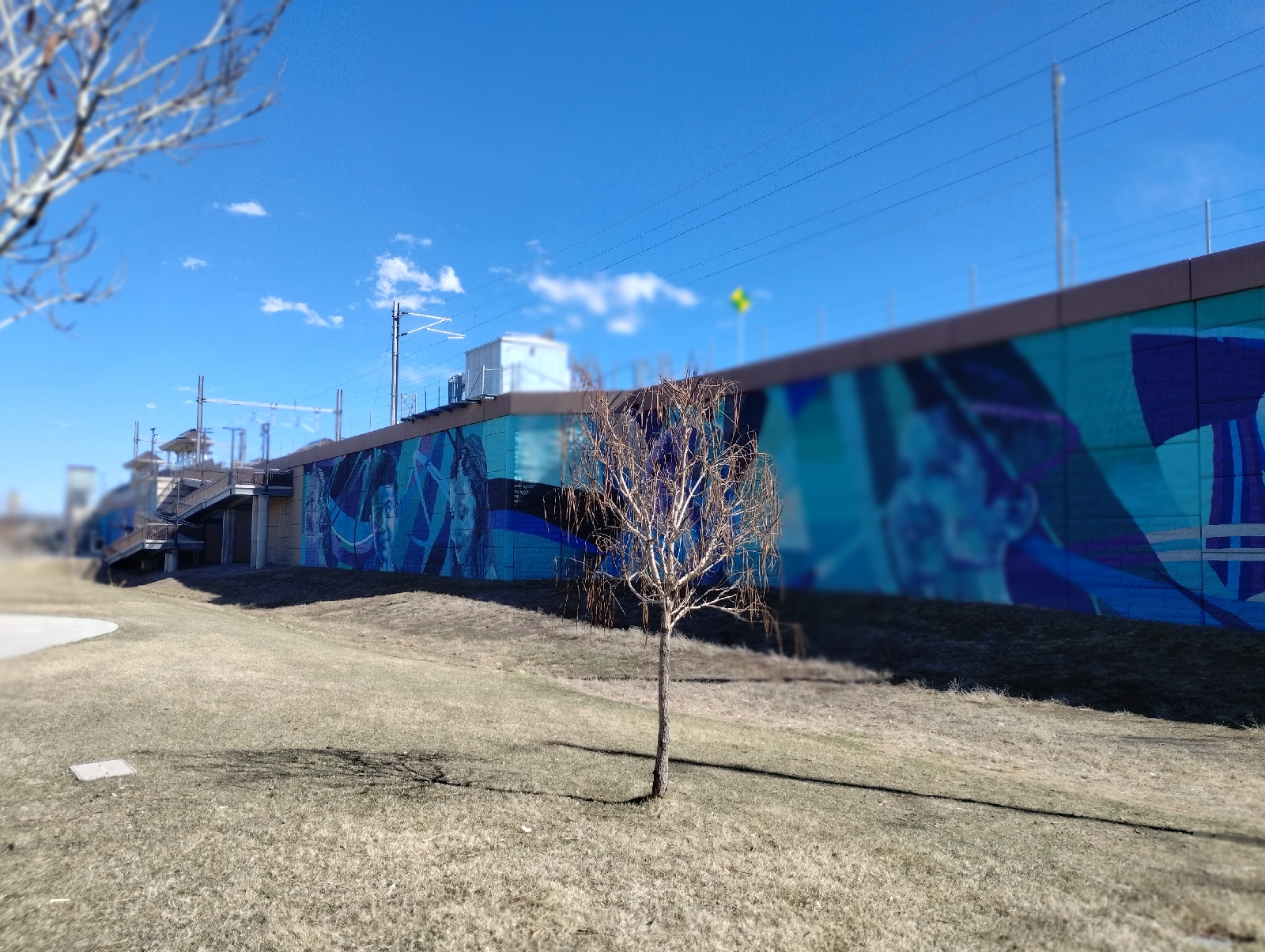

At the end of the hike, I was greeted by this huge mural...Diradus by Addison Karl is the largest piece in the RTD light rail collection. It is 190 feet long and 20 feet high.
The retaining wall also included this last challenge.
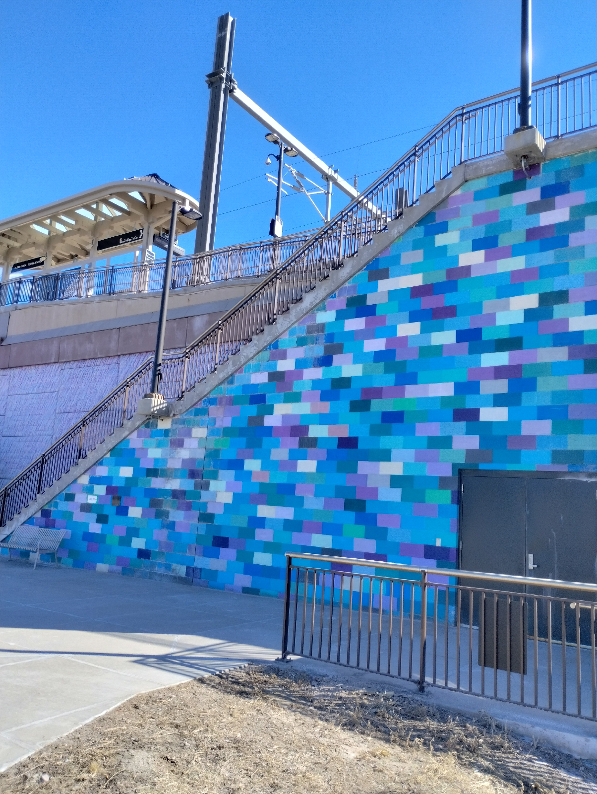
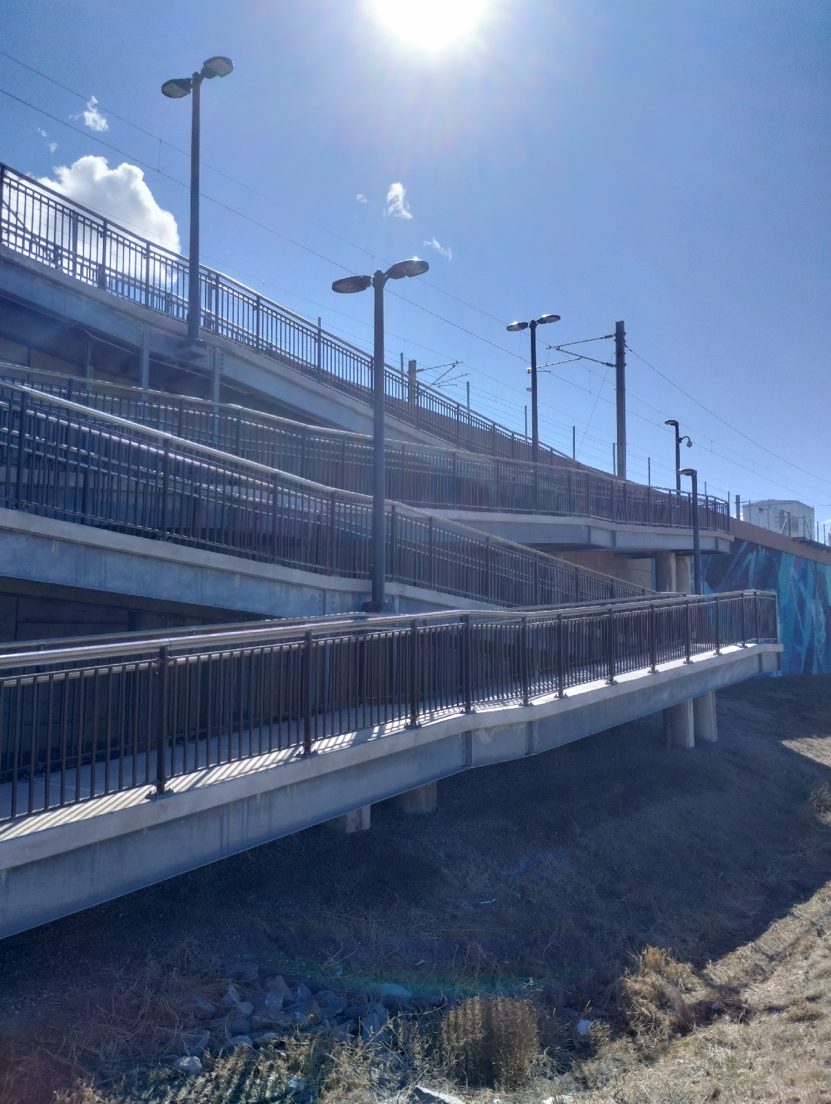
After scaling 20 feet of upness, I was finally at my destination, Clear Creek-Federsl Station.
One of the nice things about urban hiking in the Denver Metro area is that the grid of streets continue throughout. Wadsworth is west of Sheridan, which is west of Federal, and if you're familiar with the sequence in one part of the area, you can tell pretty much where you are in a part you're not familiar with.


Clear Creek Station has some great views of the Rocky Mountains as far north as Long's Peak.
With a stream, I always have an urge to follow it from the beginning to the end. Often, there are trails that make the trek easier. The plants around streams are different. Wildlife congregate there for water. The sand and gravel hides interesting minerals. Check out the stream near you
No comments:
Post a Comment