
South Rooney Road runs from the intersection of West Street and Colfax in Golden to the east entrance of Dinosaur Ridge on Alameda Parkway. It passes between the Dakota hogback and Green Mountain and has trailheads that go both ways. On my hike, I was ready to get home so I was ignoring the trailheads. I wasn't ignoring Rooney Road, though. The traffic was continuous if not outright heavy with people going to and from Dinosaur Ridge and Red Rocks Park, and the narrow shoulder was knee deep in places with grasses, thistles, and nettles.
So, if you visit, be careful.
Green Mountain, shown above, is popular with bird watchers and mountain bikers. It's not particularly spectacular in its own right (frankly, I think it's sorta barren and ugly) but the views from the summit of the Front Range, the Denver skyline, and the plains are stunning. And it has interesting wildlife and wildflowers. The summit is at 6854 feet and a hike from the base gives you an elevation gain of 677 feet.
It's a foothill, a three layer mud pie composed of Denver, Dawson, and Arapahoe conglomerates washed out of the Rockies as they rose from the plains. There are some patches of Shoshonite, like the volcanic stuff that caps the Table Mountains. All this stuff....well, from the mountains to the Mississippi River, the Great Plains, in fact, was once buried in sediments from the Rockies as erosion excavated them. Green Mountain is a patch of real estate that withstood erosion a little better than the land around it.
It's now a park, by name the William F. Hayden Green Mountain Park and there is a network of trails that run from one end to the other. Who was William F. Hayden? Well, he was rich. He and his family owned coal mines, cattle, and land in the Colorado. After he died in 1937, his family left the mountain to Lakewood, Colorado.

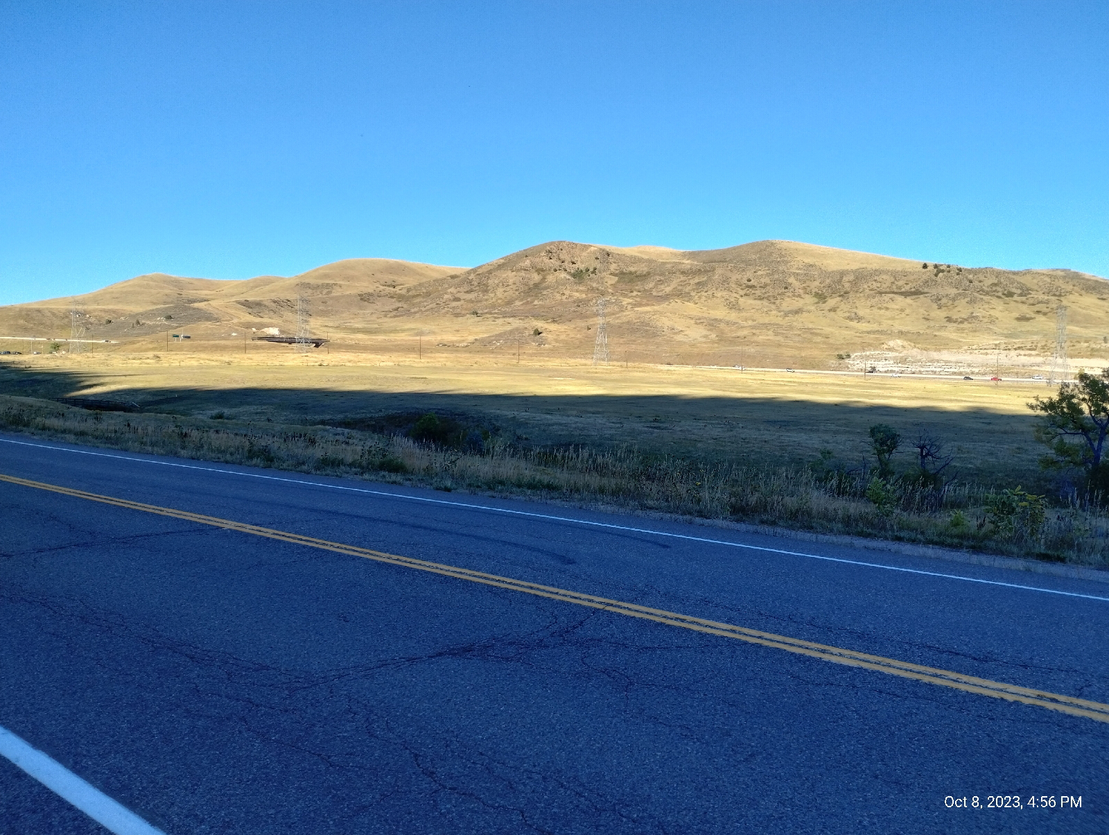
Interstate 70 crosses Rooney Road at the outskirts of Golden. The road cut through the Dakota hogback appears in a surprising number of books including geology texts. It includes a very clear unconformity between the Dakota and Morrison formations.

Thunder Valley is a large all-terrain vehicle park. It looks like it would be fun to explore the hogback there.

This was a sight I earnestly desired. Coming over a bridge I saw the Jeffco (Jefferson County) Government Center right there in front of me with its backdrop of the Rocky Mountains and the two Table Mountains. If you've been following my blog, you've seen a lot of Golden, Colorado.
This hike was somewhere between twelve and fifteen miles, which would not have been so tiring except I began in Morrison at an elevation of about 5723 feet. At the top of the Geological Overlook Trail I made it to 6680 feet. That was an elevation gain of around 957 feet.
I was tired.
Rooney Road turned into West Street which leads to a convenience store where I could recover some electrolytes. A foot trail to the government center rather conveniently started there and I was very soon at the train station. Tired and sore, I enjoyed sitting throughout the return trip to Centennial. It was night when I arrived. The trip was one to remember.
This was a hike that effectively encapsulated the history of the Front Range of the Rocky Mountains. Is there a place like that that provides insights into the big history of your area?


