Sunday's station-to-station hike started and ended with a supply run. That usually happens at the first of the month when I have money. The above photos are of a city park....certainly not a nature park.
It's sorta pretty in a geometric way and people do walk their dogs there.
Another requisite shot of the Rockies, this time from Alameda Station. It's a panorama so you'll have to blow it up for details, but it illustrates why I like these vistas on the light rail on the way to hikes in the mountains.
This one shows the Front Range and foothills from Golden to Long's Peak far to the north. That's Green Mountain in the left center between the two lone trees.To the right of that are the two Table Mountains (you can identify them by their sloping flat tops with what looks here like a lighter layer on top.) Further to the north are the mountains between Golden and Boulder including The Flatirons. The jagged peak in the distance is Long's Peak.
Taking a train back to Southmoor Station, I retraced my path from the last station-to-station hike to rejoin Goldsmith Gulch on Yale. Remember the last time, the gulch had gone underground to flow past a shopping center. This is where it resurfaces from under Yale It looks a lot like a drainage ditch....mainly because it is a drainage ditch.
Denver Metro keeps it's drainage ditches pretty presentable. They usually host parks and footpaths.
The Highline Canal crosses Goldsmith Gulch in James A. Bible Park. Intuitively, there are only two ways that two streams can cross and remain two streams. One stream can cross over the other on an aquaduct. That's what happens here. It's an interesting aquaduct. It doubles as a bridge carrying the Highline Canal (currently dry), a road, and a footpath over Goldsmith Gulch.
The other way is for one stream to go under the other at a syphon. That's how the Highline Canal crosses Little Dry Creek, and further south, Plum Creek.
You would think that, when two streams meet, one will dominate the other, the stronger current capturing the flow of the other stream with silting building up the bank of the stronger stream..
Strangely, as this website indicates:
There are two places in the world where streams do cross. At Wegroweic, Poland, the land is flat and where the two streams meet, a vortex is set up that spins the waters out so that only about 10% of their waters meet. I've mentioned that at confluences, waters of the separate streams often remain separate for some distance downstream from where they meet.
The two streams are so evenly balanced that they cross and continue on their separate ways.
The Highline Canal (I have several blogs featuring this stream, which is a very interesting feat of engineering. Just check the Blogger search bar at the top of the Home page) crosses several other streams, both natural and manmade, on it's 71 mile long journey from Watertown Canyon through the Denver Metro area.
In case you're wondering who James A. Bible is, he worked for Denver Parks and Recreation for 50 years and, when he retired, they threw a party for him and told him they had named a park after him.
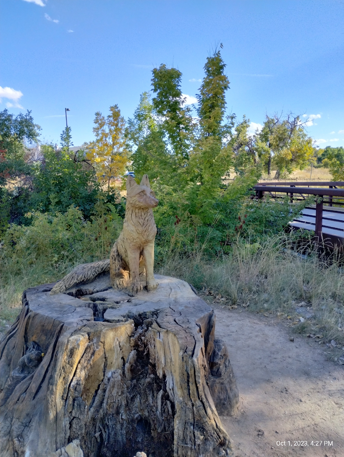
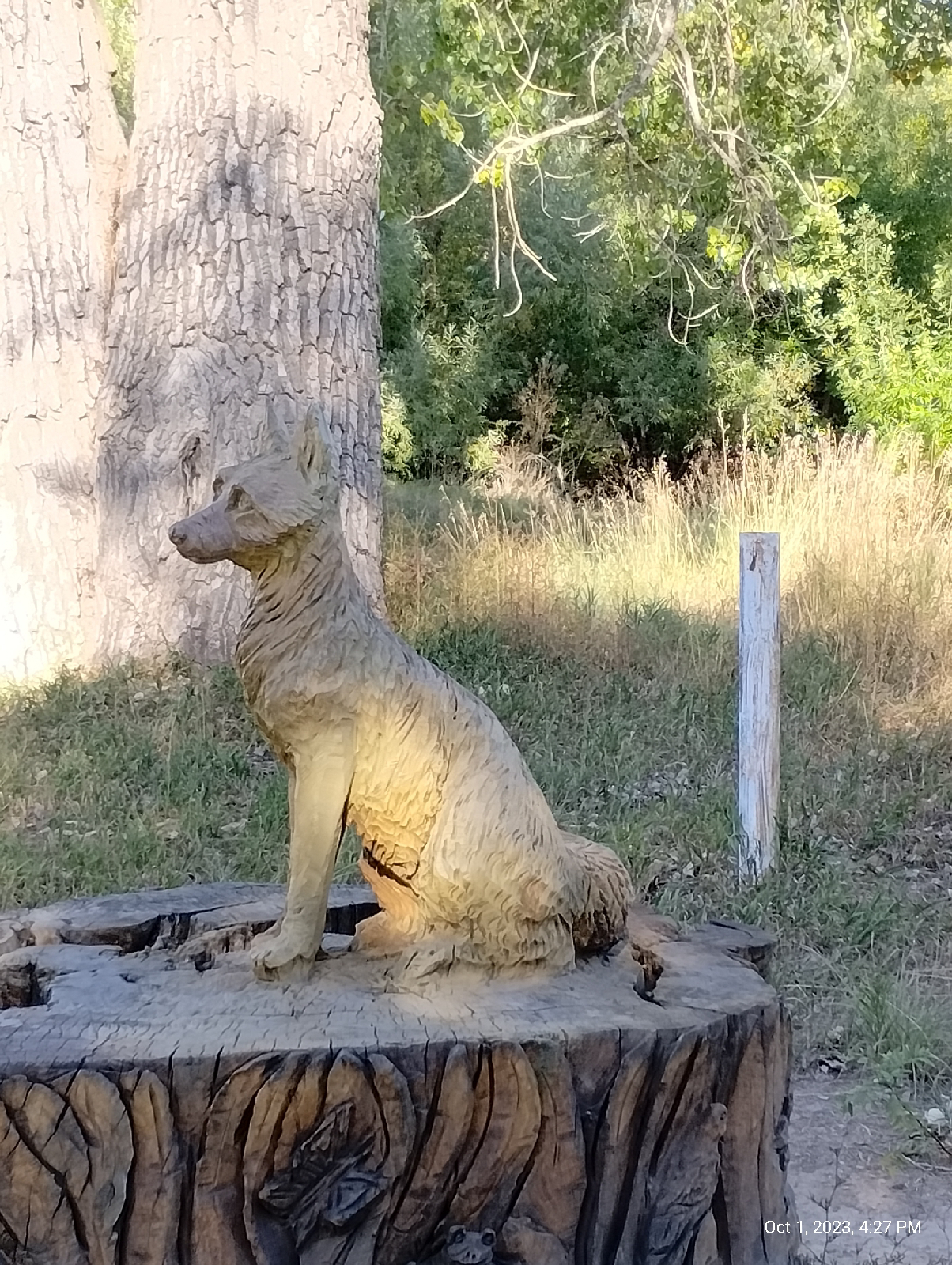
There are chainsaw sculptures at both ends of the aquaduct created by an artists who called herself Chainsawmama. Her real name is Faye Braaten and her work is gorgeous.
The walk from Bible Park to Yale Station isn't long but the end isn't visible until you top a rise between. The Highline Canal is so convoluted that it crosses Yale three times on its way north. That's Mount Morrison and Mount Blue Sky in the distance. The bridges are the Valley Highway (Interstate 25) and the RTD light rail.
There's Yale Station and my destination. I usually approach it from the other side, often shopping at the stores on Colorado Boulevard and my dentist is down the hill, also. I will hike down there for my next station-to-station hike.
Yale affords a lot of good views of the mountains.
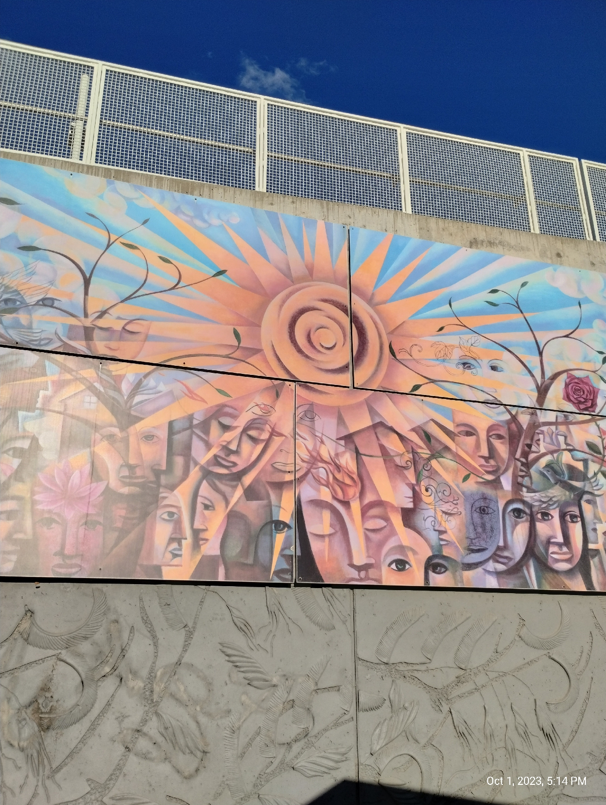
One of the grand RTD murals is on the platform wall of Yale Station.
"Connected" was painted by artist Gregory Gove in 2006.
Sound barriers and walls in this section of the light rail are embossed with what looks to me like a ticket. I'm not sure what they portray but it might be willows, Blue Gramma (the state grass), and/or maybe locust trees. Anyway, your guess is as good as mine.
After finishing my hike, I headed over to Englewood Station and the nearby Walmart to pick up some supplies. By the time I returned to the station, the sun was setting and the cross on Mount Lindo was lit.
It marks a cemetery on one of the mountains near Conifer. I will have to visit it some day. Views from the summit are supposed to be breathtaking.
The next blog will be an anatomy of the Front Range, a long hike that brings it all together. It'll be a long one so the write-up will take some time. See you then.


No comments:
Post a Comment